You will get MySQL Database Development & Optimization Services
Project details
I offer professional MySQL database services, including development, optimization, troubleshooting, and maintenance. Whether you need a new database designed from scratch, optimization of existing queries, or database migration, I provide efficient and reliable solutions tailored to your business needs.
Database Type
MySQL, MS Access, PostgreSQLWhat's included
| Service Tiers |
Starter
$10
|
Standard
$30
|
Advanced
$120
|
|---|---|---|---|
| Delivery Time | 2 days | 5 days | 7 days |
Number of Revisions | 0 | 0 | 0 |
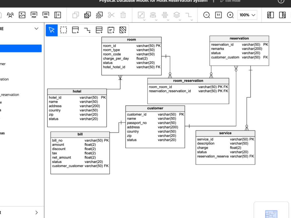
Schema Diagram | |||
Permissions Setup | - | ||
Import/Export Data | |||
Admin Panel Setup | - | - |
About Beeba
GIS & Remote Sensing | QGIS | ArcGIS | Spatial Analysis | Cartography
Karachi East, Pakistan - 12:13 pm local time
From KMZ files to complex geospatial modeling. I transform your spatial data into decision-ready insights. Whether you're managing urban growth, assessing environmental impact, or developing smart infrastructure, I offer custom GIS solutions that deliver clarity, precision, and value.
----- WHAT I CAN HELP YOU WITH -----
📍 Urban & Environmental GIS
– Site suitability, zoning, EIA, infrastructure planning
📍 Remote Sensing & Image Analysis
– Land use change, NDVI, vegetation health, coastline monitoring
📍 Terrain & Elevation Modeling
– DEM analysis, flood risk, slope, watershed, 3D surfaces
📍 CAD & GIS Conversions
– Shapefiles to DXF/DWG, topographic layers, seamless integration
📍 Custom Venue & Seating Maps
– SVG, Illustrator, or web formats for stadiums, theaters, expos
📍 Multi-Criteria Decision Analysis (MCDA)
– AHP, MCE, weighted overlays for land development or zoning
📍 Open Data & Geo-integration
– OpenStreetMap, Google Earth Engine, public geospatial datasets
----- 3 REASONS WHY WE SHOULD WORK TOGETHER -----
1. Master’s in Geology + years of applied GIS in urban planning, hydrology & environment
2. I don't overcommit just to win jobs
3. I communicate clearly and work with minimal supervision
----- TOOLS I USE -----
Mapping & Analysis: ArcGIS, QGIS, Google Earth Engine
Remote Sensing: ENVI, ERDAS Imagine, SNAP
Automation & Scripting: Python (GeoPandas, Rasterio, GDAL), SQL
Visualization & Design: Mapnik, Adobe Illustrator, Visio
Send me a message today to get started.
Cheers!
Steps for completing your project
After purchasing the project, send requirements so Beeba can start the project.
Delivery time starts when Beeba receives requirements from you.
Beeba works on your project following the steps below.
Revisions may occur after the delivery date.
Client purchases the project and sends requirements.