You will get Manual Data Entry from Field Forms with Verification & PDF Conversion
Project details
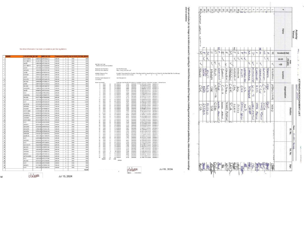
This project involved converting large volumes of handwritten field data into structured Excel spreadsheets. I carefully entered participant names, ID numbers, phone contacts, dates, and payment details collected during field activities. All entries were cross-checked against source documents to ensure accuracy and consistency. The verified data was then converted into professional PDFs, reviewed collaboratively by the project team via the Box platform, approved, signed, and merged into final consolidated documents for official records.
Convert From
XLSXConvert To
PDFWhat's included
| Service Tiers |
Starter
$10
|
Standard
$20
|
Advanced
$30
|
|---|---|---|---|
| Delivery Time | 2 days | 3 days | 5 days |
Number of Revisions | 1 | 0 | 0 |
Number of Pages Edited/Reformatted | 2 | ||
Calculation Function | - | ||
Drop Down Menu | - | - | |
Text Boxes | - | ||
Picture Upload | - | - | |
File Signature | - | ||
Basic Function Buttons | - |
About Cyril
GIS & QGIS Specialist | Spatial Analysis | Mapping for NGOs & Research
Mwingi, Kenya - 8:15 am local time
I specialize in:
Study area and project site mapping
Administrative boundary & ward-level analysis
Environmental and humanitarian GIS mapping
NDVI, LULC, and satellite image analysis
NGO, academic, and donor-ready cartographic layouts
I have produced GIS outputs for solar energy research, landscape restoration, humanitarian (PRRO) projects, and environmental planning, ensuring maps are clear, accurate, and compliant with professional and academic standards.
Why clients choose me:
✔ Clear communication & fast turnaround
✔ Clean, publication-ready map layouts
✔ Strong understanding of NGO & research needs
✔ High attention to spatial accuracy and design
Whether you need a study area map, project site visualization, or spatial analysis, I deliver GIS products you can confidently present to donors, supervisors, or decision-makers.
📍 Tools: QGIS, Google Earth Engine, Sentinel data, SCP
📍 Outputs: PDF, PNG, GeoPackage, Shapefiles
Let’s turn your spatial data into powerful insights.
Steps for completing your project
After purchasing the project, send requirements so Cyril can start the project.
Delivery time starts when Cyril receives requirements from you.
Cyril works on your project following the steps below.
Revisions may occur after the delivery date.
1. The clients shares the documents in PDF format