You will get professional GIS mapping and GPS data conversion to KML or DWG
Rising Talent
Rising Talent
Project details
I will convert your GPS coordinates, Excel or GIS data into clean, structured and professional KML, DWG or GIS-ready files.
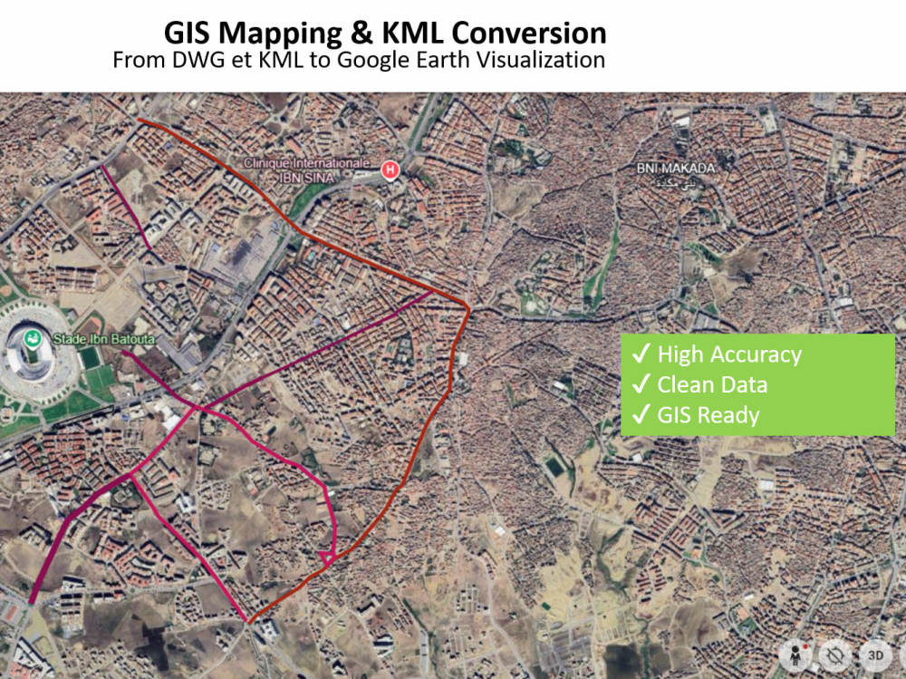
Whether you have raw coordinates, survey data or large datasets, I ensure accurate transformation, proper projection handling (WGS84, UTM, Lambert) and high-quality visualization in Google Earth or GIS software.
✔ GPS / Excel / CSV to KML conversion
✔ GIS data structuring & cleaning
✔ Google Earth visualization
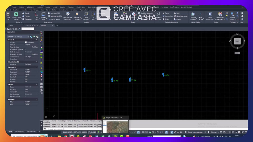
✔ AutoCAD (DWG/DXF) ready outputs
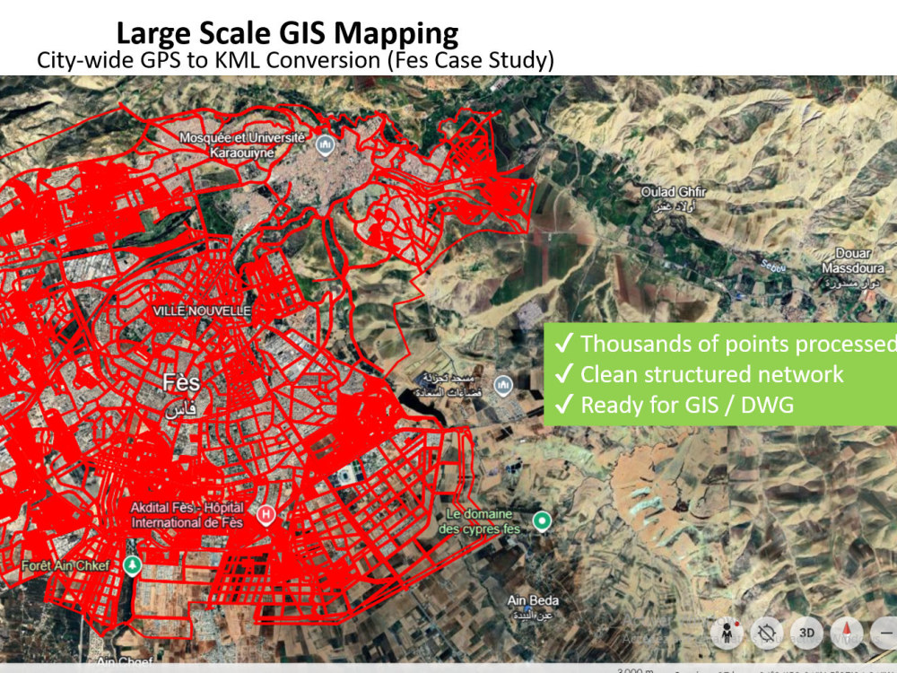
✔ Large dataset processing (city-scale projects)
I focus on accuracy, clarity and professional results ready for engineering, mapping or analysis.
Let’s transform your data into a powerful GIS-ready solution.
I can also convert data from Google Earth (KML/KMZ) or QGIS into Excel, DWG, DXF or any required GIS format.
Already have your data mapped? No problem, I can restructure, clean and convert it into professional, ready-to-use outputs.
Whether you have raw coordinates, survey data or large datasets, I ensure accurate transformation, proper projection handling (WGS84, UTM, Lambert) and high-quality visualization in Google Earth or GIS software.
✔ GPS / Excel / CSV to KML conversion
✔ GIS data structuring & cleaning
✔ Google Earth visualization
✔ AutoCAD (DWG/DXF) ready outputs
✔ Large dataset processing (city-scale projects)
I focus on accuracy, clarity and professional results ready for engineering, mapping or analysis.
Let’s transform your data into a powerful GIS-ready solution.
I can also convert data from Google Earth (KML/KMZ) or QGIS into Excel, DWG, DXF or any required GIS format.
Already have your data mapped? No problem, I can restructure, clean and convert it into professional, ready-to-use outputs.
Convert From
XLSXConvert To
DWGWhat's included
| Service Tiers |
Starter
$10
|
Standard
$20
|
Advanced
$40
|
|---|---|---|---|
| Delivery Time | 1 day | 1 day | 2 days |
Number of Revisions | 1 | 2 | Unlimited |
Optional add-ons
You can add these on the next page.
Fast Delivery
+$10
Additional Revision
+$5
Google earth visualisation
(+ 1 Day)
+$10
DWG Autocad file
(+ 1 Day)
+$15Frequently asked questions
2 reviews
(2)
(0)
(0)
(0)
(0)
This project doesn't have any reviews.
CH
Collin H.
Aug 24, 2026
Drone Photogrammetry: Process Photos into 3D Map, CAD Topo (1m/5m), & KMZ
Abderrahman did a great job. Would work with him again.
GR
Gabriel R.
Aug 4, 2026
LiDAR Point Cloud | AutoCAD CAD Drafter | Topographic & Scan to CAD
About Abderrahman
LiDAR & Survey | Point Cloud to CAD | Photogrammetry | Drafting
100%
Job Success
Rabat, Morocco - 3:00 am local time
I specialize in transforming raw geospatial data into accurate, structured, and ready-to-use engineering deliverables. Whether the data comes from point clouds (LAZ, LAS, E57, RCP, RCS, PTS, PTX, PLY), drone imagery, or laser scans, I process and convert it into clean, precise, and professional CAD drawings.
My services include:
✔ Topographic plans from point clouds (LiDAR / laser scanning)
✔ Point cloud to DWG / DXF conversion
✔ Point cloud classification, cleaning, and segmentation
✔ PDF to DWG / DWG to PDF conversion
✔ CAD drafting from orthophotos and survey data
✔ Sections, cross-sections, and elevation drawings
✔ Processing of drone data (Pix4Dmatic / Metashape)
✔ Generation of orthophotos, DSM/DTM, and dense point clouds
With strong experience in large infrastructure and construction projects, I understand the importance of precision, clarity, and reliability. I deliver well-structured drawings that are easy to use for engineering, design, and construction execution.
🔹 Tools:
• AutoCAD (Advanced drafting & CAD production)
• CloudWorx (Point Cloud to CAD extraction)
• Leica Cyclone & Register 360 (registration, cleaning, classification, inspection)
• Trimble RealWorks (point cloud processing & classification)
• Pix4Dmatic & Agisoft Metashape (image processing, 3D reconstruction, orthophotos, DSM/DTM)
• QGIS (data conversion, SHP/KML/DXF handling, GIS workflows)
• Covadis (topographic design, profiles, and survey calculations)
🔹 Why clients choose me:
✔ 14+ years of real field experience
✔ High precision and clean drawings
✔ Strict deadline adherence
✔ Clear communication and regular updates
I am committed to delivering accurate, clean, and reliable results for every project.
Let’s work together to turn your data into high-quality engineering drawings.
Steps for completing your project
After purchasing the project, send requirements so Abderrahman can start the project.
Delivery time starts when Abderrahman receives requirements from you.
Abderrahman works on your project following the steps below.
Revisions may occur after the delivery date.
Data review & validation
I check and clean your data (coordinates, format, projection) to ensure accuracy.
Conversion & processing
Convert your data into the requested format (KML, GIS, AutoCAD, etc.).