You will get professional static maps with publication ready cartography
Project details
A poorly designed map can distract stakeholders. Whether for a grant proposal, research paper, or environmental report, you need clean, publication-grade cartography.
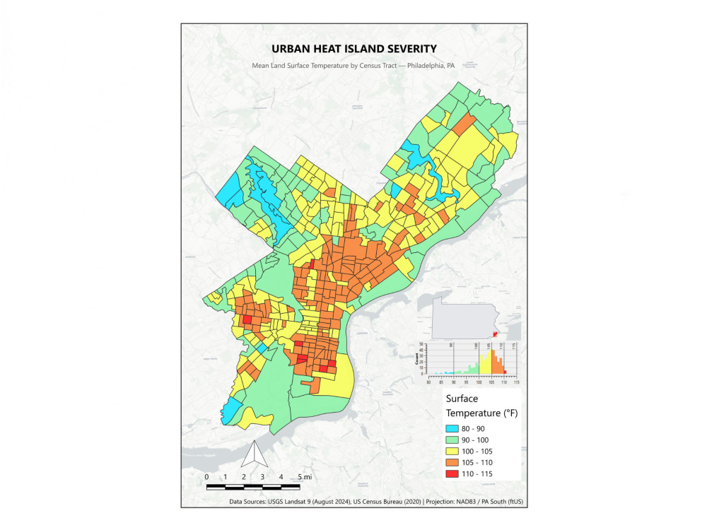
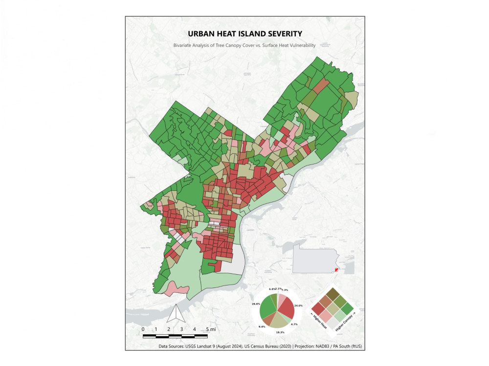
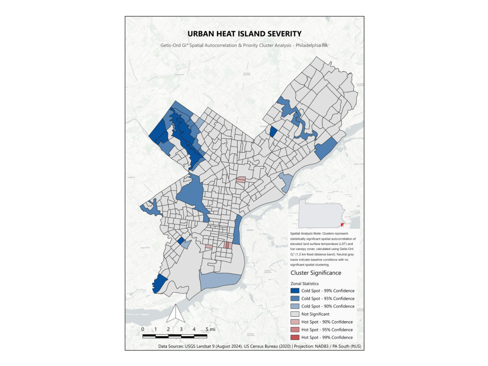
Using QGIS, I transform your spatial datasets—or source open government and Census data for you—into visually striking, accurate maps with balanced layouts and precise symbology.
WHAT I CAN CREATE:
• Academic & Research: Publication-ready figures for journals and theses
• Environmental & Planning: Heat vulnerability, land use, and bivariate analysis
• Site Location: Multi-scale locator maps with insets for field studies
WHAT YOU WILL RECEIVE:
• High-resolution outputs (300 DPI PDF, PNG)
• Professional typography & essential elements (scale, legend, north arrow)
• Custom color palettes matched to your brand or journal guidelines
Please message me before placing an order to confirm your project scope and data needs!
Using QGIS, I transform your spatial datasets—or source open government and Census data for you—into visually striking, accurate maps with balanced layouts and precise symbology.
WHAT I CAN CREATE:
• Academic & Research: Publication-ready figures for journals and theses
• Environmental & Planning: Heat vulnerability, land use, and bivariate analysis
• Site Location: Multi-scale locator maps with insets for field studies
WHAT YOU WILL RECEIVE:
• High-resolution outputs (300 DPI PDF, PNG)
• Professional typography & essential elements (scale, legend, north arrow)
• Custom color palettes matched to your brand or journal guidelines
Please message me before placing an order to confirm your project scope and data needs!
File Format
JPG, PDF, PNGInfographic Type
GeographicWhat's included
| Service Tiers |
Starter
$25
|
Standard
$65
|
Advanced
$150
|
|---|---|---|---|
| Delivery Time | 2 days | 3 days | 4 days |
Number of Revisions | 1 | 2 | 3 |
Number of Data Points | 1 | 1 | 3 |
Source Files | - | - | |
Commercial Use | |||
Conduct Research | |||
Post to Infographic Sites | - | - | - |
Optional add-ons
You can add these on the next page.
Fast Delivery
+$20 - $60
Additional Revision
+$20
Additional Data Point
(+ 1 Day)
+$40
Source File
+$25Frequently asked questions
About Evan
GIS Analyst | QGIS, Python, Spatial Data Analysis
Philadelphia, United States - 10:19 am local time
I bring 7+ years of GIS and data experience, most recently on Lyft's Mapping Product team, where I analyzed telemetry and driver-behavior data to identify and fix GPS/localization issues across 130+ international markets, and built internal alerting tools to catch problems early. My graduate research applied spatial statistics (Empirical Bayesian Kriging, network analysis) and remote sensing to study walkability, land use, and housing quality.
What I can help with: spatial analysis and cartography in QGIS, ArcGIS Pro/Online, and PostGIS; Python-based geospatial automation (GeoPandas, ArcPy) to replace manual workflows; environmental, demographic, and infrastructure data analysis for planning and sustainability projects.
I'm currently building out a portfolio of environmental and climate-risk mapping projects and would love to bring that same rigor to yours. Let's talk about what you need mapped or analyzed.
Steps for completing your project
After purchasing the project, send requirements so Evan can start the project.
Delivery time starts when Evan receives requirements from you.
Evan works on your project following the steps below.
Revisions may occur after the delivery date.
Requirement Review & Data Sourcing
I review your project scope, verify any provided spatial files, or source the necessary open government/Census data. I then confirm your target layout dimensions, branding, or publication guidelines.
Draft Map Layout & Symbology
I build the core cartographic layout in QGIS, setting up color ramps, spatial boundaries, and essential map elements (legend, scale bar, north arrow). I then send a draft preview for your initial review.