You will get Custom Web GIS Application With Layers Admin Panel And API
Rising Talent

Rising Talent
Project details
CUSTOM WEB GIS APPLICATION — BUILT FOR REAL DATA
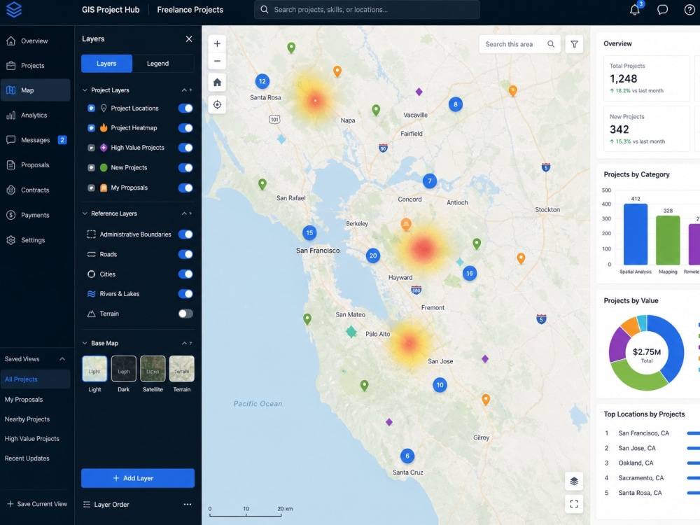
You have spatial data. You need a fast, professional web map your team can use — with layers, filters, search, and an admin panel to manage it.
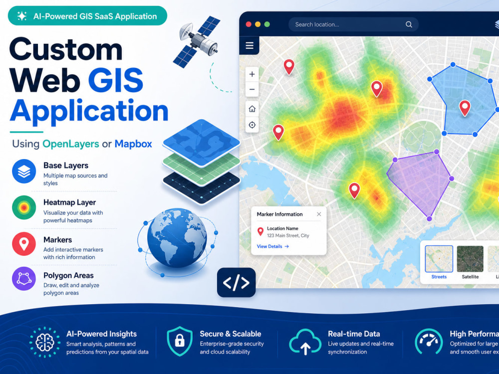
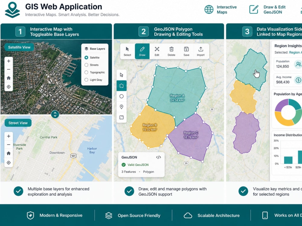
I build production Web GIS applications: interactive maps (Leaflet, Mapbox/MapLibre, OpenLayers), layer controls, popups, clustering for large datasets, user auth, REST APIs, and PostgreSQL/PostGIS backends. 14+ years shipping GIS for aviation, location intelligence, elections, and enterprise field tools.
WHAT YOU GET
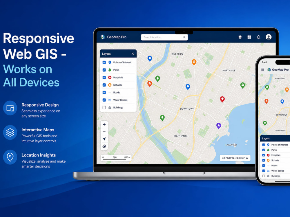
• Responsive interactive map with GeoJSON, shapefile, or CSV data
• Filters, search, legends, popups, and layer styling
• Admin panel and API (Standard/Advanced tiers)
• Performance tuning for real-world dataset sizes
• Full source code, cloud deployment, docs, and handover call
GOOD FIT: asset/site maps, weather or risk overlays, property viewers, survey maps, ops dashboards with a map core.
NOT A FIT: location scoring or prioritization engines — see my Location Intelligence MVP project. WordPress or landing pages.
Stack: React/Next.js, TypeScript, Node.js, PostGIS, Python, Docker, AWS. Message me with a sample file or reference map before ordering.
You have spatial data. You need a fast, professional web map your team can use — with layers, filters, search, and an admin panel to manage it.
I build production Web GIS applications: interactive maps (Leaflet, Mapbox/MapLibre, OpenLayers), layer controls, popups, clustering for large datasets, user auth, REST APIs, and PostgreSQL/PostGIS backends. 14+ years shipping GIS for aviation, location intelligence, elections, and enterprise field tools.
WHAT YOU GET
• Responsive interactive map with GeoJSON, shapefile, or CSV data
• Filters, search, legends, popups, and layer styling
• Admin panel and API (Standard/Advanced tiers)
• Performance tuning for real-world dataset sizes
• Full source code, cloud deployment, docs, and handover call
GOOD FIT: asset/site maps, weather or risk overlays, property viewers, survey maps, ops dashboards with a map core.
NOT A FIT: location scoring or prioritization engines — see my Location Intelligence MVP project. WordPress or landing pages.
Stack: React/Next.js, TypeScript, Node.js, PostGIS, Python, Docker, AWS. Message me with a sample file or reference map before ordering.
Programming Languages
HTML & CSS, JavaScript, TypeScriptCoding Expertise
Performance Optimization, Security, DesignWhat's included
| Service Tiers |
Starter
$3,000
|
Standard
$5,000
|
Advanced
$10,000
|
|---|---|---|---|
| Delivery Time | 5 days | 10 days | 15 days |
Number of Revisions | 2 | 3 | 5 |
Design Customization | - | ||
Content Upload | - | - | |
Responsive Design | |||
Source Code |
Optional add-ons
You can add these on the next page.
Real-time or Live Data Integration
(+ 3 Days)
+$500
Large Dataset Performance Optimization
(+ 4 Days)
+$500
Indoor / Floor Mapping Support
(+ 4 Days)
+$500Frequently asked questions
1 review
(1)
(0)
(0)
(0)
(0)
This project doesn't have any reviews.
VM
Victor M.
Aug 16, 2026
Custom Survey and Customer Management System
Muhammad was effient in delivering the solution. Presented experise in the Technology and was able to resolve issues, reworking a system that had failed, making it work withing a short period. He is an excellent communicator. The best value is in his competent delivery of a solution, providing documentation at every phase of development. I recommend him without doubt. even for complex tasks.
About Muhammad
GIS + AI Data Platforms | Location Intelligence, Scoring & Web Maps
Islamabad, Pakistan - 8:56 am local time
14+ years shipping production Web GIS, SaaS dashboards, and data pipelines for aviation, real estate, elections, and enterprise field operations.
What I deliver:
Decision dashboards — ranked lists + map views (opportunities, sites, assets, risks)
Web GIS apps — OpenLayers, Leaflet, Mapbox/MapLibre, React/Next.js
Spatial data pipelines — geocoding, ETL, PostGIS, GeoJSON, QGIS workflows
Scoring & validation — rule-based ranking, confidence flags, review queues
Integrations — APIs, CRM, Airtable, Zapier/Make
Recent production work (off-Upwork):
1,192-site connectivity/GIS platform with automated validation and confidence scoring
227+ plot real-estate intelligence map with status scoring and expiry alerts
Election-scale live dashboards (8M+ voter geography) with real-time map overlays
Aviation weather/risk GIS, survey + customer management systems
Stack: React, Next.js, TypeScript, Node.js, Python, PostgreSQL/PostGIS, Docker, AWS.
Good fit if you have: shapefiles, messy lat/lng, multiple data sources, or a business question like "which locations should we prioritize?"
Not a fit for: logo-only design, generic WordPress, or $500 landing pages.
Let's start with your data sample and the one decision your team needs to make — I'll tell you honestly if I'm the right fit.
Steps for completing your project
After purchasing the project, send requirements so Muhammad can start the project.
Delivery time starts when Muhammad receives requirements from you.
Muhammad works on your project following the steps below.
Revisions may occur after the delivery date.
Discovery & data review
Review your data (shapefile, GeoJSON, CSV with coords), map goals, layers, and users. Confirm stack and tier scope.
Architecture & Map core
Set up backend + database, build base map, import first layer, establish styling and performance baseline.