You will get A fantastic GIS Dashboard for smooth Operations Management
Project details
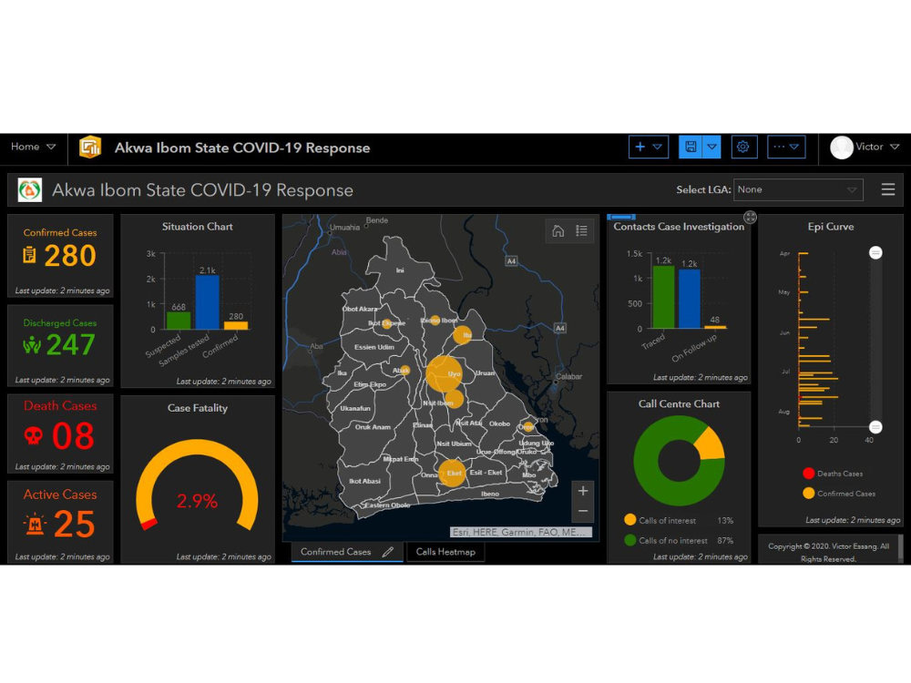
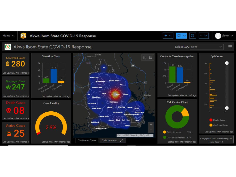
The dashboard I develop is not just a tool for visualizing data; it's an interactive decision-making platform designed to simplify complex datasets, providing real-time insights tailored to the needs of each client. What sets me apart is my deep understanding of GIS, paired with my ability to integrate spatial and non-spatial data seamlessly. I focus on usability, performance, and accuracy, ensuring that each dashboard enhances operational efficiency, whether for emergency response or strategic business decisions.
Programming Languages
HTML & CSS, JavaScript, TypeScriptCoding Expertise
PSD to HTML, Localization, Performance OptimizationWhat's included $400
These options are included with the project scope.
$400
- Delivery Time 5 days
- Number of Revisions Unlimited
- Number of Pages 9
- Design Customization
- Content Upload
- Responsive Design
- Source Code
Frequently asked questions
About Victor
Software & Geospatial Engineer
Uyo, Nigeria - 1:11 am local time
My Expertise:
My tech stack is a versatile arsenal, which includes JavaScript, TypeScript, Python, WordPress, Django, GIS, React, VueJS, NuxtJS, NodeJS, Arcade, QTpy, Arcpy, ArcGIS JS API, Html, CSS, Tailwind, Bootstrap. I'm also well-versed in database management using, MongoDB, MySQL & PostgreSQL.
What I Do:
I build interactive and responsive web applications, dashboards, and also, software applications.
Why I Do It:
I'm driven by a vision of a world where businesses can make smarter decisions, public services can operate more efficiently, and people can enjoy richer, enhanced experiences.
Let's Connect:
I'm always open to collaboration and networking with like-minded professionals who share a passion for location-based technologies. If you're interested in exploring how we can work together or have any questions, feel free to reach out. Let's connect and explore the endless possibilities of geospatial innovation.
Thank you,
Victor Essang.
Steps for completing your project
After purchasing the project, send requirements so Victor can start the project.
Delivery time starts when Victor receives requirements from you.
Victor works on your project following the steps below.
Revisions may occur after the delivery date.
ArcGIS Online Dashboard
1. Set up an ArcGIS Online account. (For clients looking to use ArcGIS) 2. Connect data and apis to the dashboard 3. Build widgets and place visualization charts 4. Test the different widgets and charts to ensure they are working as planned.