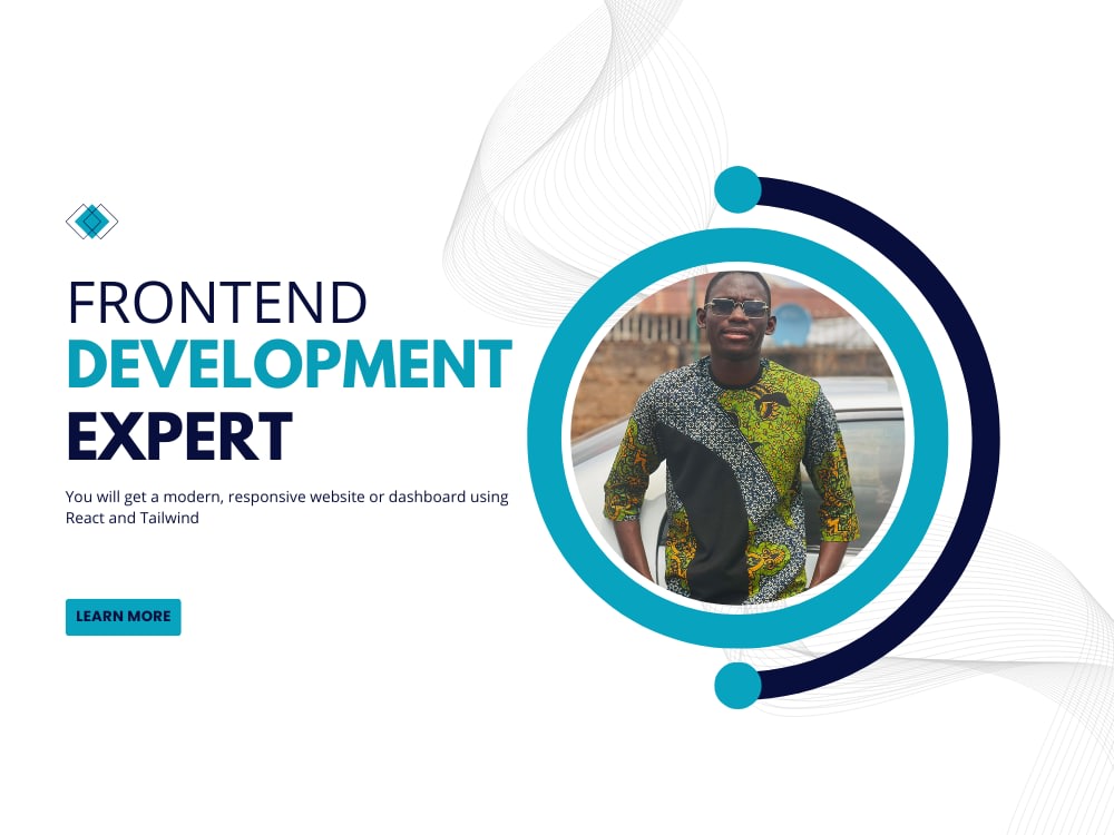
You will get a modern, responsive website or dashboard using React and Tailwind
Project details
You will receive a custom frontend web application developed using React.js and styled with Tailwind CSS or Bootstrap. Whether it's a landing page, admin dashboard, portfolio site, or e-commerce frontend, I’ll deliver fast, accessible, and mobile-friendly UI with clean, maintainable code.
What I Offer:
✅ Clean, Responsive UI (Mobile + Desktop)
✅ React.js + Tailwind or Bootstrap
✅ Form Handling + Validation
✅ API Integration
✅ SEO-friendly Static Pages
✅ Admin Dashboard Interfaces
✅ Authentication Screens (Login, Sign Up)
✅ Reusable Components
Platform
Web
Development Technology
React.js, Tailwind CSS, Bootstrap, HTML5, JavaScript
App Purpose
Portfolio, E-commerce Frontend, Dashboards, Blogs, SaaS Interfaces
Expertise
Design-to-Code
API Integration
Component Architecture
SPA Routing (React Router)
What I Offer:
✅ Clean, Responsive UI (Mobile + Desktop)
✅ React.js + Tailwind or Bootstrap
✅ Form Handling + Validation
✅ API Integration
✅ SEO-friendly Static Pages
✅ Admin Dashboard Interfaces
✅ Authentication Screens (Login, Sign Up)
✅ Reusable Components
Platform
Web
Development Technology
React.js, Tailwind CSS, Bootstrap, HTML5, JavaScript
App Purpose
Portfolio, E-commerce Frontend, Dashboards, Blogs, SaaS Interfaces
Expertise
Design-to-Code
API Integration
Component Architecture
SPA Routing (React Router)
Programming Languages
HTML & CSS, JavaScript, TypeScriptCoding Expertise
PSD to HTML, Performance Optimization, DesignWhat's included
| Service Tiers |
Starter
$400
|
Standard
$800
|
Advanced
$1,500
|
|---|---|---|---|
| Delivery Time | 14 days | 30 days | 60 days |
Number of Revisions | Unlimited | Unlimited | Unlimited |
Number of Pages | 1 | 5 | |
Design Customization | |||
Content Upload | - | ||
Responsive Design | |||
Source Code |
About Efeosa
Geospatial Engineer & Frontend Developer | GIS Analysis & Mapping
Benin City, Nigeria - 3:19 pm local time
My background is geomatics and spatial data first, frontend development second, and cartographic design is where the two meet. I care about hierarchy, restraint, and typography on a map as much as I care about the analysis underneath it. A map that's technically correct but ugly gets ignored by the people who actually need to act on it, whether that's a policymaker, an investor, or a general audience scrolling past on social media. A map that's both accurate and well designed gets shared, referenced, and remembered.
If your dashboard is slow, your data isn't translating into something legible, or your maps read like they were exported straight out of the software with no design pass, that's the problem I solve.
What I bring that most frontend developers, and most GIS analysts, do not:
I've built national-scale density maps, poster-quality river network cartography, real-time GNSS plotting, and Mapbox GL interfaces with custom WebGL layers, all with the same underlying principle: the visual should match what the data is actually doing, not just display it by default. That means understanding color theory, typographic hierarchy, negative space, and when to strip a map down rather than add to it, alongside the technical GIS and frontend skills to build and ship the thing.
Recent technical and design work:
Built a national density map of Nigeria's healthcare facilities using hexagonal binning in ArcGIS Pro, finished in Figma, designed to read cleanly at scale for a non-technical audience.
Designed a poster-style river network map of Edo State using the HydroRIVERS dataset, built around a restrained color and typographic system rather than an analytical goal.
Built a PWA for field surveyors: offline-capable, real-time GNSS visualization, dark-mode UI designed for outdoor tablet use. Client secured two pilot contracts with major land surveying firms post-launch.
Migrated a legacy site to Next.js App Router, hitting a 98/100 Lighthouse score with measurable lift in mobile conversion.
My stack: ArcGIS Pro, QGIS, Mapbox GL, Figma, Next.js, React, TypeScript, Tailwind CSS.
I write clean, documented code and design maps with the same care I give an interface. I work best with teams and organizations that need location intelligence or spatial content that actually reaches the people meant to see it, not just the GIS team.
Currently accepting new projects. If you need a map or a frontend that's both technically sound and genuinely good to look at, let's talk.
Steps for completing your project
After purchasing the project, send requirements so Efeosa can start the project.
Delivery time starts when Efeosa receives requirements from you.
Efeosa works on your project following the steps below.
Revisions may occur after the delivery date.
Requirement Collection
Get project type, preferred technology stack, design preferences, number of pages/components, and content.
Design or Wireframe (Optional)
If no design is provided, create a wireframe or UI layout. Revisions allowed based on package.