You will get an interactive web map with filters using Mapbox or Leaflet
Top Rated
Project details
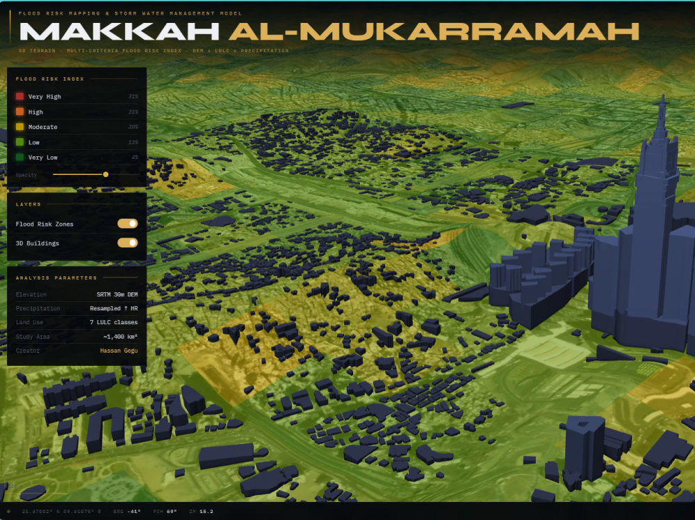
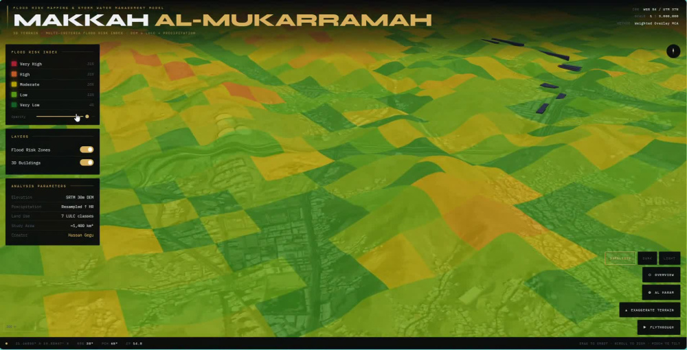
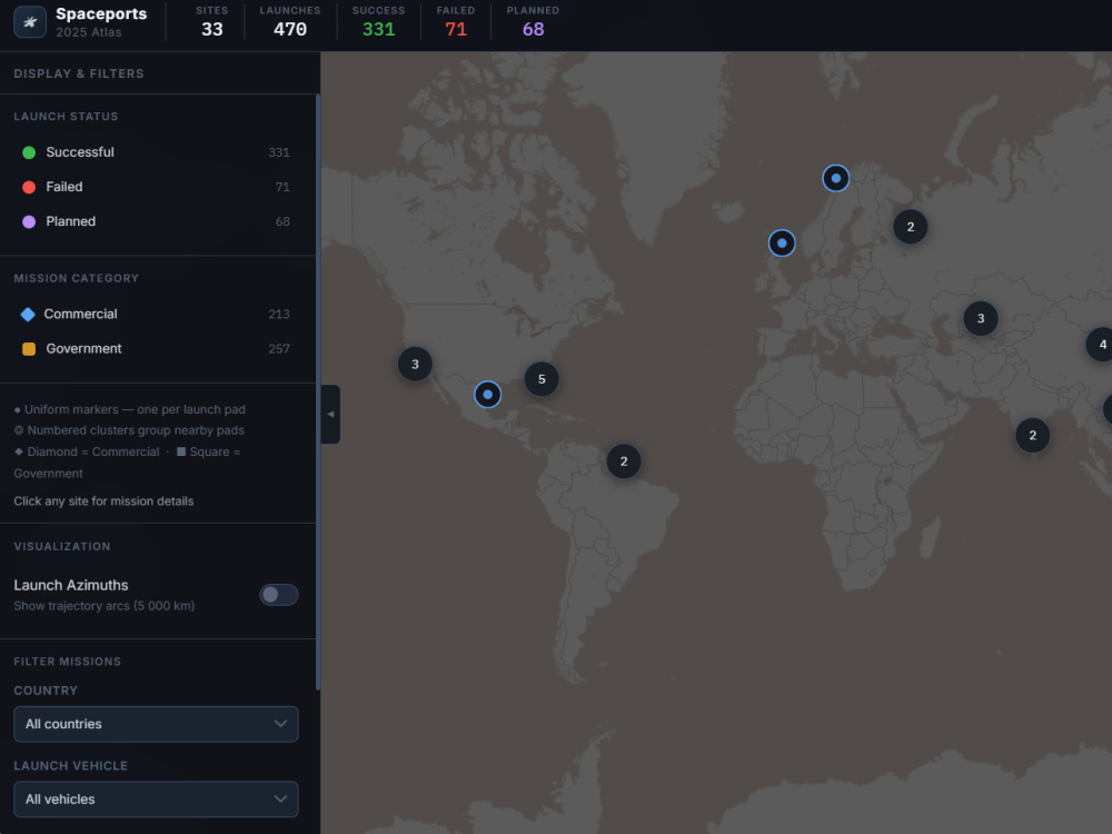
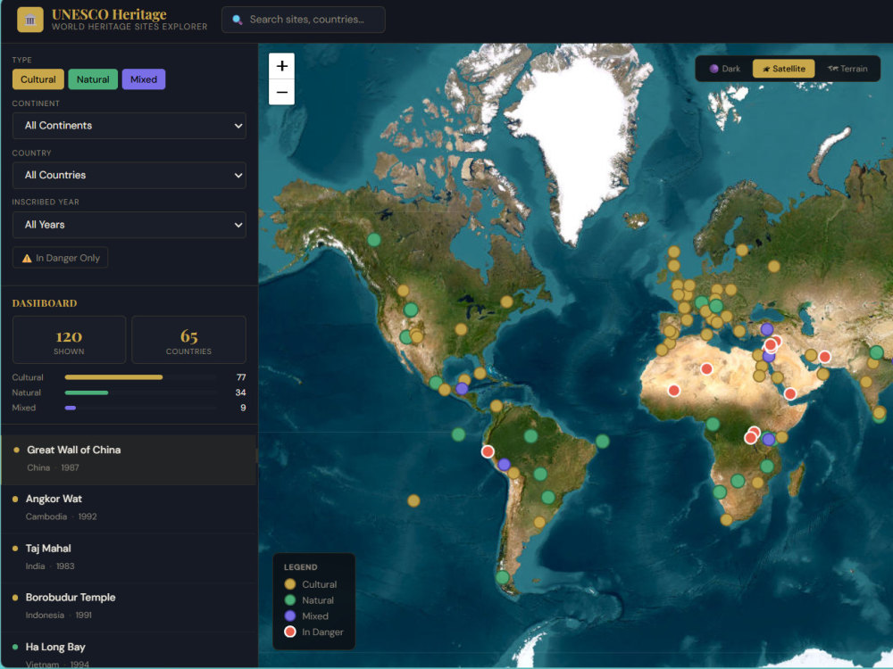
I build clean, modern interactive maps that are simple, fast, and easy to use.
Instead of overcomplicating things, I focus on clear layout, smooth interaction, and practical features like filtering, clustering, and search when needed.
I communicate clearly, keep the scope defined, and deliver maps that are ready to use for business websites, reports, or internal projects.
If you need a reliable, well-structured frontend web map built properly, I can help.
Instead of overcomplicating things, I focus on clear layout, smooth interaction, and practical features like filtering, clustering, and search when needed.
I communicate clearly, keep the scope defined, and deliver maps that are ready to use for business websites, reports, or internal projects.
If you need a reliable, well-structured frontend web map built properly, I can help.
Programming Languages
HTML & CSS, JavaScript, PythonCoding Expertise
Cross Browser & Device Compatibility, DesignWhat's included
| Service Tiers |
Starter
$25
|
Standard
$100
|
Advanced
$250
|
|---|---|---|---|
| Delivery Time | 3 days | 7 days | 14 days |
Number of Revisions | 1 | 2 | 3 |
Number of Pages | 1 | 2 | 3 |
Design Customization | |||
Content Upload | - | - | - |
Responsive Design | - | - | - |
Source Code |
5 reviews
(5)
(0)
(0)
(0)
(0)
This project doesn't have any reviews.
HG
Hanscomb G.
Jul 4, 2026
Specific Polygon Selection for a 1 time job QGIS
First time working with Hassan and I cannot recommend him enough. The communication was clear, fast and he made edits quickly when needed. Very competent and if I ever have another project like this I would not hesitate to work with him again. Thank you!
5 stars!
5 stars!
LS
Laura S.
May 15, 2026
GIS 3D Flood Model Map Creation
Excellent work, very responsive and worked to a tight deadline. Excellent would definitely rehire Hassan for future works.
ZA
Ziad A.
Jan 11, 2026
Setting Up Viewshed in QGIS
It was pleasure working with Hassan. He went above and beyond to support me. Highly recommend
TM
Tara M.
Oct 5, 2025
3D models from point cloud in revit
AS
Andrew S.
Sep 28, 2025
Vector Map Recreation
Great communication, very flexible and easy to deal with.
About Hassan
GIS Mapping & Spatial Analysis Expert | Web Maps & Adobe Illustrator
100%
Job Success
Abuja, Nigeria - 3:25 am local time
Whether you need a custom printable map, an interactive web map, GIS analysis, or help turning raw data into something easy to understand, I can help bring your ideas to life.
My work includes:
• Custom maps for print, events, running routes, tourism, wall art, and presentations
• Interactive Web GIS applications using Mapbox GL JS, Leaflet, and ArcGIS StoryMaps
• GIS analysis and spatial problem solving
• Hydrology and terrain analysis (flow direction, flow accumulation, watershed and flood risk analysis)
• Remote sensing, photogrammetry, and change detection projects
• Cartography and publication-ready map design using QGIS and Adobe Illustrator
• Visual presentations and map layouts using Canva
• Data processing from CSV, Shapefiles, GeoJSON, GPX, DWG, drone orthophotos, and point cloud datasets
I work with both technical and non-technical clients and focus on turning complex information into outputs that are accurate, clean, and easy to use. Whether you’re a researcher, organization, business owner, planner, surveyor, or someone with an idea for a map, I aim to provide practical solutions and a smooth experience from start to finish.
Not sure where to start? Send your data, screenshots, or even just your idea, and I can quickly suggest the best approach for your project.
Steps for completing your project
After purchasing the project, send requirements so Hassan can start the project.
Delivery time starts when Hassan receives requirements from you.
Hassan works on your project following the steps below.
Revisions may occur after the delivery date.
Data Review
Verify your data format and confirm required features
Map Setup
Build map layout and connect your location data