You will get a Web GIS map Application
Top Rated
Top Rated
Project details
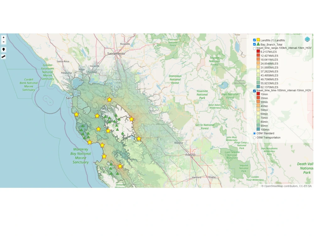
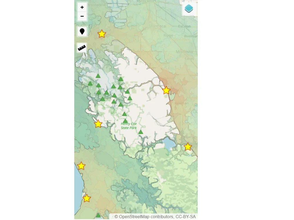
Web Interactive maps with deferent layers (Polygon , points, Lines) , the apps can show a pop up with information about each feauture.
The app is extensible to advanced functionalities such as :
- Send data to server.
- Spatial Analyze.
- Search.
The app is extensible to advanced functionalities such as :
- Send data to server.
- Spatial Analyze.
- Search.
Programming Languages
PHP, HTML & CSS, JavaScriptWhat's included
| Service Tiers |
Starter
$400
|
Standard
$600
|
Advanced
$1,000
|
|---|---|---|---|
| Delivery Time | 3 days | 6 days | 10 days |
Number of Revisions | Unlimited | Unlimited | Unlimited |
Number of Pages | 1 | 3 | 5 |
Design Customization | |||
Content Upload | - | - | |
Responsive Design | |||
Source Code |
Frequently asked questions
15 reviews
(15)
(0)
(0)
(0)
(0)
This project doesn't have any reviews.
CS
Chad S.
Apr 15, 2026
Relaunch gis utility site
KG
Khurt G.
Feb 10, 2024
30 minute consultation
FF
Freedom F.
Jul 31, 2023
Consult - JUly 11 2023
We hired Mostafa for a short project consult. It was a pleasure to speak with him. He was punctual, prepared, and detail oriented. Thanks Mostafa!
LM
Levi M.
Mar 23, 2023
60 minute consultation
Mostafa was awesome to work with.
KG
Khurt G.
Mar 22, 2023
30 minute consultation
About Mostafa
Senior Full Stack GIS Developer/Engineer
100%
Job Success
Kenitra, Morocco - 2:12 pm local time
Why Clients Choose Me
Web GIS development is my core expertise. I specialize in building custom mapping solutions, interactive GIS dashboards, location-based mobile apps, and full-stack geospatial platforms that are fast, scalable, and production-ready.
Whether you need a 2D web mapping application, an immersive 3D visualization platform, a cross-platform mobile GIS app, a fleet routing and logistics system, or a complete spatial data pipeline with automated workflows, I deliver end-to-end — from database design and API architecture to frontend and mobile deployment.
I don't just put pins on a map. I build complete GIS solutions with intuitive interfaces, high-performance backends, automated data orchestration, and clean workflows that hold up at scale.
Services I Offer
Custom web map development with Leaflet.js, OpenLayers, and Mapbox. Cross-platform mobile GIS applications using React Native. 3D geospatial visualization using CesiumJS and Potree for point cloud rendering. RESTful API design and development for geospatial services. Spatial database design and optimization with PostgreSQL and PostGIS. GIS dashboard development with real-time data integration. Automated geospatial data pipelines and ETL workflows using Apache Airflow. Route optimization and logistics platforms with custom constraint handling. Geodata processing using GDAL, OGR, and Python automation. GeoJSON, Shapefile, GeoTIFF, and LAS/LAZ data conversion and processing.
Technical Stack
Frontend and Mobile — ReactJS, React Native, JavaScript, Leaflet.js, OpenLayers, CesiumJS, Potree, Mapbox GL JS
Backend and APIs — Python, Django, Django REST Framework, PHP, Laravel, Node.js, RESTful API development, GraphQL
Data Orchestration — Apache Airflow, custom ETL pipelines, task scheduling and automation
Geospatial — PostGIS, GDAL/OGR, QGIS, PyQGIS, GeoServer, spatial indexing
Cloud and DevOps — AWS (EC2, RDS, S3), Docker, Linux server administration
Data Formats — GeoJSON, Shapefile, KML, GeoTIFF, LAS/LAZ, WMS/WFS
Ideal Projects
Interactive mapping platforms and GIS web portals. Location-based mobile applications with React Native. Spatial analytics dashboards with real-time data. RESTful and GraphQL API development for geospatial services. 3D terrain and point cloud viewers. Vehicle routing and delivery optimization tools. Automated geospatial data pipelines using Airflow. Geospatial data migration, cleaning, and processing at scale.
Let's Talk About Your Project
If you need a reliable GIS developer who understands geospatial science, full-stack web engineering, mobile development, and data pipeline automation, I'd welcome the chance to discuss your requirements and deliver a solution that works in the real world.
Steps for completing your project
After purchasing the project, send requirements so Mostafa can start the project.
Delivery time starts when Mostafa receives requirements from you.
Mostafa works on your project following the steps below.
Revisions may occur after the delivery date.
Transform spatial data to convenable format
In this step , we convert data to geojson or save it to postgresql data base (it depend on user preferences).
Developement of the apps with respect to client needs.
Developement the functionnalities required by the client using technologies such as : - PHP - JavaScript - HTML5/CSS - Bootstrap - Jquery