You will get a WebGIS to visualize & analyze, leading to better decision-making!
Project details
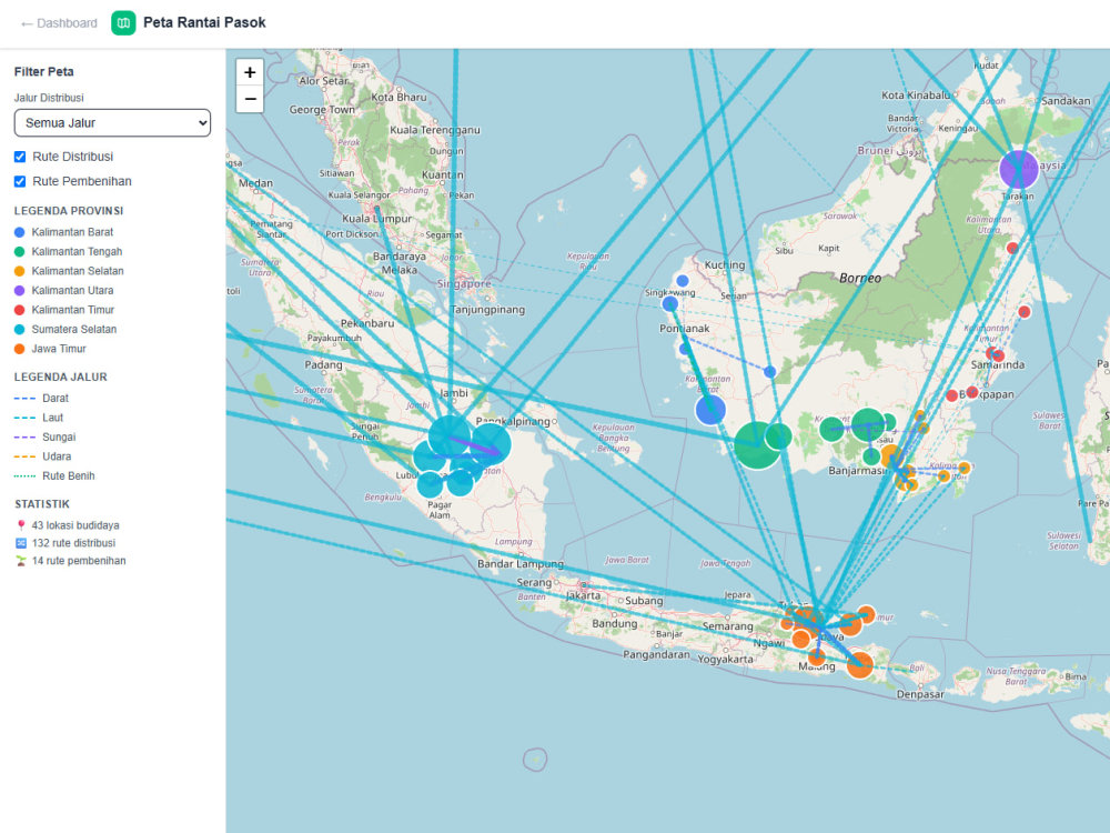
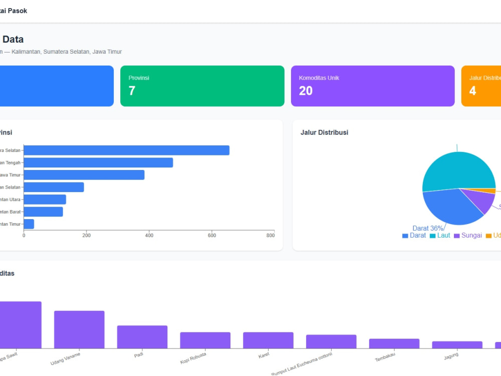
Looking for a professional interactive web map? I specialize in building static WebGIS applications that turn your spatial data into beautiful, interactive maps accessible from any browser.
What you'll get:
→ Interactive web map built with Leaflet/OpenLayers
→ Custom styled layers with informative popups
→ Legend, layer toggle, search, and zoom controls
→ Fully responsive design (desktop, tablet, mobile)
→ Fast loading with optimized GeoJSON/KML data
→ Clean, well-documented source code
I work with all common spatial formats: GeoJSON, Shapefile, KML, CSV with coordinates, and more. Whether it's for land use mapping, asset tracking, site planning, or data visualization — I deliver a polished, ready-to-deploy web map.
Tech stack: HTML/CSS/JS, Leaflet or OpenLayers, GeoJSON, responsive UI.
My process is simple: you share the data, I build the map, you review and request revisions. Clear communication and on-time delivery guaranteed.
Let's turn your data into a map people actually enjoy using.
What you'll get:
→ Interactive web map built with Leaflet/OpenLayers
→ Custom styled layers with informative popups
→ Legend, layer toggle, search, and zoom controls
→ Fully responsive design (desktop, tablet, mobile)
→ Fast loading with optimized GeoJSON/KML data
→ Clean, well-documented source code
I work with all common spatial formats: GeoJSON, Shapefile, KML, CSV with coordinates, and more. Whether it's for land use mapping, asset tracking, site planning, or data visualization — I deliver a polished, ready-to-deploy web map.
Tech stack: HTML/CSS/JS, Leaflet or OpenLayers, GeoJSON, responsive UI.
My process is simple: you share the data, I build the map, you review and request revisions. Clear communication and on-time delivery guaranteed.
Let's turn your data into a map people actually enjoy using.
Web Programming Project
API Development, API Integration, Data DashboardProgramming Languages
HTML & CSS, JavaScript, PythonWhat's included
| Service Tiers |
Starter
$400
|
Standard
$750
|
Advanced
$1,200
|
|---|---|---|---|
| Delivery Time | 14 days | 21 days | 30 days |
Number of Revisions | 2 | 3 | 5 |
Source Code |
Frequently asked questions
About Agung
WebGIS Developer & Spatial Analyst | Python, GIS, Remote Sensing
Depok, Indonesia - 7:41 pm local time
Some things I've built and delivered:
1. A geospatial portal (SIGI PUPR) used by government planners across Indonesia for regional infrastructure development, from identifying housing locations for poverty eradication programs to prioritizing construction in underserved areas
2. Fiber optic network mapping across 34 provinces to support Indonesia's One Map Policy, including BTS tower placement optimization using spatial analysis and coverage overlay
3. A real-time WebGIS platform integrating live data streams for monitoring critical water resource infrastructure
4. A Sentinel-2 remote sensing pipeline using Python to detect and classify shrimp ponds in Malaysia with spectral indices (NDWI, MNDWI, AWEIsh, WRI) to automating what would otherwise take weeks of manual digitization
5. Hydrogeologic modeling to design an optimal groundwater monitoring well network, projecting flow patterns, contamination probability, and cost-effective placement
My typical stack: Python (GeoPandas, GDAL, ArcPy), PostgreSQL/PostGIS, QGIS, ArcGIS Pro, Google Earth Engine, Leaflet.js, OpenLayers. I'm currently finishing my Master's in Information Technology at Universitas Indonesia, with research in NLP and topic modeling applied to disaster information.
What you can expect working with me: I flag problems early, document everything so your team can maintain it after handoff, and I communicate in clear English, no disappearing acts, no ambiguous deliverables. If something doesn't make sense in your data, I'll tell you before it becomes your problem.
Open to both short-term analysis tasks and longer-term WebGIS development projects.
Steps for completing your project
After purchasing the project, send requirements so Agung can start the project.
Delivery time starts when Agung receives requirements from you.
Agung works on your project following the steps below.
Revisions may occur after the delivery date.
Requirement Analysis & Database Design
Analyze all data requirements, design the PostGIS database schema, define API endpoints, and create a detailed project architecture plan.
Backend & Database Setup
Set up PostGIS database and configure GeoServer if needed for map tile serving.