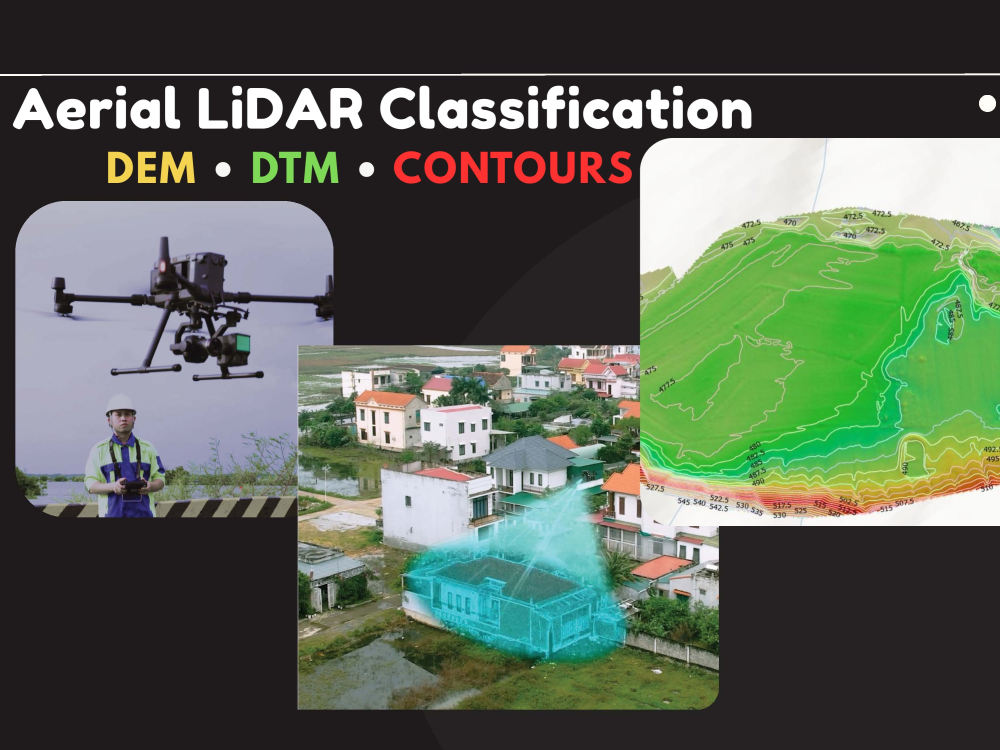
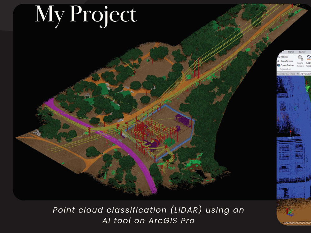
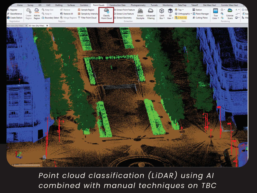
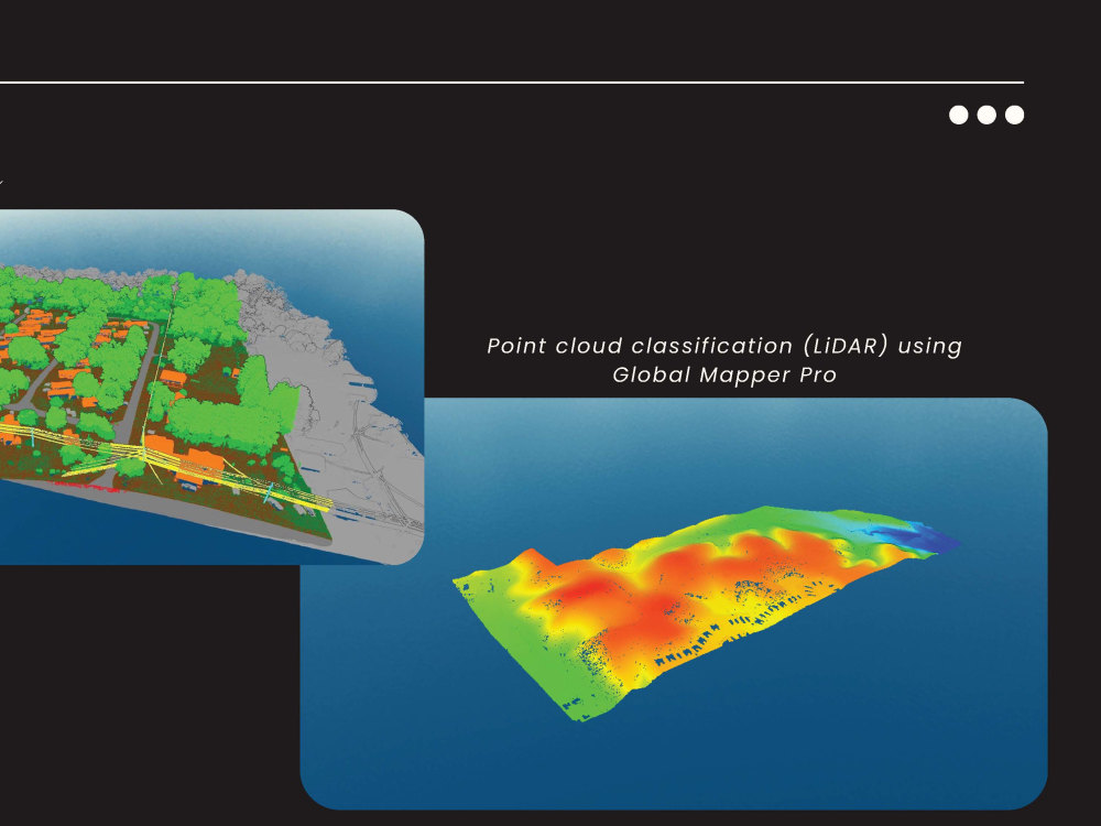
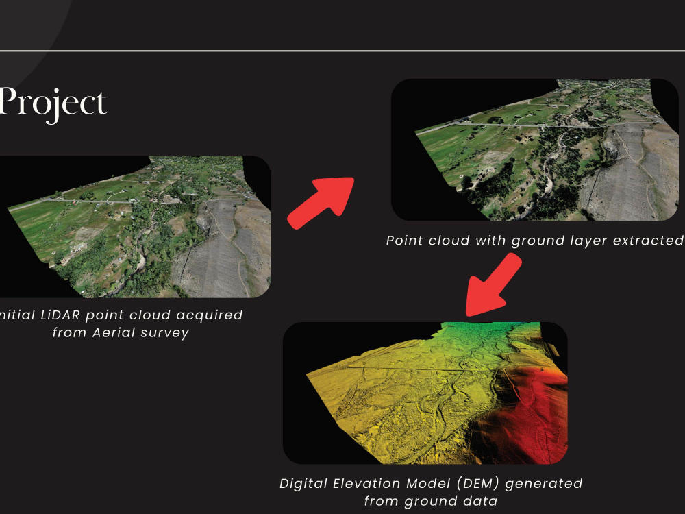
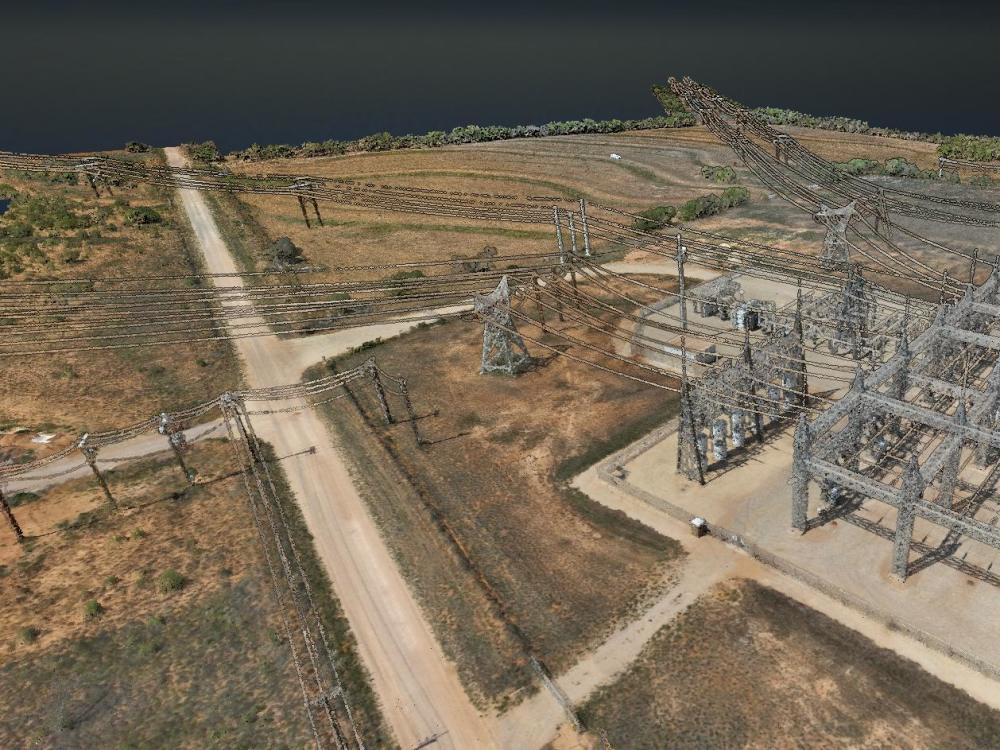
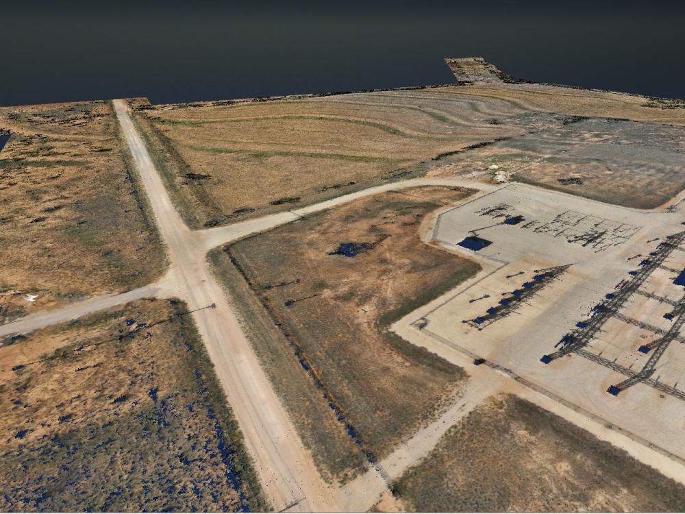
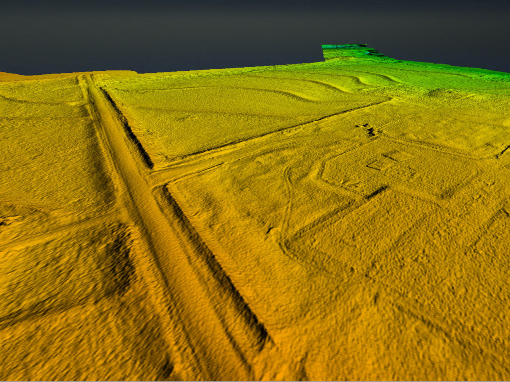
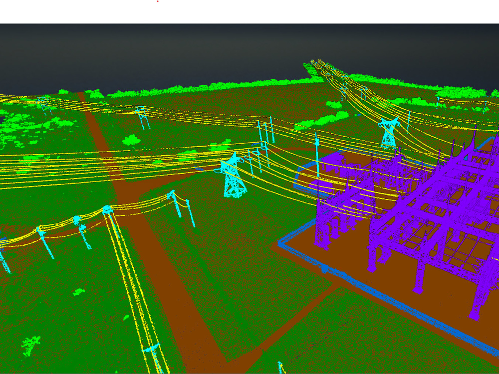
You will get aerial LiDAR point cloud classification, DTM, DEM and contour lines
Rising Talent
Rising Talent
Project details
You will be working with a LiDAR specialist who understands the full workflow, from field data acquisition to professional processing and analysis.
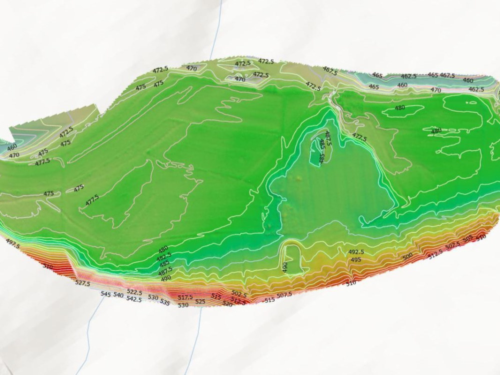
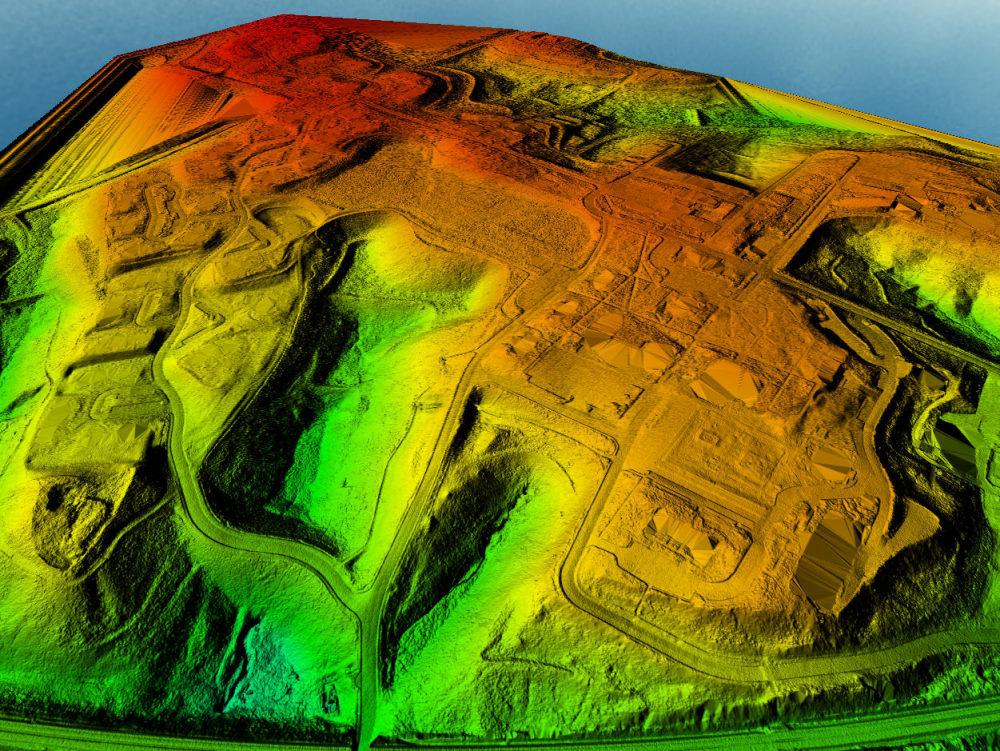
I have completed over 1,000 LiDAR classification and terrain modeling projects on Upwork, including aerial LiDAR and mobile mapping datasets, with more than 6,000 hours of hands-on experience. My expertise focuses on accurate ground / non-ground classification, DEM, DTM, and contour line generation for surveying, engineering, and infrastructure projects.
In addition to data processing, I am an experienced UAV pilot, directly operating professional LiDAR and photogrammetry platforms such as DJI Matrice 300 RTK, Matrice 350 RTK with Zenmuse L1/L2, Matrice 3E/4E/3T, Phantom 4 RTK, Stormbee UAV S20 with FARO scanner, and senseFly eBee Plus. This field experience allows me to fully understand data quality, sensor limitations, and real survey conditions.
Clients choose me for clean and reliable deliverables, strict quality control, fast turnaround, and clear technical communication. My goal is to deliver accurate, optimized LiDAR products ready for immediate use in CAD, GIS, and engineering workflows.
I would be glad to support your project.
I have completed over 1,000 LiDAR classification and terrain modeling projects on Upwork, including aerial LiDAR and mobile mapping datasets, with more than 6,000 hours of hands-on experience. My expertise focuses on accurate ground / non-ground classification, DEM, DTM, and contour line generation for surveying, engineering, and infrastructure projects.
In addition to data processing, I am an experienced UAV pilot, directly operating professional LiDAR and photogrammetry platforms such as DJI Matrice 300 RTK, Matrice 350 RTK with Zenmuse L1/L2, Matrice 3E/4E/3T, Phantom 4 RTK, Stormbee UAV S20 with FARO scanner, and senseFly eBee Plus. This field experience allows me to fully understand data quality, sensor limitations, and real survey conditions.
Clients choose me for clean and reliable deliverables, strict quality control, fast turnaround, and clear technical communication. My goal is to deliver accurate, optimized LiDAR products ready for immediate use in CAD, GIS, and engineering workflows.
I would be glad to support your project.
Data Tool
ArcGISWhat's included
| Service Tiers |
Starter
$50
|
Standard
$100
|
Advanced
$200
|
|---|---|---|---|
| Delivery Time | 1 day | 2 days | 3 days |
Number of Revisions | 1 | 2 | 3 |
Model Documentation | - | - | - |
Data Source Connectivity | - | ||
Model Validation/Testing | - | - | - |
Optional add-ons
You can add these on the next page.
Additional Revision
+$10
Data Source Connectivity
(+ 1 Day)
+$50About Le
Photogrammetry | LiDAR | 3D Laser Scanning | GIS | Geomatics Expert
Tay Ninh, Vietnam - 12:55 pm local time
✅Over 8000 hours on Upwork
✅100% Job Success
✅High Quality and Reliable Service
✅Extensive Experience with Complex Projects
✅Commitment to Timely Project Completion
✅Dedicated and Professional Customer Service
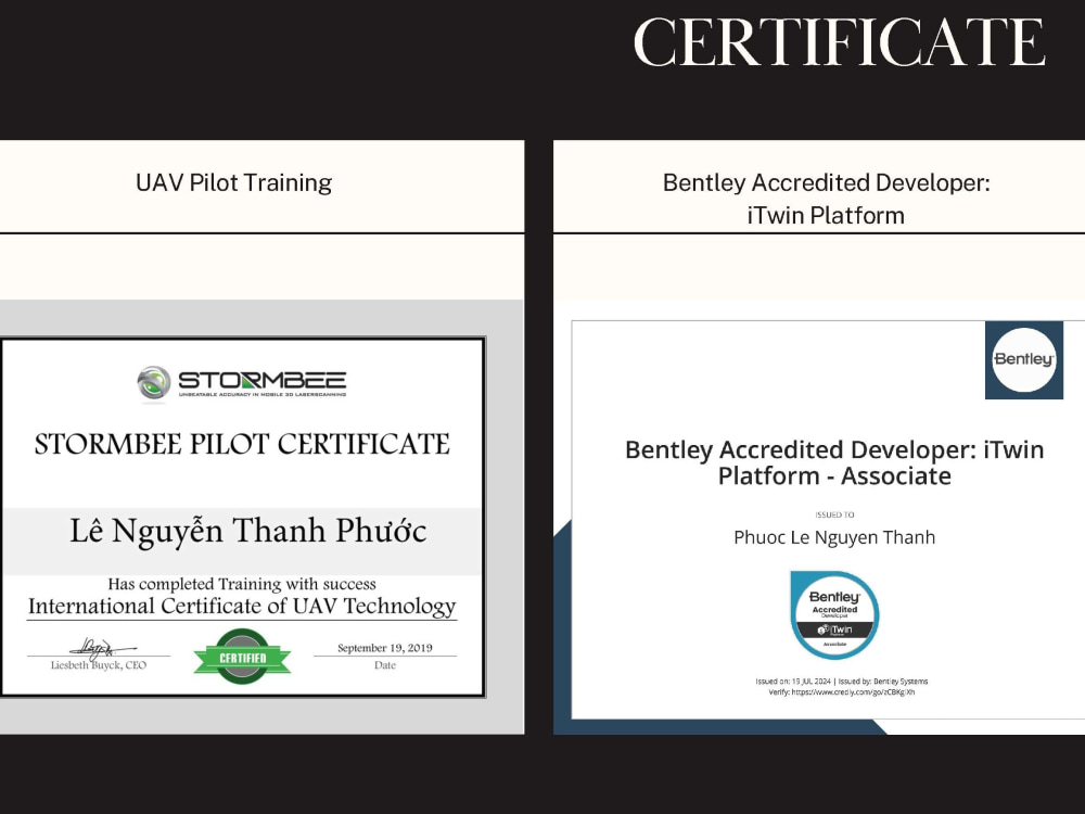
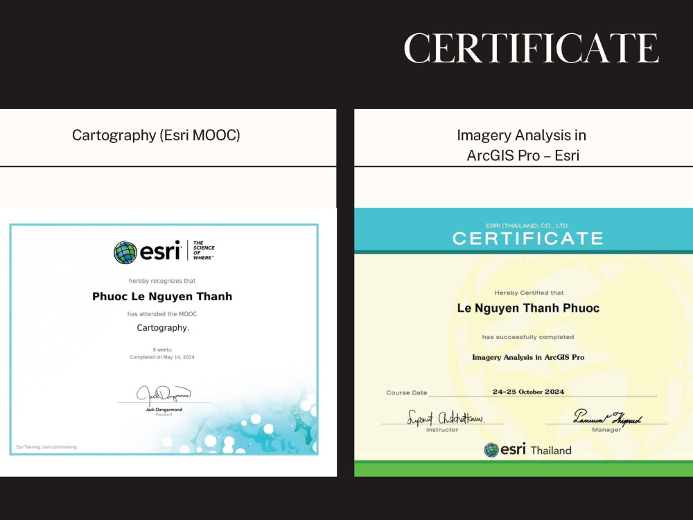
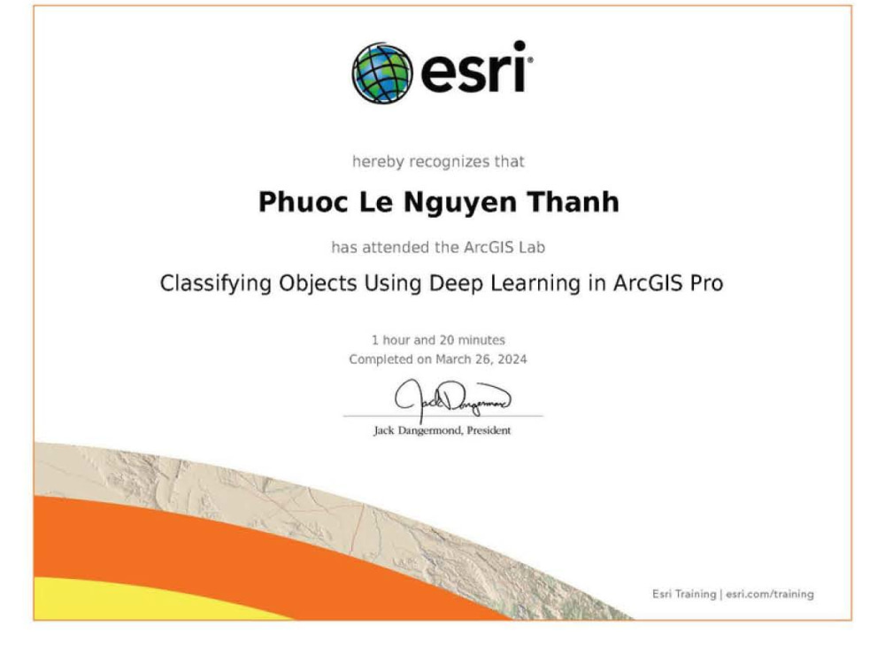
✅Possess professional certifications
Hello, I'm a geomatics engineer with over 10 years of experience in the fields of Scan-to-BIM, UAV, GIS, surveying, and mapping. I specialize in digitizing construction projects, architectural projects, factories, industrial parks, bridges, roads, hydroelectric plants, and other complex terrains. I have completed specialized training courses and obtained certifications from renowned companies such as Trimble, Leica and Faro.
I am proficient in using various 3D laser scanning devices like Leica, Trimble, Faro and UAVs such as DJI Matrice 300 RTK, Phantom 4 RTK, and the Mavic Series. With experience handling hundreds of projects worldwide, I utilize specialized software to ensure high accuracy and fast processing times. This includes processing data from 3D laser scanners such as Leica Cyclone Register, Faro Scene, Trimble Business Center. The data is cleaned of noise points and exported to common 3D formats like E57, PTS, PTX, XYZ, RCP, LAS, LAZ, or high-resolution panoramic images.
Additionally, I use software like PIX4DMapper, Agisoft Metashape, and DJI Terra to process image data and point clouds (LiDAR) to create high-quality 3D models according to client requirements. My top priority is to deliver high-quality products, focusing on maximizing customer satisfaction within the shortest possible time.
If you have any questions or want to discuss optimizing your project, I am always ready to listen and assist you. Don't hesitate to contact me. If you're interested, please place an order now so that we can start collaborating and bring success to your project. For me, integrity is always paramount.
✅ My services include, but are not limited to, the following:
💥Photogrammetry including; Drone Image Processing, Point Cloud Segmentation Orthomosaic/Orthophotos, and Digital Elevation (DEM)/Terrain(DTM)/Surface (DSM) Models
💥LiDAR point cloud processing, remote sensing & 3D mapping
💥Processing data from 3D laser scanners (Trimble, Leica, Topcon, Faro, etc...) and converting point clouds to other platforms
💥Point cloud data classification from LiDAR and terrestrial 3D scanners
💥Denoising and cleaning excessive points in point cloud data for improved accuracy
💥Creating 3D mesh models from point cloud data of LiDAR equipment (UAV, Mobile Mapping) and terrestrial laser scans, processing billions of points quickly with high detail and realistic color
💥Creating 3D mesh models by combining terrestrial laser scans with UAV images
💥GIS Data Analysis
✅ Below is some of the main software in use
🧰AutoDesk AutoCAD
🧰AutoDesk Civil 3D
🧰Blue Marble Global Mapper Pro (GIS Data Analysis)
🧰AutoDesk (ReCap) Reality Capture Pro
🧰DJI Terra/Agisoft Metashapes/Epic Games Reality Capture/Bently iTwin Capture Modeler/ (Photogrammetry)
🧰Leica Cyclone Register/Trimble Business Center/Faro Scene/Topcon MAGNET (Comprehensive point cloud and survey data processing, registration, and management)
🧰Data Analysis in ArcGIS Pro (Spatial Analysis/Geostatistical Analysis/Network Analysis/Surface Analysis/Raster Analysis/3D Analysis)
🧰Leica Cyclone 3DR/Trimble Business Center( 3D point cloud processing and analysis)
🧰Applanix POSPac (GNSS post processing)
Steps for completing your project
After purchasing the project, send requirements so Le can start the project.
Delivery time starts when Le receives requirements from you.
Le works on your project following the steps below.
Revisions may occur after the delivery date.
Data review and project setup
Review LiDAR datasets, check coordinate system, point density, coverage, and project requirements. Set up the processing environment and define classification rules based on terrain and land cover.
Point cloud classification
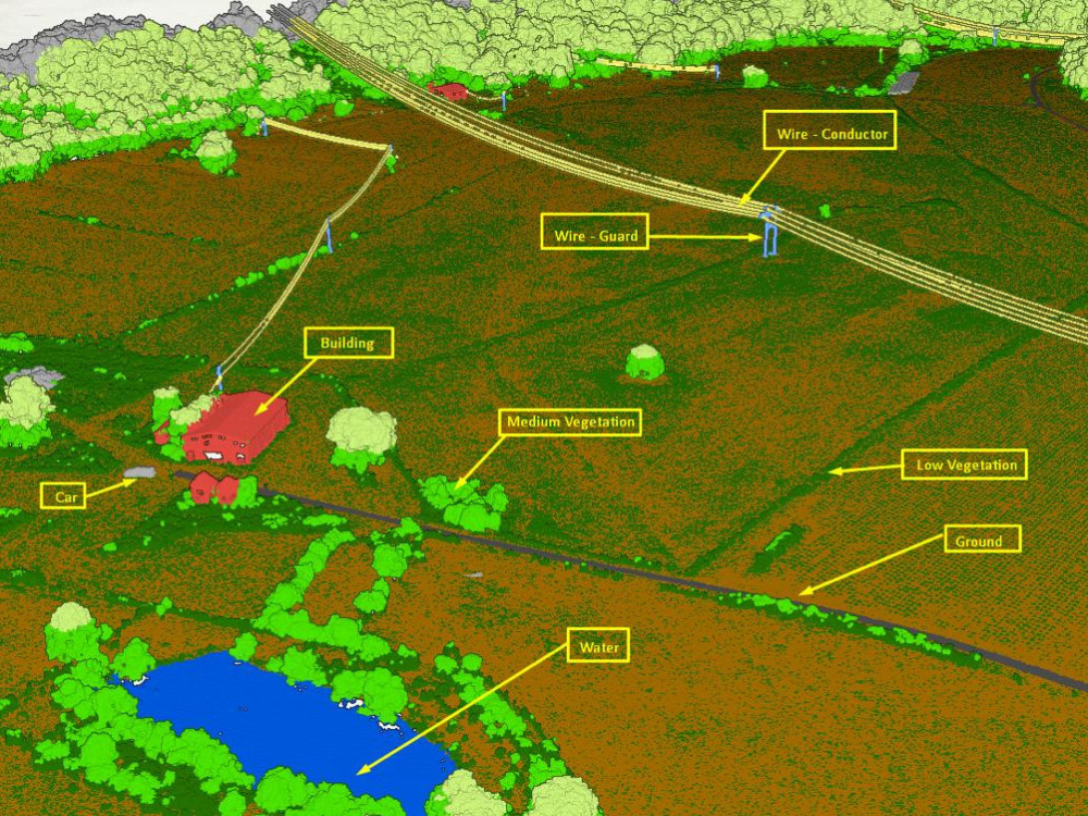
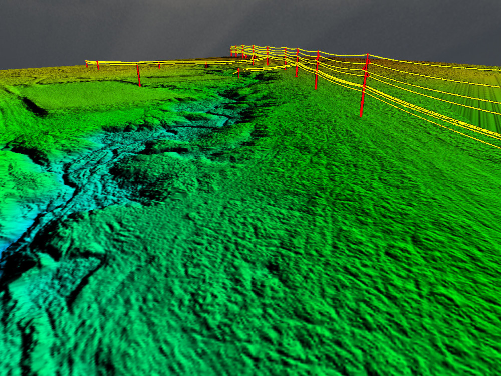
Classify LiDAR points into ground and non-ground classes. For advanced projects, additional classes such as vegetation, buildings, power lines, and poles will be extracted according to scope.