You will get Any map, gis task you need on ArcGIS or Google Earth Pro
Project details
I am a professional geologist with over 4 years of experience in mapping using ArcGIS, Google Earth pro.
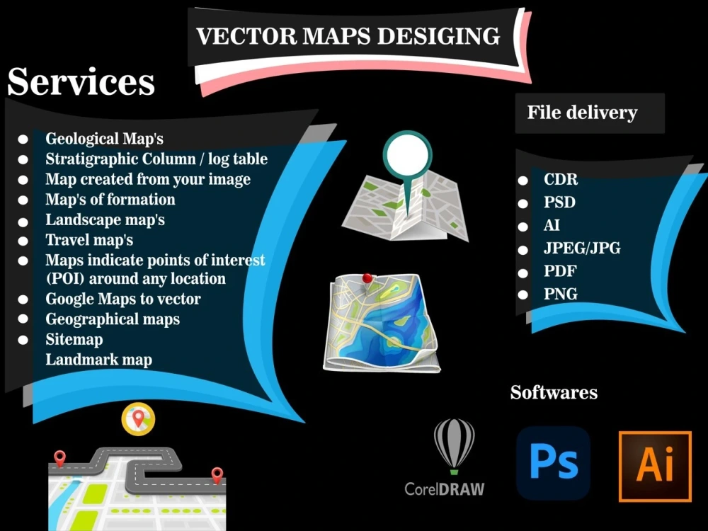
I offer the following
Services:
Topographic Map
Create Maps from Google Earth
Shapefile, Feature Class, Geodatabase, kml etc
Digitization of Point, Lines and Polygon in Vector format.
Analyze spatial and non-spatial information.
Standardize geographic data.
Research and conduct tests on new research tools.
Perform geospatial modeling and spatial analysis.
Review GIS data for accuracy
Spatial Analysis
Georeferencing
Coordinate System
Design digital maps
Geological map design and layout
Legend and key design
And more!
Delivery File format:
ShapeFile
KML
Geodatabase
JPG/JPEG
PDF
PNG
TIFF
SVG
I am excited about collaborating with you to develop exceptional geological maps that cater to your requirements and surpass your anticipations!
I offer the following
Services:
Topographic Map
Create Maps from Google Earth
Shapefile, Feature Class, Geodatabase, kml etc
Digitization of Point, Lines and Polygon in Vector format.
Analyze spatial and non-spatial information.
Standardize geographic data.
Research and conduct tests on new research tools.
Perform geospatial modeling and spatial analysis.
Review GIS data for accuracy
Spatial Analysis
Georeferencing
Coordinate System
Design digital maps
Geological map design and layout
Legend and key design
And more!
Delivery File format:
ShapeFile
KML
Geodatabase
JPG/JPEG
PNG
TIFF
SVG
I am excited about collaborating with you to develop exceptional geological maps that cater to your requirements and surpass your anticipations!
Data Tool
ArcGISWhat's included
| Service Tiers |
Starter
$10
|
Standard
$20
|
Advanced
$40
|
|---|---|---|---|
| Delivery Time | 1 day | 2 days | 3 days |
Number of Revisions | 1 | 2 | 4 |
Source Code | - |
Optional add-ons
You can add these on the next page.
Fast Delivery
+$10 - $20About Waseem
GIS and Remote Sensing Expert | Map Maker | Data Analysis
Mardan, Pakistan - 7:19 am local time
Key Skills:
ArcGIS or ArcGIS Pro
QGIS
Erdas Imagine
Envi
Google Earth
Data Visualization
Adobe Illustrator
Adobe Photoshop
CorelDRAW
Origilab
Steps for completing your project
After purchasing the project, send requirements so Waseem can start the project.
Delivery time starts when Waseem receives requirements from you.
Waseem works on your project following the steps below.
Revisions may occur after the delivery date.
Check projects and analyze client requirements.
In this step, I will check your project in detail what is your requirement for the project I will analyze it carefully for better output.