You will get Basic GIS Support: Digitizing & Georeferencing
Project details
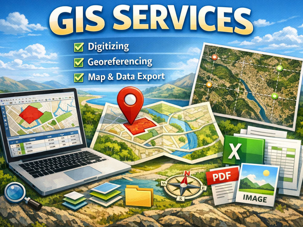
I offer basic GIS services including small‑area digitizing, simple georeferencing, clean attribute tables, and organized file exports (Shapefile, GeoPackage, Excel/CSV, and optional map images). These packages are designed as a clear starting point for common GIS needs, but I’m flexible and open to adapting the workflow based on your project.
If you need clarifications, want to see examples of my previous work, or would like to discuss a different type of GIS or data‑related task, feel free to contact me. I’m always available to understand your needs better and explore custom solutions together.
If you need clarifications, want to see examples of my previous work, or would like to discuss a different type of GIS or data‑related task, feel free to contact me. I’m always available to understand your needs better and explore custom solutions together.
Data Tool
ArcGISWhat's included
| Service Tiers |
Starter
$12
|
Standard
$20
|
Advanced
$30
|
|---|---|---|---|
| Delivery Time | 3 days | 4 days | 5 days |
Number of Revisions | 0 | 1 | 2 |
Optional add-ons
You can add these on the next page.
Additional Revision
+$5
Excel/CSV Data Export
+$5
Simple Map Export (PNG/PDF)
+$7About Amalia Cristiana
Junior Geologist | GIS Specialist | Italian & Romanian Support
Assemini, Italy - 6:40 pm local time
Steps for completing your project
After purchasing the project, send requirements so Amalia Cristiana can start the project.
Delivery time starts when Amalia Cristiana receives requirements from you.
Amalia Cristiana works on your project following the steps below.
Revisions may occur after the delivery date.
Receive your map or image
You send me the map, image, screenshot, or photo you want me to work on. I confirm what needs to be digitized or georeferenced.
Digitizing and data preparation
I digitize the requested area (points, lines, or polygons) and prepare the attribute table with clean, organized fields.