You will get custom AI object detection, computer vision & Python automation
Project details
You will get a working computer vision or AI automation solution built in Python — not just code, but a documented, tested deliverable ready to run on your data.
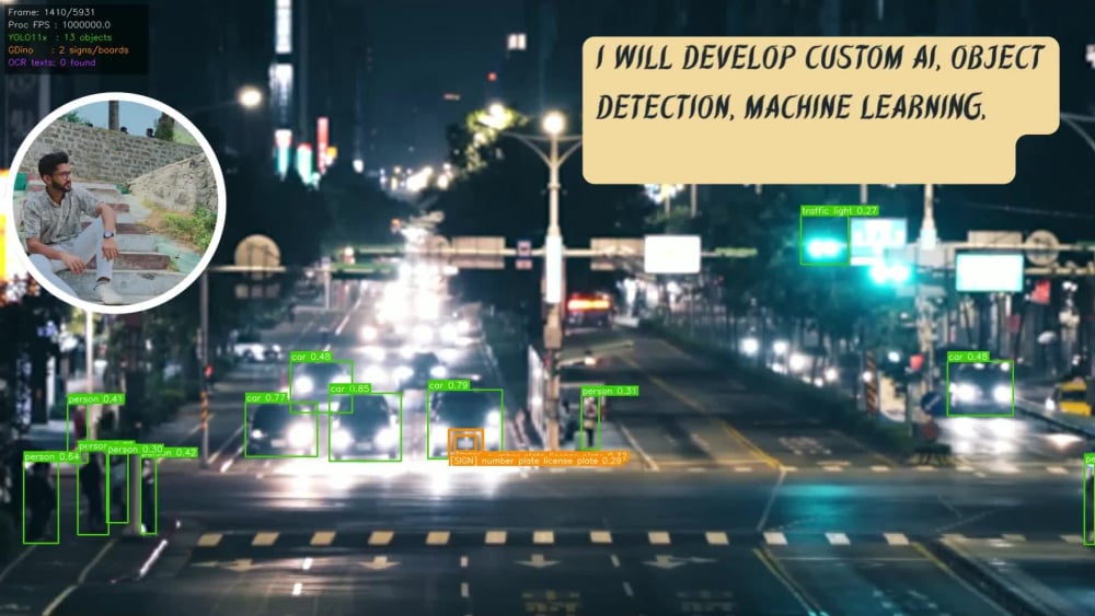
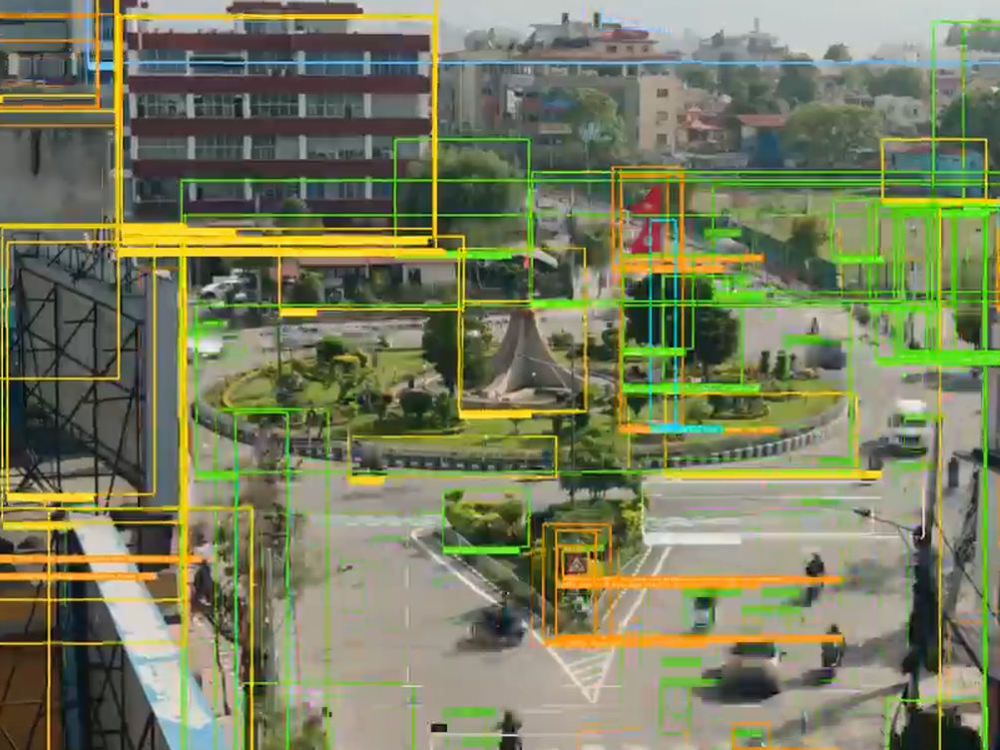
I build custom object detection and recognition systems using YOLO11, Grounding DINO, and OCR pipelines — detecting, tracking, and counting objects in images and video in real time. My solutions include annotated outputs, performance metrics, and clean, commented code.
What I can build for you:
• Object detection & tracking (vehicles, people, products, defects)
• Custom model training on your own dataset
• OCR and text extraction from video/images
• Real-time video analytics with FPS-optimized pipelines
• Python automation for data processing workflows
You'll receive the full source code, requirements file, usage instructions, and a demo run on your data. Message me with your use case — I'll tell you honestly what's achievable before you order.
I build custom object detection and recognition systems using YOLO11, Grounding DINO, and OCR pipelines — detecting, tracking, and counting objects in images and video in real time. My solutions include annotated outputs, performance metrics, and clean, commented code.
What I can build for you:
• Object detection & tracking (vehicles, people, products, defects)
• Custom model training on your own dataset
• OCR and text extraction from video/images
• Real-time video analytics with FPS-optimized pipelines
• Python automation for data processing workflows
You'll receive the full source code, requirements file, usage instructions, and a demo run on your data. Message me with your use case — I'll tell you honestly what's achievable before you order.
Machine Learning Tools
ArcGIS, Deeplearning4j, Google AutoML, Google Data Studio, MLflow, NumPy, Open Neural Network Exchange, OpenCV, pandas, Python, Python Scikit-Learn, PyTorch, R, SAS, scikit-learn, SciPy, Scrapy, SQL, TensorFlowWhat's included
| Service Tiers |
Starter
$100
|
Standard
$200
|
Advanced
$500
|
|---|---|---|---|
| Delivery Time | 5 days | 10 days | 15 days |
Number of Revisions | 1 | 2 | 4 |
Number of Model Variations | 0 | 0 | 1 |
Number of Scenarios | 0 | 1 | 1 |
Number of Graphs/Charts | 0 | 1 | 2 |
Model Validation/Testing | - | - | |
Model Documentation | - | - | |
Data Source Connectivity | - | - | |
Source Code | - | - |
About Ghulam
GIS & Remote Sensing Analysis & work
Khushab, Pakistan - 5:12 pm local time
Steps for completing your project
After purchasing the project, send requirements so Ghulam can start the project.
Delivery time starts when Ghulam receives requirements from you.
Ghulam works on your project following the steps below.
Revisions may occur after the delivery date.
What do you deliver?
Python source code, trained weights (if custom), annotated output samples, and setup instructions.