You will get Custom Interactive MapboxGL map
Top Rated

Project details
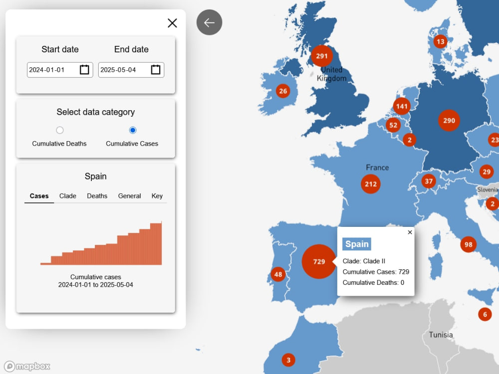
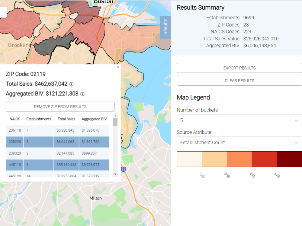
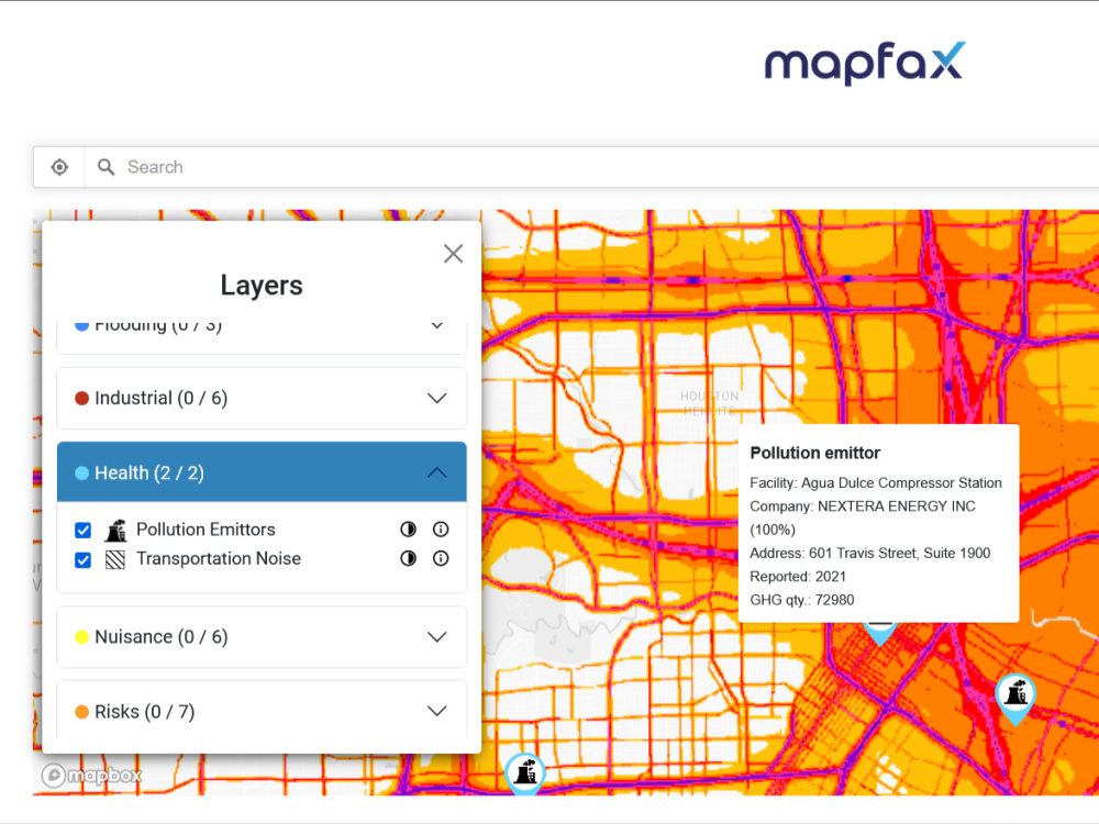
You'll get a custom map-based application using the Mapbox GL library, developed by an expert with 10+ years of experience in the GIS- and web mapping industry. I deeply care about the quality of the code I let go, and also about the user experience that my application provides. Therefore you should not just expect a great project experience working with me, but also a maximal return on your investment.
What's included $750
These options are included with the project scope.
$750
- Delivery Time 7 days
- Number of Revisions 2
- Number of Pages 1
- Design Customization
- Content Upload
- Responsive Design
- Source Code
Optional add-ons
You can add these on the next page.
Fast 3 Days Delivery
+$500
Additional Revision
+$80
3rd party API Integration
(+ 2 Days)
+$500
GIS data preparation and integration
(+ 2 Days)
+$500
Cloud setup
(+ 1 Day)
+$500
89 reviews
(81)
(6)
(0)
(2)
(0)
IT
Ivan T.
Dec 23, 2022
SL
Sarah L.
Jul 1, 2026
Create a quick google maps / mapbox map
Tamas is a wonderful creator, an asset to Upwork! Will definitely hire him again, he's very well versed with Mapbox and Google maps!
JG
Jason G.
Apr 9, 2026
30 minute consultation
I wish I would’ve found Tamas 5 months sooner. He was more than willing to jump right in and help with a solution just in a 30 min consultation. You can tell just by talking to him he is very knowledgeable and is eager to help!
CS
Charles S.
Mar 11, 2026
Seeking Mapbox expert to add maps to WordPress site
TM
Tonko M.
Feb 18, 2026
Interactive World Map Website with Area Purchase, Image Upload & Payments (MVP)
Tamas is a highly skilled and professional developer. He communicates clearly, works in a structured and transparent way, and delivers high-quality results. I was especially impressed by his technical expertise and integrity throughout the project. I would confidently recommend him to anyone looking for a reliable and capable developer.
JD
Jamie D.
Dec 10, 2025
Massage directory connect
As always it was a pleasure working with Tamas, he makes things easy and beautiful :)
About Tamas
Mapbox GL JS Developer | 300+ Projects | Interactive Maps & SaaS
100%
Job Success
Budakeszi, Hungary - 11:44 am local time
What I do
• Interactive maps: Mapbox GL/Maplibre, OpenLayers, Leaflet or Google Maps API, ArcGIS Online
• Map styles: Mapbox Studio
• Data visualizations: HighCharts, Recharts, D3.js, Uber H3, GIS dashboards
• Locators: Either a standalone- or Shopify/Webflow based locator application
• GIS & spatial analysis: QGIS, PostGIS, GDAL/OGR
• Full stack development: React, Next.js, TailwindCSS and REST API creation/integration using Node.js/Express or Python
• Cloud based operations: Docker, AWS, DigitalOcean
How I work
Following an initial discussion of your use case, requirements and input data, I come up with a proposal for the project duration, costs and milestones as well as the architecture.
Throughout the project, I provide regular status updates and short feature demonstrations.
If you need an interactive map, a custom web application, a geospatial dashboard or a data visualization send me a message and let's discuss your project.
Steps for completing your project
After purchasing the project, send requirements so Tamas can start the project.
Delivery time starts when Tamas receives requirements from you.
Tamas works on your project following the steps below.
Revisions may occur after the delivery date.
Tamas reviews the scope and if necessary, adjusts the budget
More complicated-, or time-sensitive projects may require Tamas to adjust the budget.
Client and Tamas agree on the project terms
After working out a mutually acceptable timeframe and budget, the Client and Tamas engage on the project.