You will get Geospatial Solutions which includes Data analysis , Data Visualization
Project details
Optimizing Spatial Data for Enhanced Decision-Making
Objective:
The project aims to develop a Geographic Information System (GIS) solution to analyze, visualize, and manage spatial data efficiently. This will support data-driven decision-making, improve resource allocation, and enhance geographic insights for the client.
Scope of Work:
Data Collection & Processing:
Gather spatial data from various sources (satellite imagery, GPS, surveys, and existing datasets).
Clean, preprocess, and standardize geospatial data for analysis.
GIS Mapping & Visualization:
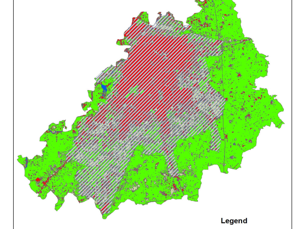
Develop detailed digital maps with relevant spatial layers.
Use GIS software (e.g., ArcGIS, QGIS) to create interactive maps.
Spatial Analysis & Insights:
Perform geospatial analysis (e.g., proximity analysis, terrain modeling, heat maps).
Identify patterns, trends, and correlations for better decision-making.
Database Development & Integration:
Store and manage geospatial data using databases (e.g., PostgreSQL/PostGIS).
Ensure compatibility with existing systems and workflows.
Deliverables:
Custom GIS maps and analytical reports.
Interactive dashboards (if required).
Final GIS database with structured spatial data.
Objective:
The project aims to develop a Geographic Information System (GIS) solution to analyze, visualize, and manage spatial data efficiently. This will support data-driven decision-making, improve resource allocation, and enhance geographic insights for the client.
Scope of Work:
Data Collection & Processing:
Gather spatial data from various sources (satellite imagery, GPS, surveys, and existing datasets).
Clean, preprocess, and standardize geospatial data for analysis.
GIS Mapping & Visualization:
Develop detailed digital maps with relevant spatial layers.
Use GIS software (e.g., ArcGIS, QGIS) to create interactive maps.
Spatial Analysis & Insights:
Perform geospatial analysis (e.g., proximity analysis, terrain modeling, heat maps).
Identify patterns, trends, and correlations for better decision-making.
Database Development & Integration:
Store and manage geospatial data using databases (e.g., PostgreSQL/PostGIS).
Ensure compatibility with existing systems and workflows.
Deliverables:
Custom GIS maps and analytical reports.
Interactive dashboards (if required).
Final GIS database with structured spatial data.
Data Tool
ArcGISWhat's included
| Service Tiers |
Starter
$50
|
Standard
$70
|
Advanced
$80
|
|---|---|---|---|
| Delivery Time | 1 day | 2 days | 4 days |
Number of Revisions | 1 | 1 | 2 |
Number of Graphs/Charts | 1 | 2 | 3 |
Number of Variations | 1 | 2 | 3 |
Data Source Connectivity | |||
Web Embedding | - | - | |
Interactive/Animated Visuals | - | - | - |
About Khurram
GIS Specialist and Guest blogging Expert
Abu Dhabi, United Arab Emirates - 12:07 am local time
I have done different projects in Pakistan and UAE and perform different responsibilities like:
• Assist in Design, Implementation and Maintenance of Geographic information System.
• Maintains GIS Layers, Databases and other Cartographic Data.
• Assist in Converting GIS Spatial data in to other formats
Steps for completing your project
After purchasing the project, send requirements so Khurram can start the project.
Delivery time starts when Khurram receives requirements from you.
Khurram works on your project following the steps below.
Revisions may occur after the delivery date.
Requirement Gathering & Planning
Select GIS Tools & Technologies – Choose software (ArcGIS, QGIS, PostGIS, etc.) and methodologies.
Database Development
Set up geospatial databases (e.g., PostgreSQL/PostGIS) for storage.