You will get GIS Mapping and Spatial Visualization Services
Project details
I have 8 years experience in Geographic Information System, Remote Sensing, Cartography and Digital Image Processing. I Provide the following Services
1. Image classification
2. Network maps(Route Maps and Services Maps)
3. Spatio-Temporal Analysis(change detection)
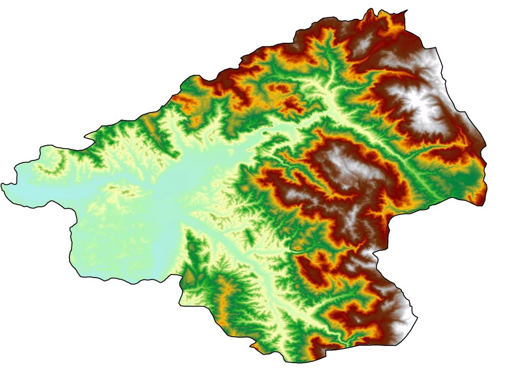
4. Making 3D Maps
5. Vector/Raster Maps
6. Interpolation (idw,kriging)
7. Digitization
8. Georeferencing
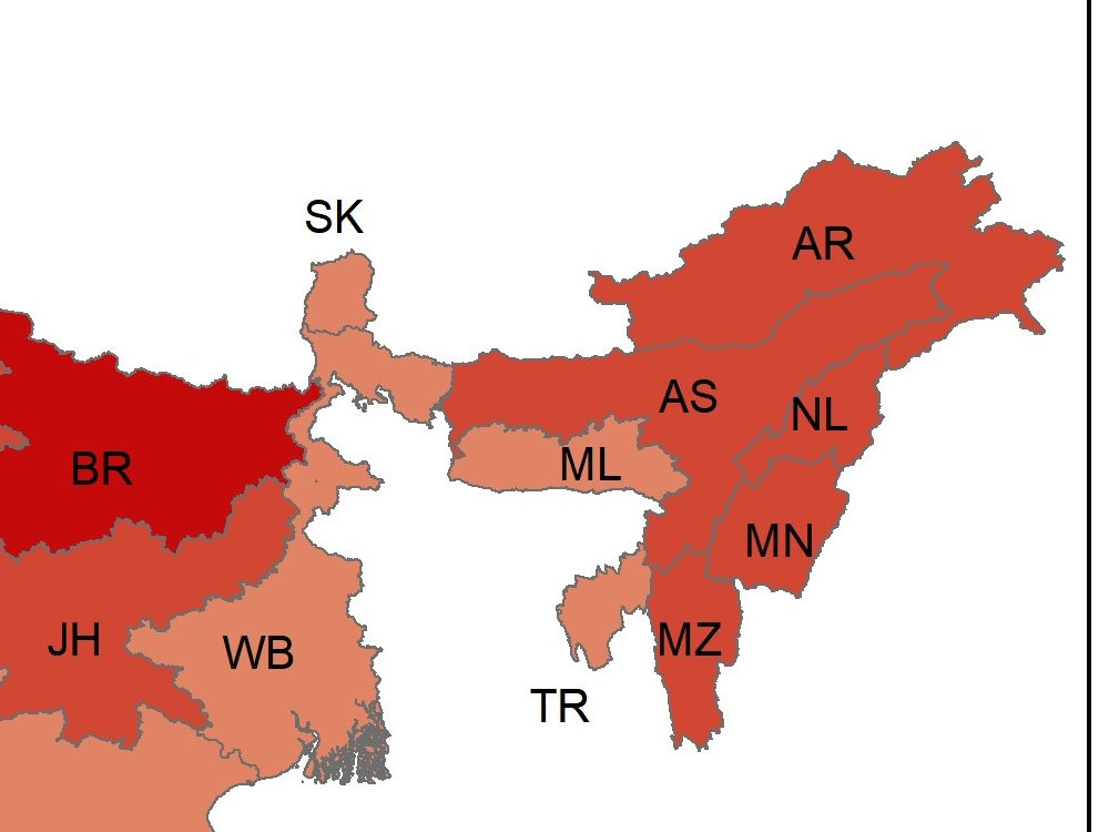
9. Thematic Mapping
10. NDVI/NDBI
Creating Models
etc
I can use/work on Different softwares like ArcGIS, QGIS, ERDAS Imagine
Map Compose in any format with high resolution just like png, tiff, jpg, mrsid etc
Thanks
1. Image classification
2. Network maps(Route Maps and Services Maps)
3. Spatio-Temporal Analysis(change detection)
4. Making 3D Maps
5. Vector/Raster Maps
6. Interpolation (idw,kriging)
7. Digitization
8. Georeferencing
9. Thematic Mapping
10. NDVI/NDBI
Creating Models
etc
I can use/work on Different softwares like ArcGIS, QGIS, ERDAS Imagine
Map Compose in any format with high resolution just like png, tiff, jpg, mrsid etc
Thanks
Data Tool
ArcGISWhat's included
| Service Tiers |
Starter
$20
|
Standard
$30
|
Advanced
$60
|
|---|---|---|---|
| Delivery Time | 1 day | 1 day | 2 days |
Number of Revisions | 2 | 2 | 4 |
Number of Graphs/Charts | 1 | 2 | 3 |
Number of Variations | 1 | 2 | 3 |
Data Source Connectivity | |||
Web Embedding | |||
Interactive/Animated Visuals |
Optional add-ons
You can add these on the next page.
Fast Delivery
+$10
Additional Revision
+$8
Additional Graph/Chart
(+ 1 Day)
+$15About Abdul
GIS Analyst
Peshawar, Pakistan - 5:33 pm local time
Services:
Data Analysis, Data Production
LandUse/LandCover Classification
Modeling
Area Calculations
Create Maps from Google Earth
Georeferencing
Digitization
Hydrology Dataset(Watershed)
Digitization of Points, Lines, Polygons in Vector format.
Shapefile, Feature Class, Geodatabase, kml etc
Interpolation
Thematic Mapping
NDVI/NDBI
etc
Feel FREE to contact me 24/7 available, i will try my best for better visualize and Give Output Maps.
100% Money back Guarantee
Regards
Abdul Haseeb
Steps for completing your project
After purchasing the project, send requirements so Abdul can start the project.
Delivery time starts when Abdul receives requirements from you.
Abdul works on your project following the steps below.
Revisions may occur after the delivery date.
If there is more edit you require, you are welcome to ask
We never compromise on Quality of the output Map, if the map need more edits please ask to clear everything.