You will get interactive web application built with open-source technologies
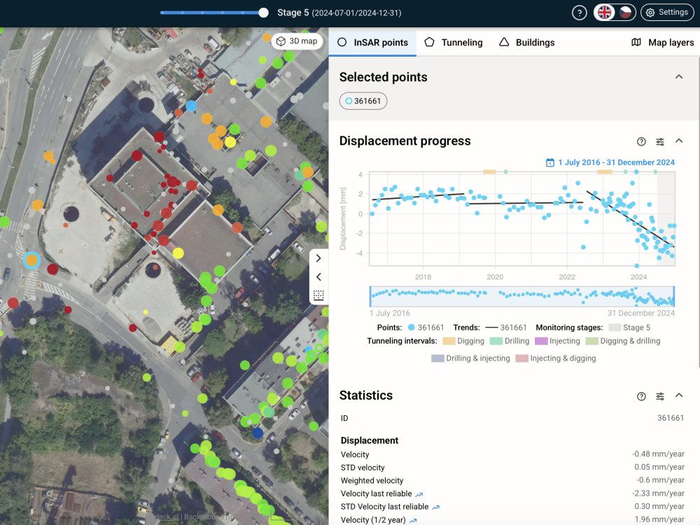
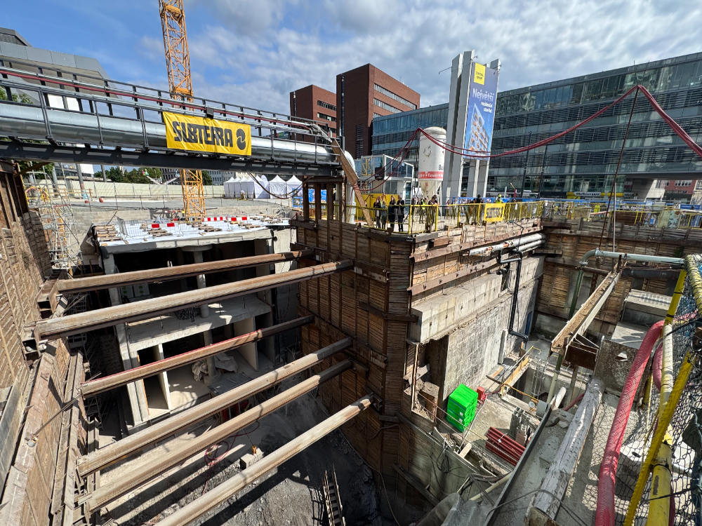
Project details
What sets me and my projects apart is the combination of deep geospatial expertise and full-stack development skills. I deliver interactive, user-friendly tools built on modern open-source tech, transforming complex EO data into clear, actionable insights. My work bridges technical precision with real-world usability—tailored to both expert users and broader stakeholders.
Programming Languages
JavaScript, Python, TypeScriptCoding Expertise
Cross Browser & Device Compatibility, Localization, Performance OptimizationWhat's included
| Service Tiers |
Starter
$5,800
|
Standard
$8,000
|
Advanced
$12,000
|
|---|---|---|---|
| Delivery Time | 50 days | 70 days | 70 days |
Number of Revisions | 3 | 5 | Unlimited |
Design Customization | - | ||
Content Upload | - | ||
Responsive Design | - | ||
Source Code | - |
About Andrii
GIS Specialist / Analyst
Prague, Czech Republic - 2:02 am local time
Web Dev background. Comprehensive experience in project management and working in Agile and Scrum environments. Familiar with Remote Sensing. Worked with vector and raster datasets.
Prepared to solve difficult tasks by finding or creating unique solutions. Mentally flexible
and stress-resistant with multitasking ability.
Ensure smooth business operations by following the project from the concept phase
until completion.
Worked as engineer-surveyor at Scientifically researching institute of earth planning, Kyiv, Ukraine and as project assistant at LLC TVIS-UKRAINE.
- Utilized strong interpersonal and communications skills to serve customers
- Worked collaboratively in a team environment
- Accomplished 3 projects on-time
- Worked with ArcGIS and MicroStation software
- Digitalized maps
- Classified LiDAR points according to project
- Wrote macrosets for working with Microstation
- Resolved all issues professionally and in a timely manner
Projects:
- Digitalization of agricultural groups of soils
Working in ArcGIS. Government order special for the normative monetary valuation of land
- LiDAR point classification and 3D modelling
LiDAR point classification and creation of 3D model of surface of the territory of Ukraine in Microstation software.
- Digitization maps of scale 1: 50 000
Working with ArgGIS software products. Self-writed macro sets were used. Working with database of National Geodetic Network (DGM), orthomosaic of PlanetScope 2017, orthomosaics of scale 1:10 000 which was created on the basis of aerial photographs of the territory of Ukraine in the period from 2006 to 2012 within the framework of the World Bank project "Issuance of State Acts of Ownership of Land in Rural Areas and Modernization of the Cadastre System" Digital topographic map of scale 1:50 00 created (updated) within the framework of the Ukrainian-Norwegian project "maps for the accompanying appropriate land management in Ukraine" 2018-2020
Steps for completing your project
After purchasing the project, send requirements so Andrii can start the project.
Delivery time starts when Andrii receives requirements from you.
Andrii works on your project following the steps below.
Revisions may occur after the delivery date.
Requirements specification
Planning & Design