You will get Interactive Web Map for Geospatial Visualization
Project details
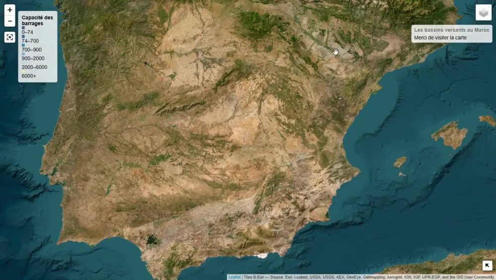
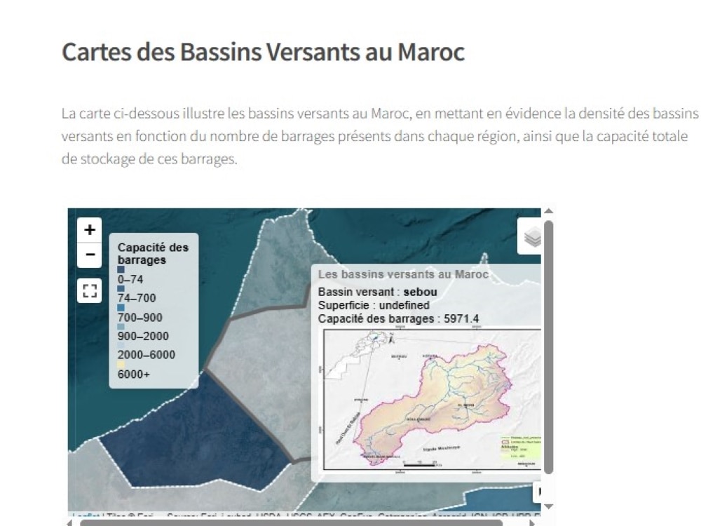
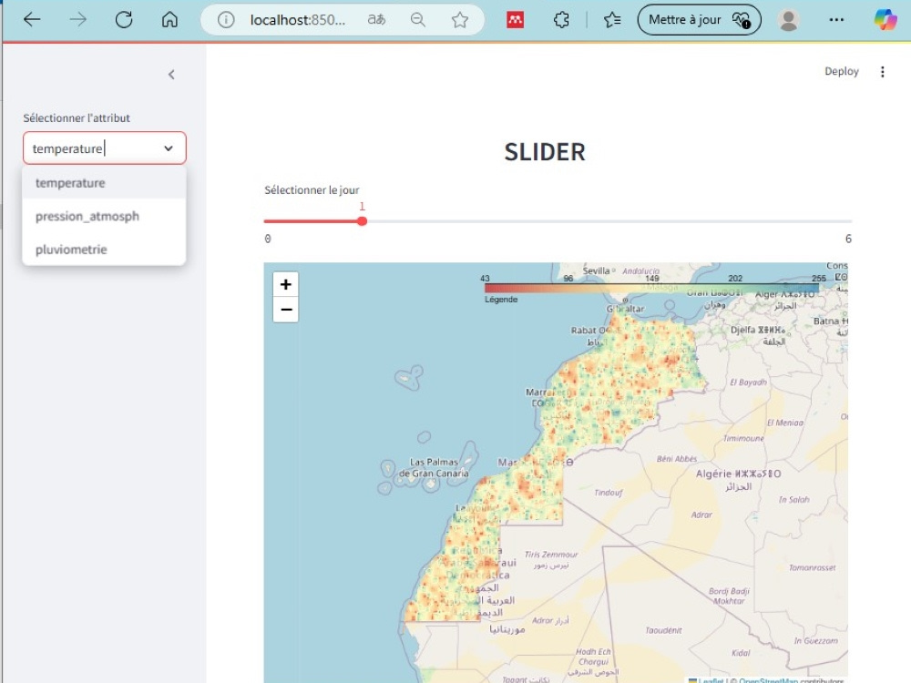
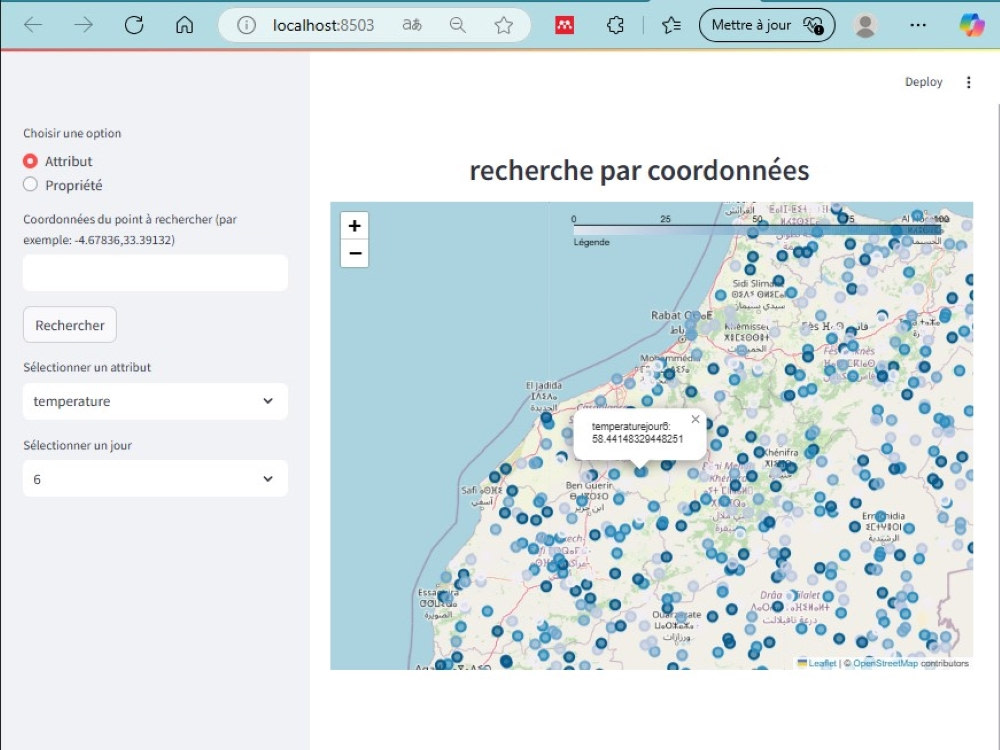
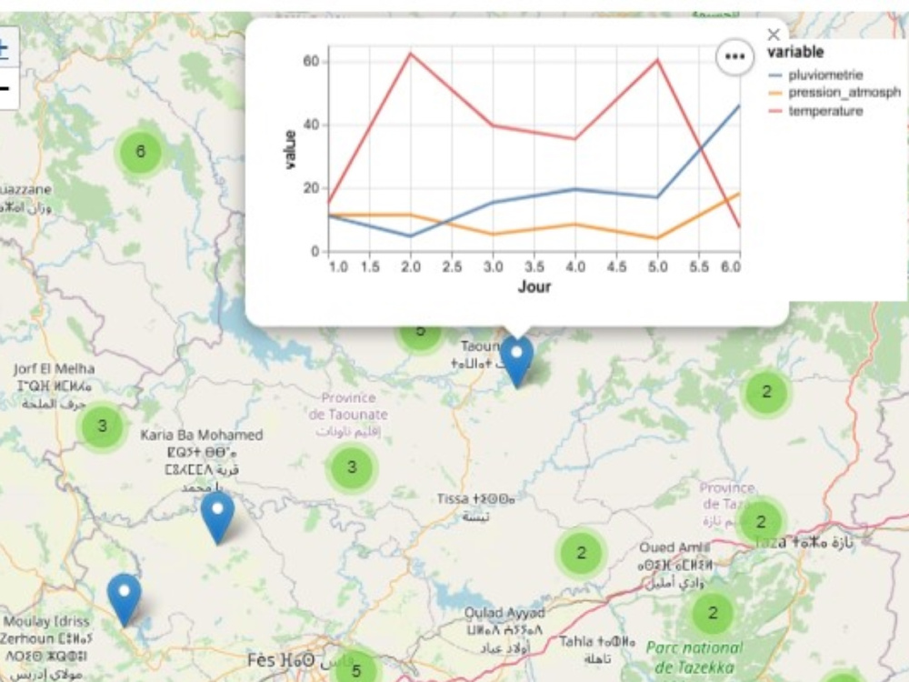
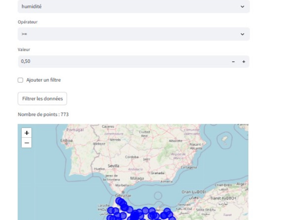
I specialize in creating dynamic, user-friendly web maps for geospatial data visualization. My solution offers seamless navigation, interactive layers, and advanced GIS functionalities tailored to your needs. With expertise in web mapping technologies, I ensure accurate, efficient, and visually appealing maps for enhanced decision-making.
Programming Languages
HTML & CSS, JavaScript, PythonCoding Expertise
DesignWhat's included
| Service Tiers |
Starter
$40
|
Standard
$60
|
Advanced
$100
|
|---|---|---|---|
| Delivery Time | 10 days | 8 days | 6 days |
Number of Revisions | 1 | 2 | 3 |
Design Customization | - | ||
Content Upload | - | ||
Responsive Design | |||
Source Code | - | - |
Optional add-ons
You can add these on the next page.
Additional Revision
+$10
Add company name and/or logo
(+ 1 Day)
+$20About Laila
GIS and Topographic Engineering
Zagora, Morocco - 1:14 pm local time
I provide expert GIS, remote sensing, and BIM solutions, specializing in spatial analysis, 3D modeling, and geospatial automation. With experience in land surveying, topography, photogrammetry, LiDAR, and mapping, I help businesses turn geospatial data into actionable insights. Let’s optimize your projects with cutting-edge geospatial technologies! 🚀
Skills & Expertise:
✅ GIS & Mapping – Spatial analysis, geodatabases, Web Mapping (ArcGIS, QGIS, PostGIS).
✅ Remote Sensing – Image processing, change detection, land cover analysis (ENVI, Google Earth Engine).
✅ 3D Modeling & BIM – Point cloud processing, Scan-to-BIM, volumetric calculations (Revit, Pix4D, Agisoft).
✅ Topography & GNSS – Surveying, geodetic networks, photogrammetry, cadastral mapping.
✅ Programming & Automation – Python ,JS ,HTML ,CSS , SQL, Geopandas, Leaflet for GIS applications.
Steps for completing your project
After purchasing the project, send requirements so Laila can start the project.
Delivery time starts when Laila receives requirements from you.
Laila works on your project following the steps below.
Revisions may occur after the delivery date.
Verify Data & Requirements
Check provided files and confirm feasibility.
Set Up the Web Mapping Framework