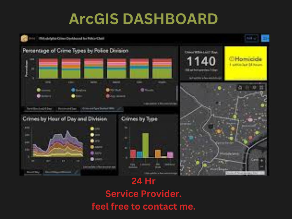
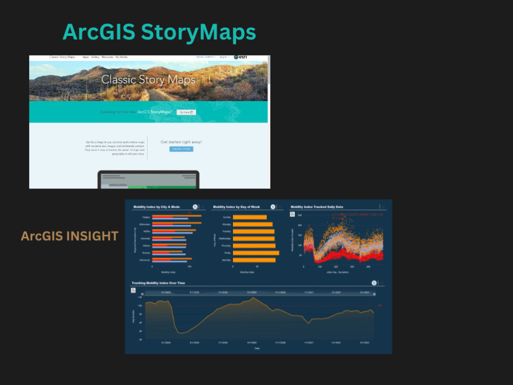
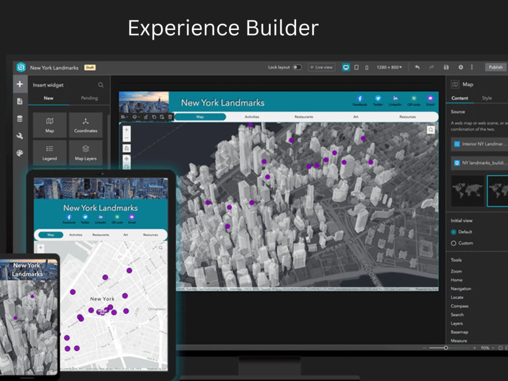
You will get Professional ArcGIS Dashboards,Experience Builder,Story Map,ArcGIS Insights
Top Rated
Top Rated
Project details
Welcome to the realm of GIS excellence, where your geospatial tasks are transformed into organized, professional Dashboard and Maps.
With over 13+ years of expertise in ArcGIS, ArcGIS Online and Google Earth Pro, I offer precise GIS services, ensuring your projects are executed flawlessly and delivered on time.
My services cover a wide spectrum of GIS tasks, including:
✔️ ArcGIS DASHBOARD, Experience Builder, Story Map, ArcGIS Insight
✔️ Assigning/Conversion of the Coordinate System
✔️ Creating Maps in ArcGIS and Google Earth Pro
✔️ Modification/Creation of Shapefiles, Feature Classes, Geodatabases, Vector, Raster, and KML
✔️ Digitization of Lines, Polygons, and Points in Vector Format
✔️ Georeferencing
✔️ Working on Digital Elevation Models (DEM)
✔️ Topographic Map Creation (shaded relief, height, contour)
and many more work
I consider myself a highly organized individual with impeccable attention to detail. My goal when working on a project is to make the life of my client easier, be part of the solution, and always give my 101% to get the task done on time and of high quality.
With over 13+ years of expertise in ArcGIS, ArcGIS Online and Google Earth Pro, I offer precise GIS services, ensuring your projects are executed flawlessly and delivered on time.
My services cover a wide spectrum of GIS tasks, including:
✔️ ArcGIS DASHBOARD, Experience Builder, Story Map, ArcGIS Insight
✔️ Assigning/Conversion of the Coordinate System
✔️ Creating Maps in ArcGIS and Google Earth Pro
✔️ Modification/Creation of Shapefiles, Feature Classes, Geodatabases, Vector, Raster, and KML
✔️ Digitization of Lines, Polygons, and Points in Vector Format
✔️ Georeferencing
✔️ Working on Digital Elevation Models (DEM)
✔️ Topographic Map Creation (shaded relief, height, contour)
and many more work
I consider myself a highly organized individual with impeccable attention to detail. My goal when working on a project is to make the life of my client easier, be part of the solution, and always give my 101% to get the task done on time and of high quality.
Data Tool
ArcGISWhat's included
| Service Tiers |
Starter
$50
|
Standard
$100
|
Advanced
$200
|
|---|---|---|---|
| Delivery Time | 5 days | 7 days | 10 days |
Number of Revisions | 1 | 1 | 2 |
Number of Graphs/Charts | 2 | 2 | 2 |
Data Source Connectivity | |||
Web Embedding | |||
Interactive/Animated Visuals |
Optional add-ons
You can add these on the next page.
Fast Delivery
+$100 - $250
Additional Revision
+$50
Additional Graph/Chart
(+ 1 Day)
+$50
Additional Variation
(+ 1 Day)
+$50
9 reviews
(8)
(1)
(0)
(0)
(0)
This project doesn't have any reviews.
KB
Kristen B.
Jul 23, 2025
Geographical Mapping of Sheep Breeds
TS
Tarun Janardhan S.
May 6, 2025
Georeferencing JPG and Google Earth
CR
Charles R.
Dec 23, 2024
Google maps overlay program from PDF Files
EB
Ernest B.
Nov 15, 2024
GIS Specialist Needed for Grassland Mapping in Uganda
IB
Ilyas B.
May 7, 2024
Mapping - cartography - gis tools
About Mahwish
AI-Powered GIS | ArcGIS | QGIS | PostgreSQL/PostGIS | 3D | Web GIS
100%
Job Success
Islamabad, Pakistan - 7:15 pm local time
Finding the right GIS professional can be challenging. If you're looking for someone who delivers accurate, high-quality spatial solutions with clear communication and on-time delivery, you're in the right place.
I am a GIS & Cartography Specialist with 13+ years of professional experience in Geographic Information Systems (GIS), Cartographic Design, Spatial Analysis, Remote Sensing, and Web GIS Development. I help clients across Urban Planning, Telecom (FTTH/Fiber), Utilities, Environmental Management, Government, Real Estate, Transportation, and Engineering solve complex spatial challenges using industry-leading GIS technologies.
I combine traditional GIS expertise with modern AI-powered workflows to automate repetitive tasks, improve accuracy, reduce turnaround time, and deliver reliable, data-driven results.
I enjoy solving complex spatial problems and continuously learning emerging geospatial technologies to provide innovative GIS solutions that help clients make better decisions.
My Services
🗺️ GIS & Mapping
GIS Data Processing
Cartographic Design
Mapping Specialist
Cadastral Mapping
Election Mapping
Thematic Mapping
Utility & Fiber (FTTH) Mapping
Real Estate Mapping
Land Use & Land Cover Mapping
Georeferencing Maps & Images
Digitizing Points, Lines & Polygons
Spatial Analysis & Geoprocessing
🌍 Remote Sensing & DEM Analysis
DEM Download (10m / 12.5m / 30m)
3D Terrain & Hydrological Visualization
3D Diorama
3D Mapping
Terrain Analysis
Watershed Delineation
Slope, Aspect & Contour Generation
Hydrological Analysis
Flood Risk Mapping
💻 Database & Web GIS
PostgreSQL
PostGIS
Spatial SQL Queries
Database Design & Management
Leaflet Web Maps
Interactive Web GIS Applications
ArcGIS Online
ArcGIS Dashboards
Experience Builder
🤖 AI-Powered GIS Solutions
AI-assisted GIS Automation
AI-powered Data Extraction
OCR for Maps & Documents
AI-assisted Digitization
Geospatial Data Cleaning
Workflow Automation
GIS Quality Assurance using AI
📊 Software & Tools
ArcGIS Pro
ArcMap
ArcGIS Online
ArcGIS Dashboards
QGIS
PostgreSQL
PostGIS
Leaflet
Google Earth Pro
Microsoft Excel
Adobe Illustrator
Adobe Photoshop
📈 Data Services
Data Entry
Data Cleaning
Data Collection
Data Validation
Lead Generation
Internet Research
Google Maps Data Collection
Excel Data Extraction
Why Choose Me?
✔ 13+ Years of GIS Experience
✔ AI-Enhanced GIS Workflows
✔ Detail-Oriented & Highly Organized
✔ Fast Communication
✔ Accurate Spatial Analysis
✔ High-Quality Cartographic Outputs
✔ On-Time Delivery
✔ 100% Client Satisfaction Focus
I believe every project deserves precision, efficiency, and attention to detail. My goal is not only to complete your project successfully but also to become a reliable long-term GIS partner you can trust.
Whether you need GIS analysis, Web GIS development, spatial databases, AI-powered automation, or interactive mapping solutions, I'd be happy to discuss your project.
Let's transform your geospatial data into meaningful insights. Feel free to send me a message—I look forward to working with you!
Steps for completing your project
After purchasing the project, send requirements so Mahwish can start the project.
Delivery time starts when Mahwish receives requirements from you.
Mahwish works on your project following the steps below.
Revisions may occur after the delivery date.
Methodology
1. Receive order from a client 2. Collect data 3. do analysis work and prepare map, 4. Submit to a client and wait for a response. 5. reviews