You will get Python & Google Earth Engine code of geospatial analysis
Project details
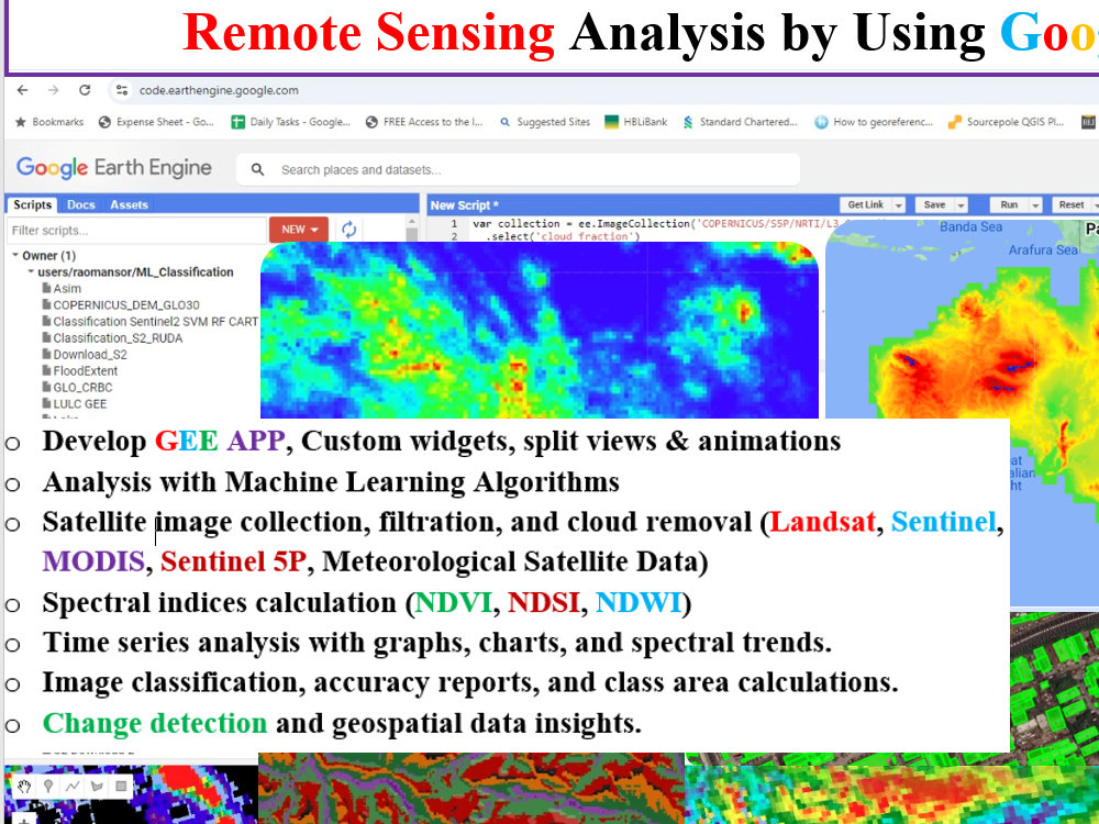
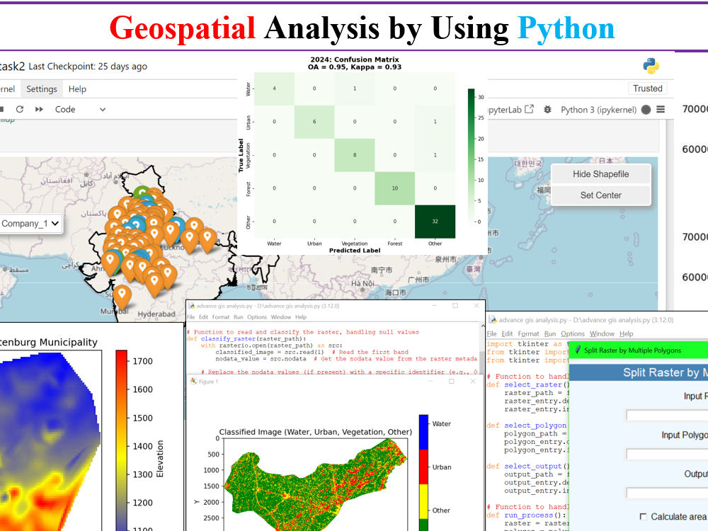
I have over 5 years of experience working with Python & Google Earth Engine, specializing in a wide range of geospatial services using satellite data. Here's what I offer:
#(Python / Google Earth Engine )
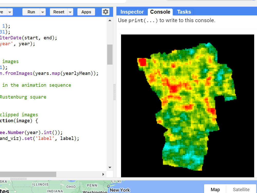
GEE App Development & Custom Widgets
Satellite Image Collection & Processing
Spectral Indices Analysis
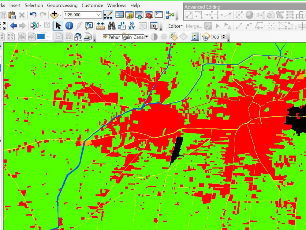
Change Detection & Classification
Time Series Analysis & Visualization
Area Calculation & Class-Specific Analysis
#( Python )
Machine Learning for Spatial Data (e.g., classification, clustering, regression)
Spatial Interpolation (e.g., Kriging, IDW)
Network Analysis (e.g., shortest path, service area)
Raster and Vector Overlay Analysis
Viewshed and Line-of-Sight Analysis
Geostatistical Modeling (e.g., variogram analysis)
Suitability Modeling and Multi-Criteria Decision Analysis (MCDA)
Spatio-Temporal Data Analysis
If you're interested in my services, feel free to place your order.
#(Python / Google Earth Engine )
GEE App Development & Custom Widgets
Satellite Image Collection & Processing
Spectral Indices Analysis
Change Detection & Classification
Time Series Analysis & Visualization
Area Calculation & Class-Specific Analysis
#( Python )
Machine Learning for Spatial Data (e.g., classification, clustering, regression)
Spatial Interpolation (e.g., Kriging, IDW)
Network Analysis (e.g., shortest path, service area)
Raster and Vector Overlay Analysis
Viewshed and Line-of-Sight Analysis
Geostatistical Modeling (e.g., variogram analysis)
Suitability Modeling and Multi-Criteria Decision Analysis (MCDA)
Spatio-Temporal Data Analysis
If you're interested in my services, feel free to place your order.
Machine Learning Tools
PythonWhat's included
| Service Tiers |
Starter
$10
|
Standard
$25
|
Advanced
$50
|
|---|---|---|---|
| Delivery Time | 1 day | 2 days | 3 days |
Number of Revisions | Unlimited | Unlimited | Unlimited |
Model Validation/Testing | - | - | - |
Model Documentation | - | - | - |
Data Source Connectivity | - | - | - |
Source Code |
About Rao
Remote Sensing GIS Specialist
Lahore, Pakistan - 2:04 am local time
Experienced in remote sensing (LIDAR, aerial and satellite imagery), 3D modelling, creating various thematic maps, GIS automatization etc.
I am enthusiastic about what am I doing and always open to new areas. I like new challenges, which can push my knowledge and skills to new levels.
1. Conducting GIS and Remote Sensing activities
2. Parcel mapping of congested areas.
3. Georeferencing, clipping & mosaicing
4. Digitization of Land use/Land covers classes.
5. Layout preparation
6. Merging of survey data in ArcGIS environment
7. Acquisition of satellite imageries
8. Digital image processing.
9. Digital image classification by using High Resolution Satellite Images.
10. GIS based vector & Raster Analysis.
11. DEM based Analysis
12. Generation of digital elevation model from the stereo pair of satellite images.
13. Generation of digital elevation model and contours from survey points.
14. Collection of GCP by using GPS.
15. Base map preparation
16. Preparation of GIS database from Topographic sheets.
17. Land use, Infrastructure inventory preparation
18. Preparation of cross-sectional data
19. Flood Delineation Maps
20. Surface Analysis
21. Geostatistical Analysis
22. Elevation Area Capacity Curves
Steps for completing your project
After purchasing the project, send requirements so Rao can start the project.
Delivery time starts when Rao receives requirements from you.
Rao works on your project following the steps below.
Revisions may occur after the delivery date.
ROI OR Script
Please share the details of your project, specify the area / region of interest, or provide the script in which you are seeking assistance to identify errors.