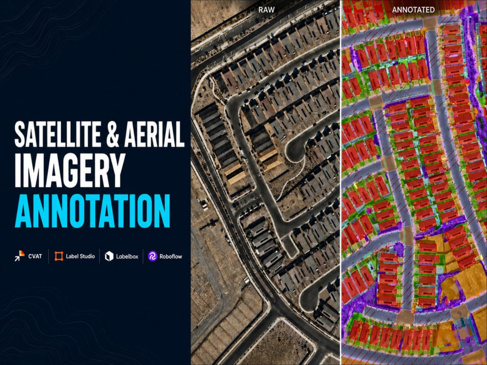
You will get satellite and aerial imagery annotation for computer vision
Project details
Need accurate satellite, drone, or aerial imagery annotation for a computer vision model, GIS mapping, or land analysis?
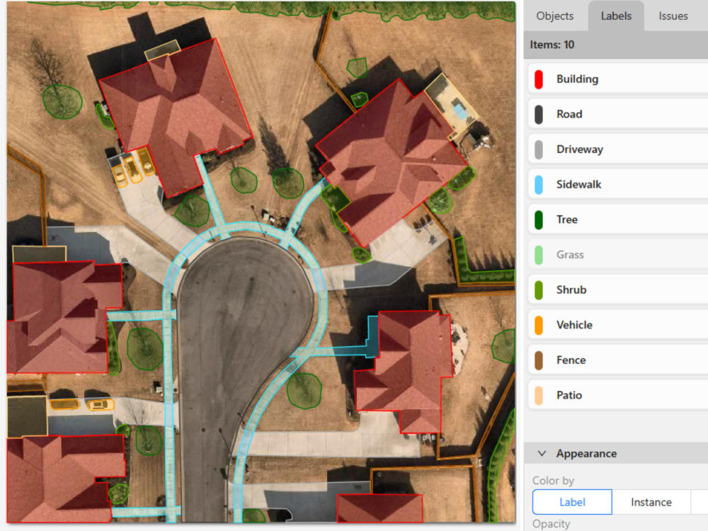
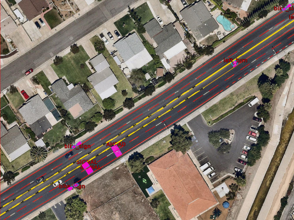
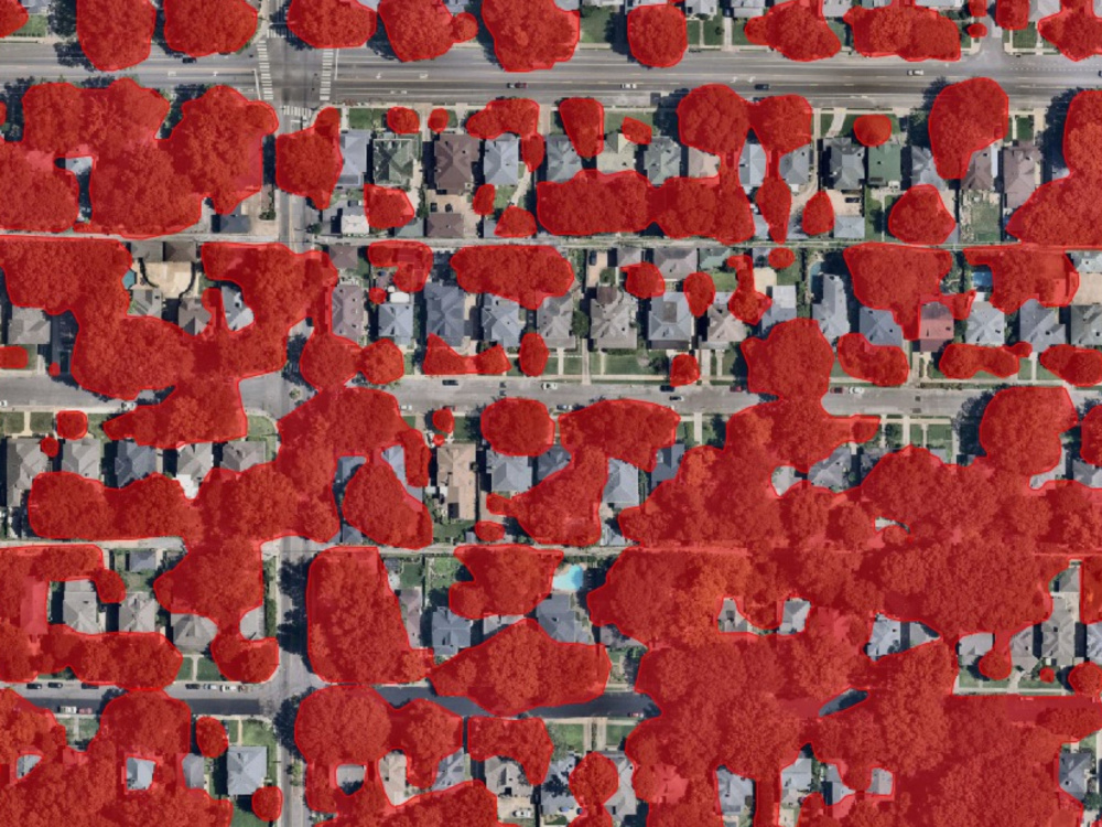
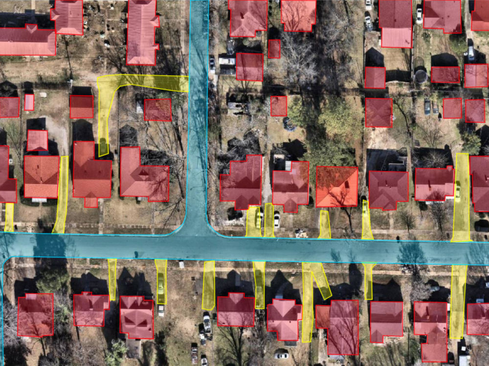
I am an Annotator and QA specialist with production experience labeling overhead imagery across diverse classes—including roads, buildings, driveways, sidewalks, tree canopy, land cover, and road markings. I review, correct, and verify annotations for strict boundary accuracy before delivery.
Services:
• Polygon annotation
• 2D Bounding box annotation
• Multi-class labeling & spec-compliance review
Supported Tools:
• CVAT, Label Studio, Labelbox, Roboflow, and proprietary platforms
Supported Export Formats:
• COCO JSON, YOLO (.txt), GeoJSON, Shapefile, Pascal VOC XML, Binary Masks
Project Notes:
• Pricing reflects standard complexity. Projects with 20+ classes quoted separately via custom offer.
• Scope: Data annotation and quality assurance only (I do not train models or write ML pipelines).
Select a package above, or message me directly with your guidelines and image count to discuss custom scopes.
I am an Annotator and QA specialist with production experience labeling overhead imagery across diverse classes—including roads, buildings, driveways, sidewalks, tree canopy, land cover, and road markings. I review, correct, and verify annotations for strict boundary accuracy before delivery.
Services:
• Polygon annotation
• 2D Bounding box annotation
• Multi-class labeling & spec-compliance review
Supported Tools:
• CVAT, Label Studio, Labelbox, Roboflow, and proprietary platforms
Supported Export Formats:
• COCO JSON, YOLO (.txt), GeoJSON, Shapefile, Pascal VOC XML, Binary Masks
Project Notes:
• Pricing reflects standard complexity. Projects with 20+ classes quoted separately via custom offer.
• Scope: Data annotation and quality assurance only (I do not train models or write ML pipelines).
Select a package above, or message me directly with your guidelines and image count to discuss custom scopes.
AI Development Type
Deep Learning, Model TuningAI Tools
Google AutoML, OpenCV, PyTorch, TensorFlowAI Development Language
PythonWhat's included
| Service Tiers |
Starter
$15
|
Standard
$50
|
Advanced
$140
|
|---|---|---|---|
| Delivery Time | 2 days | 4 days | 9 days |
Number of Revisions | 2 | 3 | 6 |
AI Model Integration | - | - | - |
Detailed Code Comments | - | - | - |
Knowledge Graph | - | - | - |
Model Documentation | - | - | - |
Ontology | - | - | - |
Source Code | - | - | - |
Taxonomy |
Optional add-ons
You can add these on the next page.
Fast Delivery
+$10 - $40Frequently asked questions
About Muhammad
Computer Vision Data Annotator | Satellite & Aerial Imagery | CVAT
Islamabad, Pakistan - 3:54 pm local time
I focus on bridging the gap between client annotation guidelines and clean, production-ready datasets—ensuring all annotations are tight, accurate, and consistent across batches.
Core Capabilities & Workflow:
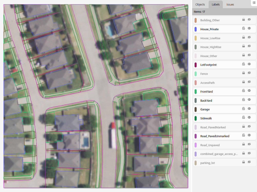
• Polygon Segmentation: Tight boundary alignment for building footprints, lot perimeters, and infrastructure, including pixel-level tile-to-tile edge matching across adjacent tiles.
• Object Detection: Clean 2D bounding boxes for multi-class detection with strict handling of occlusions, cutoffs, and edge cases.
• Quality Assurance: Spec-compliance auditing, peer submission review, boundary and classification error correction, and batch-wide consistency checks.
• Complex Taxonomies: Proven ability to navigate and apply detailed, multi-level labeling rules (up to 186 distinct object classes).
Proven Project Experience:
• Aerial & Satellite Property Mapping (430 High-Res Images): Executed dense polygon annotations for building footprints, lot boundaries, yards, access paths, and fences in CVAT.
• Urban Vehicle Classification (5,000+ CCTV Frames): Labeled and validated multi-class vehicles on dense traffic camera stills using CVAT, maintaining strict bounding box margins.
• Dataset Auditing & Peer QA: Promoted from Annotator to QA Checker at RYU Data Center; audited peer submissions across 186 object classes on a proprietary platform, with tile-to-tile boundary consistency as a primary responsibility.
Supported Platforms & Export Formats:
• Tools: CVAT, Label Studio, Labelbox, Roboflow
• Formats: YOLO, COCO JSON, Pascal VOC XML, Binary/Semantic Masks, CSV
Available for pilot tasks, high-volume batch processing, and ongoing data pipelines.
Send an invite with your project guidelines, and I am happy to complete a quick 5-image sample test to verify quality and turnaround speed before kicking off a full batch.
Steps for completing your project
After purchasing the project, send requirements so Muhammad can start the project.
Delivery time starts when Muhammad receives requirements from you.
Muhammad works on your project following the steps below.
Revisions may occur after the delivery date.
Dataset & Guidelines Review
Review your satellite images, class taxonomy, and boundary rules to ensure complete alignment before labeling.
Annotation Execution
Execute high-precision polygon and bounding box annotations in CVAT, Label Studio, or your preferred platform.