You will get satellite data analysis (DEM, ERA5, GPM, CHIRPS, Landsat, Sentinel, SRTM)
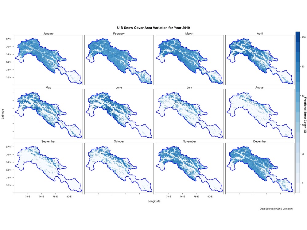
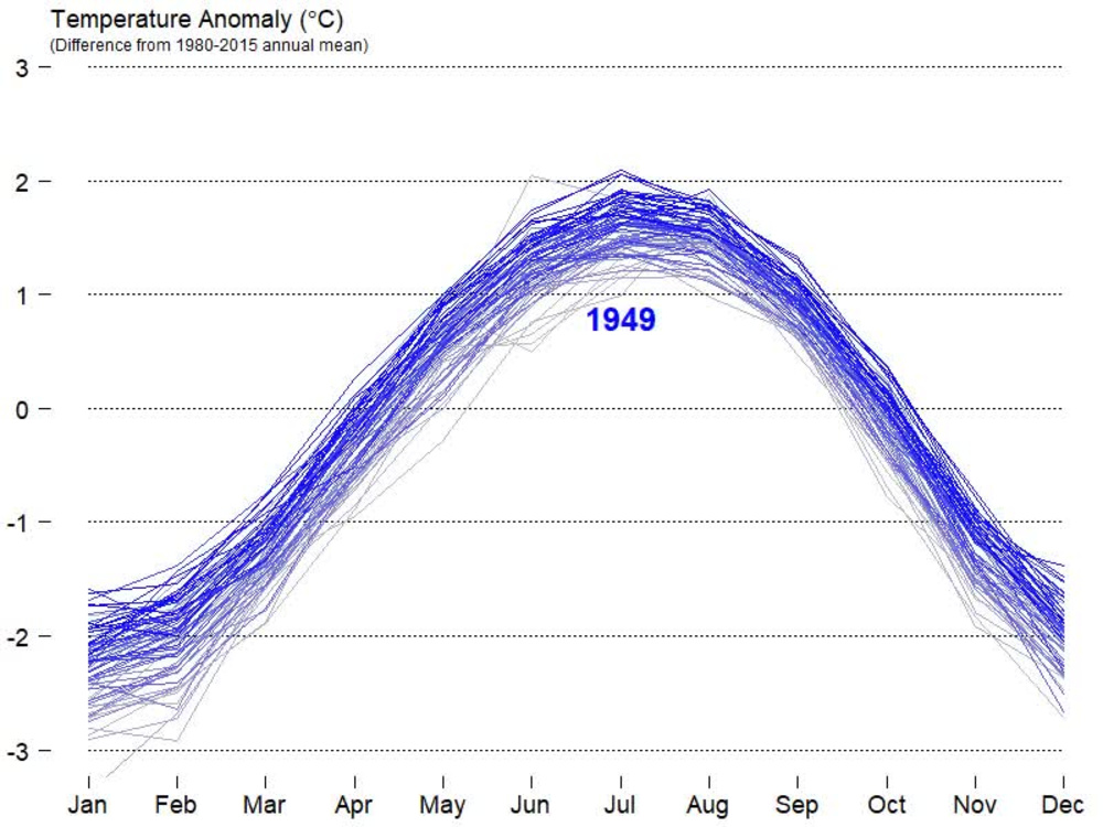
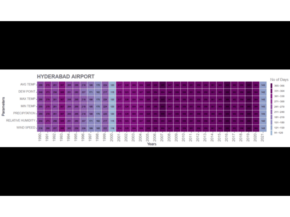
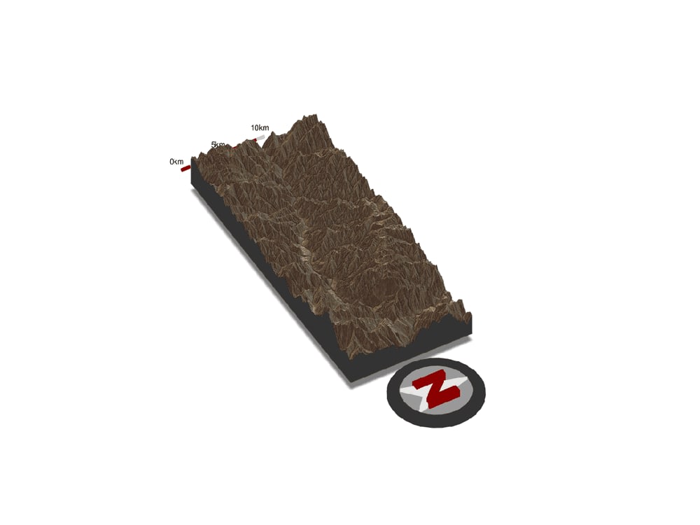
Project details
With over 14 years of experience in geospatial analysis, remote sensing, and environmental modeling, I offer high-quality insights from satellite datasets for satellite, GIS, mapping, hydrology studies, and more. I specialize in working with ERA5, CHIRPS, Landsat, Sentinel, SRTM, ALOS, and GLO30 datasets to provide precise and actionable analysis.
Rainfall and Temperature Data Analysis (ERA5, CHIRPS, RFE, PDIR, GPM)
Digital Elevation Model (DEM) Analysis for Terrain and Watershed Delineation (SRTM, ALOS, GLO30)
Land Use and Land Cover (LULC) Mapping using Landsat and Sentinel Data
NDVI, NDWI, and Other Vegetation Indices
Trend Analysis of Rainfall and Temperature for Climate Projections
Topographic Analysis and Surface Hydrology (Catchments, Streams)
ERA5 Reanalysis Data for temperature, precipitation, and climate variables
CHIRPS (Climate Hazards Group InfraRed Precipitation)
RFE NOAA and PDIR for Rainfall Monitoring
GPM (Global Precipitation Measurement) for near-real-time precipitation data
Landsat 4-9 and Sentinel 1-2 for vegetation and land cover
SRTM, ALOS PALSAR, and GLO30 DEM for elevation-based terrain
Rainfall and Temperature Data Analysis (ERA5, CHIRPS, RFE, PDIR, GPM)
Digital Elevation Model (DEM) Analysis for Terrain and Watershed Delineation (SRTM, ALOS, GLO30)
Land Use and Land Cover (LULC) Mapping using Landsat and Sentinel Data
NDVI, NDWI, and Other Vegetation Indices
Trend Analysis of Rainfall and Temperature for Climate Projections
Topographic Analysis and Surface Hydrology (Catchments, Streams)
ERA5 Reanalysis Data for temperature, precipitation, and climate variables
CHIRPS (Climate Hazards Group InfraRed Precipitation)
RFE NOAA and PDIR for Rainfall Monitoring
GPM (Global Precipitation Measurement) for near-real-time precipitation data
Landsat 4-9 and Sentinel 1-2 for vegetation and land cover
SRTM, ALOS PALSAR, and GLO30 DEM for elevation-based terrain
Data Tool
RWhat's included
| Service Tiers |
Starter
$100
|
Standard
$150
|
Advanced
$200
|
|---|---|---|---|
| Delivery Time | 1 day | 1 day | 1 day |
Number of Revisions | 1 | 1 | 1 |
About Muhammad
Civil | Climate Change | Programmer | Writer |Water Resources Engineer
Lahore City, Pakistan - 11:54 am local time
I have extensive experience working with international organizations such as the Asian Development Bank (ADB), World Bank, Asian Infrastructure Investment Bank (AIIB), and United Nations Office for Project Services (UNOPS), contributing to projects related to flood risk reduction, climate resilience, and sustainable water resources management.
In addition to my professional work, I have published research in international journals focusing on climate change impacts, flow forecasting, satellite-based rainfall analysis and hydrology.
Work Experience: Pakistan, Saudi Arabia, Papua New Guinea, UAE, Oman
My expertise spans advanced tools and datasets:
HEC-RAS, HEC-HMS, HEC-SSP
FLOW-3D, Google Earth Engine, R, Python, ArcGIS, Excel, VBA
Satellite & Climate Data (ERA5, CHIRPS, Landsat, Sentinel, SRTM, GLO30, NASA)
Climate Models (CMIP6, Scenarios)
Let’s bring precision and insight to project
Steps for completing your project
After purchasing the project, send requirements so Muhammad can start the project.
Delivery time starts when Muhammad receives requirements from you.
Muhammad works on your project following the steps below.
Revisions may occur after the delivery date.
Satellite Analysis
Results