You will get satellite remote sensing for mineral exploration and mining targets
Top Rated
Top Rated
Project details
You will get professional satellite remote sensing and GIS analysis for mineral exploration built to help you find and prioritize drilling targets, not just produce a map.
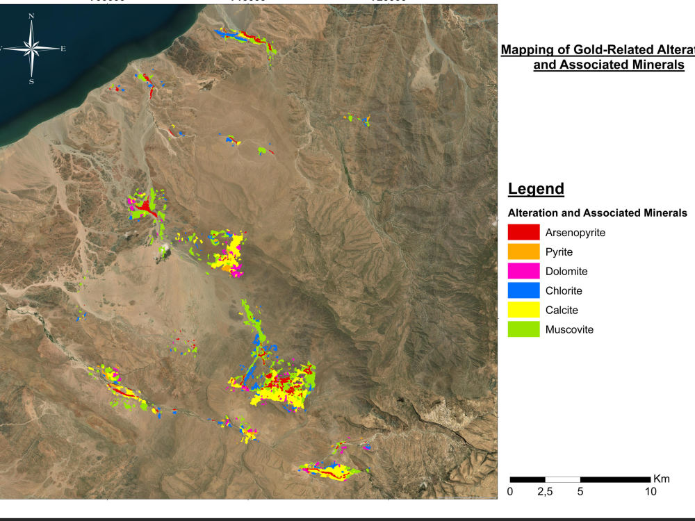
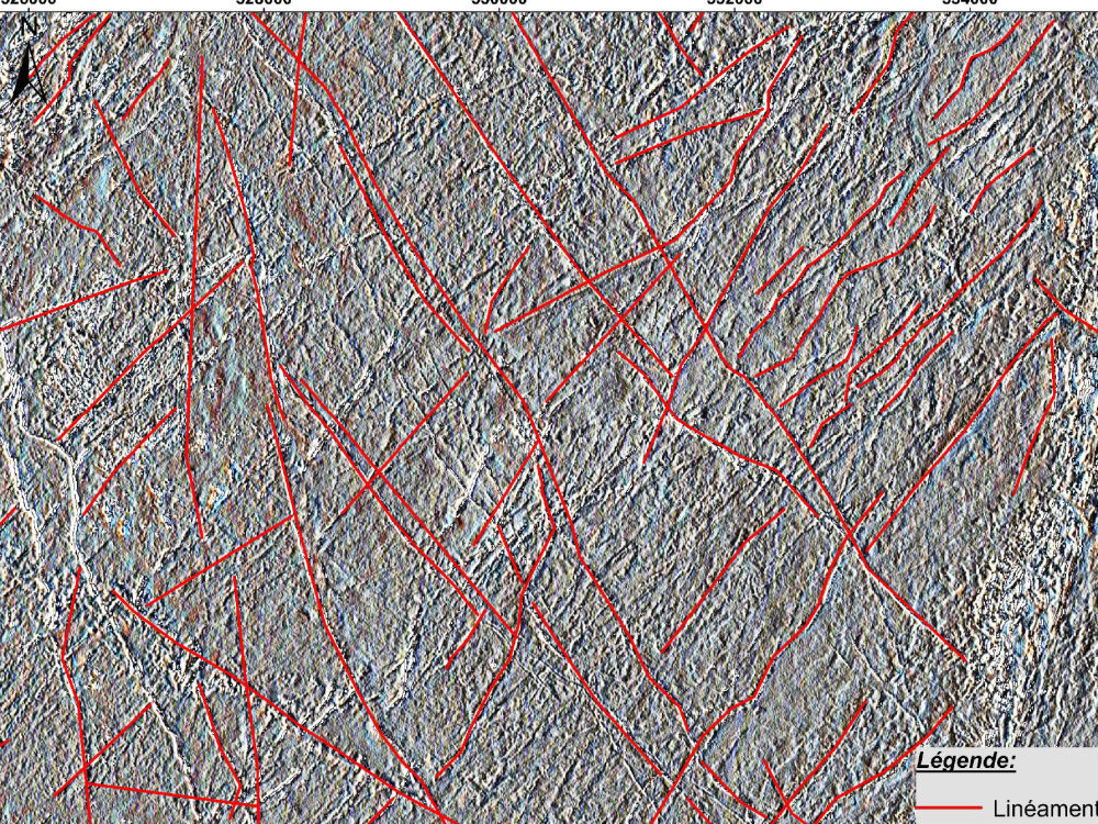
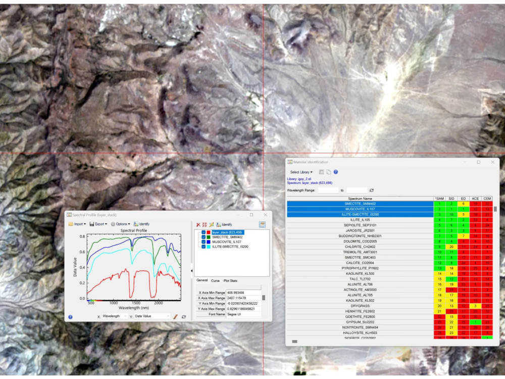
I specialize in turning Sentinel-2, ASTER, Landsat and hyperspectral data into clear, decision-ready results: hydrothermal alteration mapping (iron oxides, clays, propylitic zones), structural lineament extraction, false-color composites, and prospectivity maps for gold, copper, cobalt and iron exploration.
Every output is delivered as GIS-ready layers (GeoTIFF, shapefiles) that drop straight into ArcGIS or QGIS, plus a short interpretation report explaining what the results mean for your project.
With a strong background in geology and remote sensing, I focus on accuracy, clean cartography and results you can actually act on. Whether you are an exploration company, junior miner, consultant or researcher, I adapt the workflow to your data and goals.
Not sure which data or method fits your area? Message me before ordering tell me your location and target minerals, and I'll recommend the best approach with a free custom quote.
I specialize in turning Sentinel-2, ASTER, Landsat and hyperspectral data into clear, decision-ready results: hydrothermal alteration mapping (iron oxides, clays, propylitic zones), structural lineament extraction, false-color composites, and prospectivity maps for gold, copper, cobalt and iron exploration.
Every output is delivered as GIS-ready layers (GeoTIFF, shapefiles) that drop straight into ArcGIS or QGIS, plus a short interpretation report explaining what the results mean for your project.
With a strong background in geology and remote sensing, I focus on accuracy, clean cartography and results you can actually act on. Whether you are an exploration company, junior miner, consultant or researcher, I adapt the workflow to your data and goals.
Not sure which data or method fits your area? Message me before ordering tell me your location and target minerals, and I'll recommend the best approach with a free custom quote.
Data Tool
ArcGISWhat's included
| Service Tiers |
Starter
$500
|
Standard
$900
|
Advanced
$1,900
|
|---|---|---|---|
| Delivery Time | 4 days | 7 days | 15 days |
Number of Revisions | 0 | 0 | 0 |
Optional add-ons
You can add these on the next page.
Fast Delivery
+$150 - $500
3 reviews
(3)
(0)
(0)
(0)
(0)
This project doesn't have any reviews.
CM
Corrado M.
Apr 27, 2026
UAV Data Analysis & Segmentation Expert for Conifer Identification
SI
Samuel I.
Nov 17, 2025
Review of Mining Assets
JT
Johnny T.
Aug 6, 2025
Review and Optimize Geomapping JavaScript and HTML Code
About Mohcine
GIS & Remote Sensing Expert | ArcGIS, QGIS, Python, Web GIS
100%
Job Success
Rabat, Morocco - 10:15 am local time
I am a Top Rated GIS and Remote Sensing specialist with a 100 percent Job Success score. I help mining companies, environmental teams, urban planners, and research groups turn raw spatial and satellite data into clear maps, dashboards, and analysis they can act on.
What I can do for you:
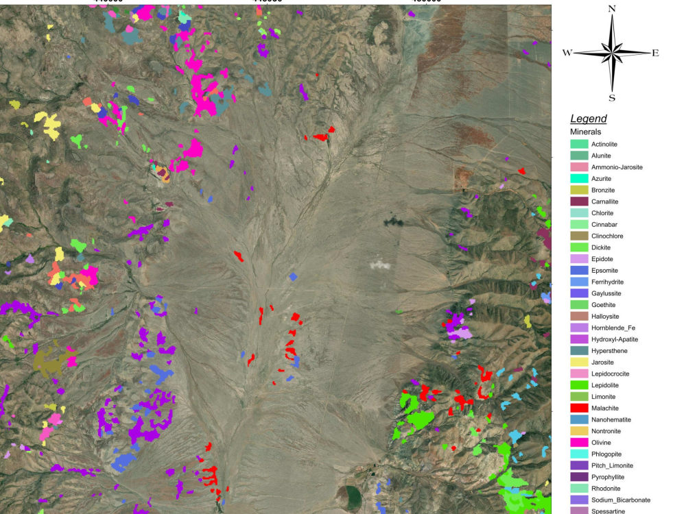
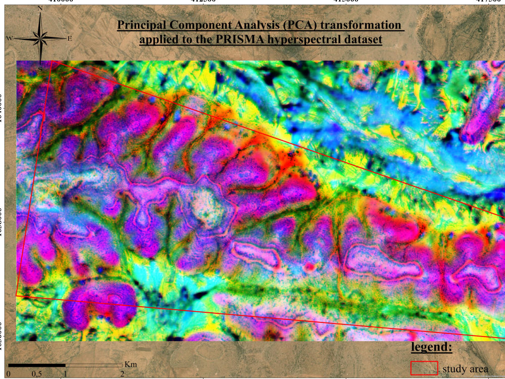
Remote Sensing and Hyperspectral Analysis: processing and interpretation of PRISMA, EMIT, AVIRIS, Sentinel, and Landsat imagery for mineral mapping, vegetation health, and environmental change.
Web GIS and Interactive Dashboards: dynamic web maps and dashboards built with Leaflet, Mapbox, R Shiny, and Geoserver, so your team can explore the data without needing any GIS software.
Spatial Analysis and Automation: advanced spatial and statistical analysis with Python and R, plus automation that removes repetitive manual work from your workflow.
Mineral Exploration Support: identifying high potential zones using hyperspectral imagery, geophysical data, and tools like Leapfrog.
Tools I work with: ArcGIS Pro, QGIS, Google Earth Engine, Python, RStudio, Leapfrog, Leaflet, and Mapbox.
A few recent projects: a water consumption dashboard for a client in the Gulf region, a petroleum mapping system covering South Australia, conifer identification from UAV imagery, and spectral analysis using the NASA ECOSTRESS library. All rated five stars.
Tell me a bit about your project and I will give you an honest assessment of how I can help and whether I am the right fit. I usually reply within a few hours.
Steps for completing your project
After purchasing the project, send requirements so Mohcine can start the project.
Delivery time starts when Mohcine receives requirements from you.
Mohcine works on your project following the steps below.
Revisions may occur after the delivery date.
Data collection & preprocessing
I gather the best satellite data for your area (Sentinel-2, ASTER, Landsat) and prepare it: atmospheric correction, layer stacking, and clipping to your area of interest.
Alteration mapping
Band-ratio and spectral analysis to map hydrothermal alteration zones iron oxides, clays, and propylitic alteration linked to mineralization.