You will get USA Zone maps in Shapefiles/KML/CSV.
Top Rated
Project details
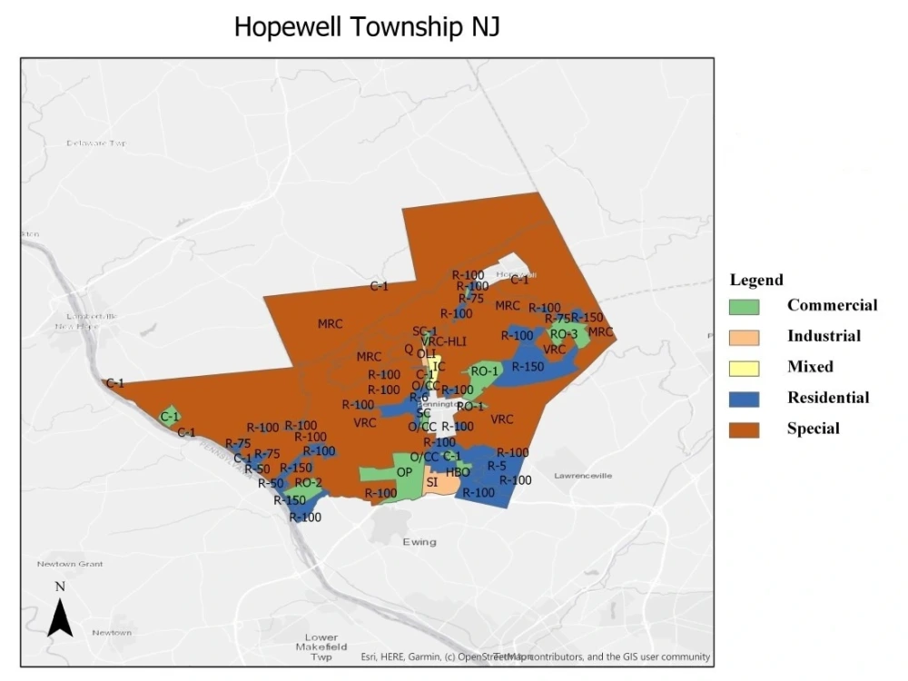
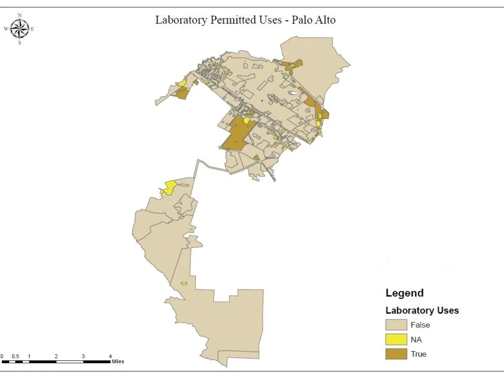
You will get zoning and parcel data of USA in shapefile, KML/KMZ and CSV format. The attributes will have zone code, zone description and parcel information. Also if you need tax information of parcel that will also be added on request.
Data Tool
ArcGISWhat's included
| Service Tiers |
Starter
$15
|
Standard
$25
|
Advanced
$40
|
|---|---|---|---|
| Delivery Time | 3 days | 2 days | 1 day |
Number of Revisions | 1 | 2 | 3 |
70 reviews
(61)
(6)
(2)
(0)
(1)
This project doesn't have any reviews.
JD
John D.
Jun 11, 2026
Mapping of Proposed Easements with Satellite Imagery
quick, as expected, good communicator, thank you.
SB
Shawn B.
Jun 7, 2026
Senior Geospatial Data Engineer – Natural Hazards ETL (GCS + PostGIS + Mapbox)
Syed completed the task, but the code was not organized and submitted to the repository that we asked. The code also did not integrate well, and took several hours to refactor and get working correctly.
Syed was also difficult to communicate with at times.
Overall, his work did help us a bit, but it was incomplete and required a lot of post-processing and corrections on our end.
Syed was also difficult to communicate with at times.
Overall, his work did help us a bit, but it was incomplete and required a lot of post-processing and corrections on our end.
BS
Benjamin S.
May 13, 2026
GIS imagery workflow specialist needed for street-level geospatial research project
Got the job done as requested and responds quickly which is appreciated.
LG
Lisa G.
Apr 24, 2026
Postcode sectors uk city map
Superb! Fast, accurate and perfect. Thank you so much. Highly recommended.
AN
Andrew N.
Apr 6, 2026
Mapping Project: US & Canada County Visualization for Exclusive Entities- Excel or any other map
Syed was perfect. He understood exactly what I needed and completed the project perfectly. I came back to him with additional questions, and he gave suggestions that improved my project. Highly recommend Mr Syed Zubair for your project. He is outstanding.
About Syed
Remote Sensing/GIS Specialist/Mapping/Zoning Expert
95%
Job Success
Rawalpindi, Pakistan - 5:23 am local time
Specialist in USA Real Estate Zoning, Parcel, Land use, Census, Permitted, and Building Controls, Cannabis Related Data mapping and analysis.
-- Zoning Analysis.
-- Short Term Rentals.
-- Self Storage Facilities.
-- Parking Data.
-- Permitted Land Uses.
-- Building By Laws.
-- Future Land Use.
Services Offered:
-- Digitizing maps and updating base maps using satellite/paper images (ARCGIS , QGIS, & Google Earth).
-- Build, maintain and update GIS databases including PostgreSQL, MySQL.
-- USA/Australia/Canada Zone & Building Control Analysis for Real Estate Business.
-- Web Scraping of GIS data.
-- Cannabis data search and mapping.
-- Creating vector maps and using it online.
-- Dealing with CAD,XLS and CSV drawing and convert it into GIS environment and reverse.
-- Geo-Coding addresses.
-- Power BI.
-- Satellite Image Analysis (NDVI, NDBI, SWI).
-- Soil & Agriculture mapping & Analysis.
-- Research paper writing and review.
-- Satellite data pre-processing.
-- Conversion of shapefiles to csv/excel/Geojson and vice versa.
Steps for completing your project
After purchasing the project, send requirements so Syed can start the project.
Delivery time starts when Syed receives requirements from you.
Syed works on your project following the steps below.
Revisions may occur after the delivery date.
Data Collection
Will get the info required and collect the data according to requirement.