You will get draft scientific crop damage and abiotic risk reports
Project details
As a PhD Agricultural Engineer, I provide objective, data-driven crop damage assessments using remote sensing and historical meteorological data. Insurance claims and legal disputes require undeniable scientific proof, not just visual estimates.
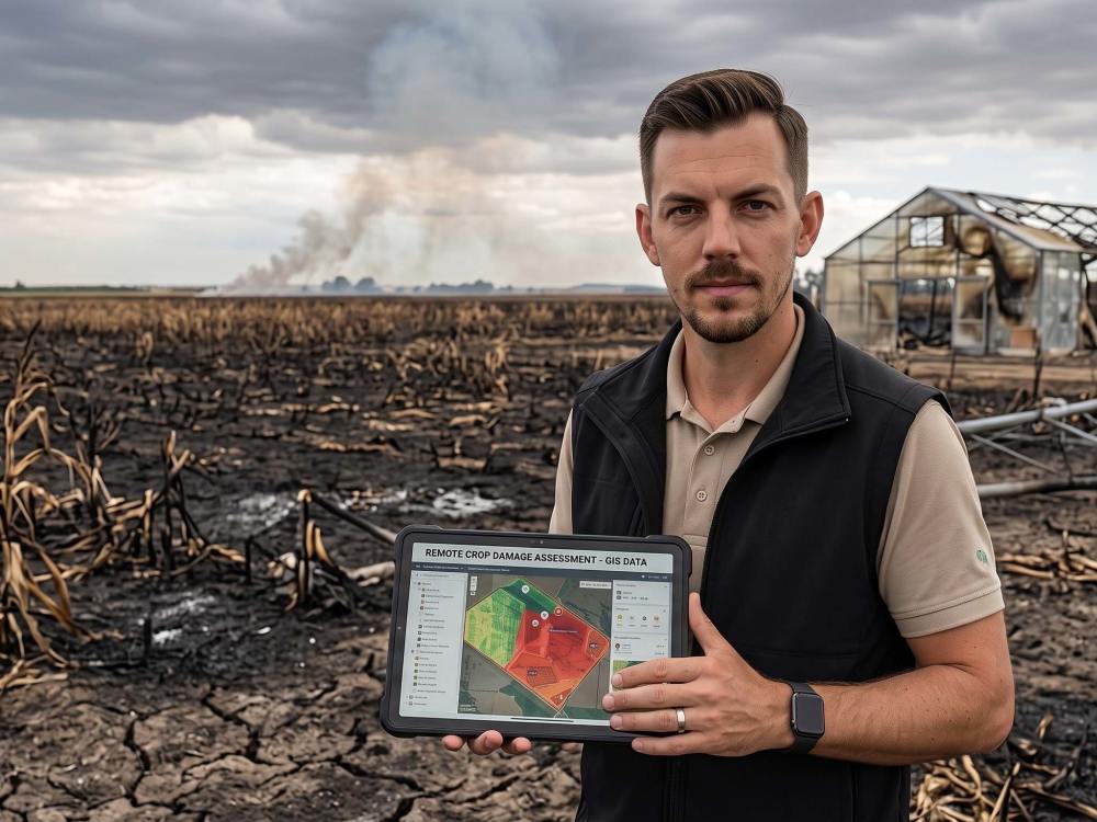
By utilizing Copernicus/Sentinel satellite imagery and regional weather archives, I accurately quantify damage caused by drought, frost, heatwaves, or hail. My workflow involves processing vegetation indices (NDVI, NDRE) before and after the event, correlated with the specific phenological stage of your crop.
You will receive a comprehensive, independent expert report that scientifically justifies the physiological damage and estimates the potential yield loss, ready to be used for insurance claims, dispute resolutions, or farm management.
By utilizing Copernicus/Sentinel satellite imagery and regional weather archives, I accurately quantify damage caused by drought, frost, heatwaves, or hail. My workflow involves processing vegetation indices (NDVI, NDRE) before and after the event, correlated with the specific phenological stage of your crop.
You will receive a comprehensive, independent expert report that scientifically justifies the physiological damage and estimates the potential yield loss, ready to be used for insurance claims, dispute resolutions, or farm management.
Document Type
ReportTopic
Engineering, Science, TechnologyLanguage
English, RomanianWhat's included
| Service Tiers |
Starter
$100
|
Standard
$250
|
Advanced
$500
|
|---|---|---|---|
| Delivery Time | 5 days | 7 days | 10 days |
Number of Revisions | 1 | 1 | 2 |
Consultation | - | - | |
Proofreading & Editing | |||
Additional Research | - | ||
References & Citations | - | ||
Formatted Style Guide | - | - |
Frequently asked questions
About Draghici
PhD Agricultural Engineer - Precision Agriculture, IoT Sensors & Data
Sibiu, Romania - 1:27 am local time
Knows IoT (Arduino/ESP/Raspberry Pi), QGIS, and UAV spatial analysis.
Full R&D project management from field data collection to software deployment.
Data-driven and objective communication to ensure scientific accuracy.
Steps for completing your project
After purchasing the project, send requirements so Draghici can start the project.
Delivery time starts when Draghici receives requirements from you.
Draghici works on your project following the steps below.
Revisions may occur after the delivery date.
Data & Agronomic Review
Analyzing your field boundaries, applied crop technology (fertilization, irrigation), and historical yield data to establish a baseline
GIS & Climate Processing
Extracting Sentinel/Copernicus satellite imagery and correlating your local weather records to pinpoint the exact abiotic stress event