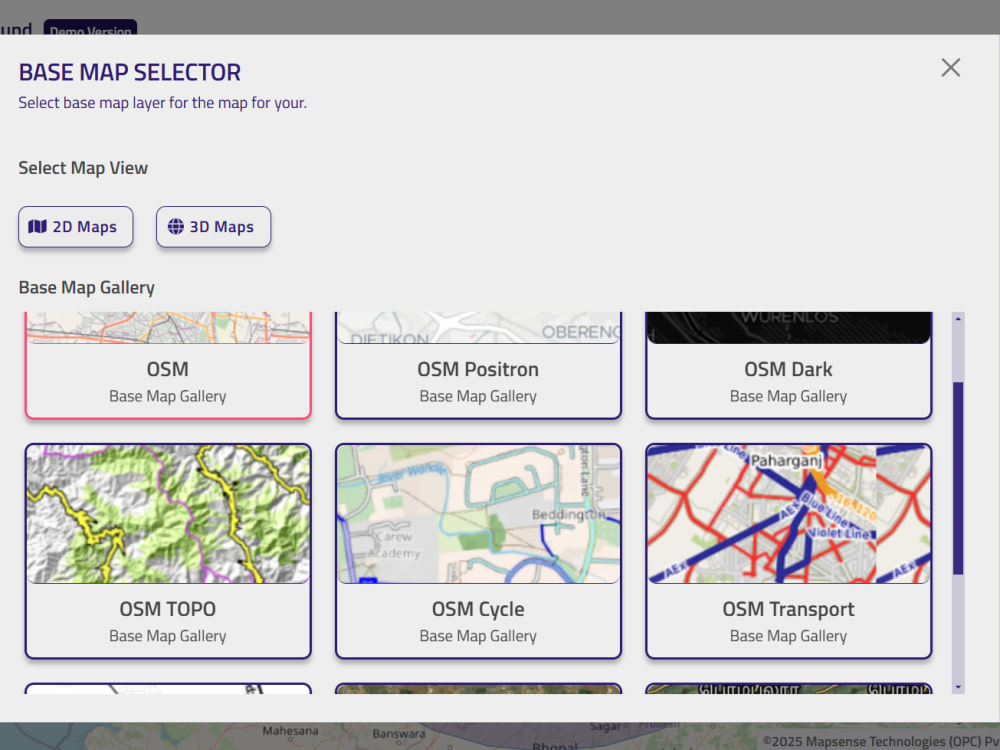
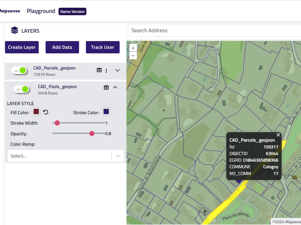
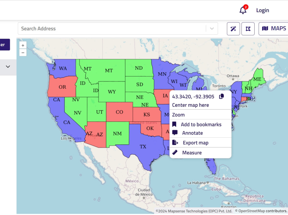
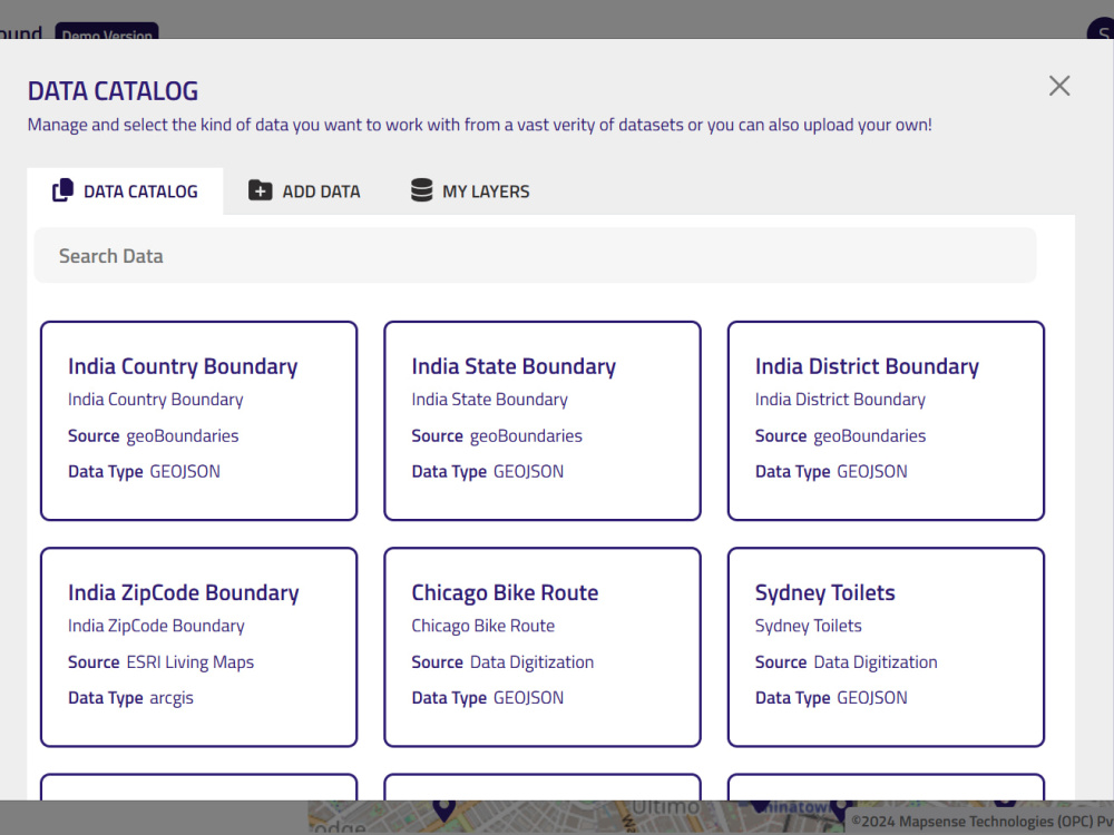
You will get web based Geospatial Mapping and editing software built using Openlayers

Project details
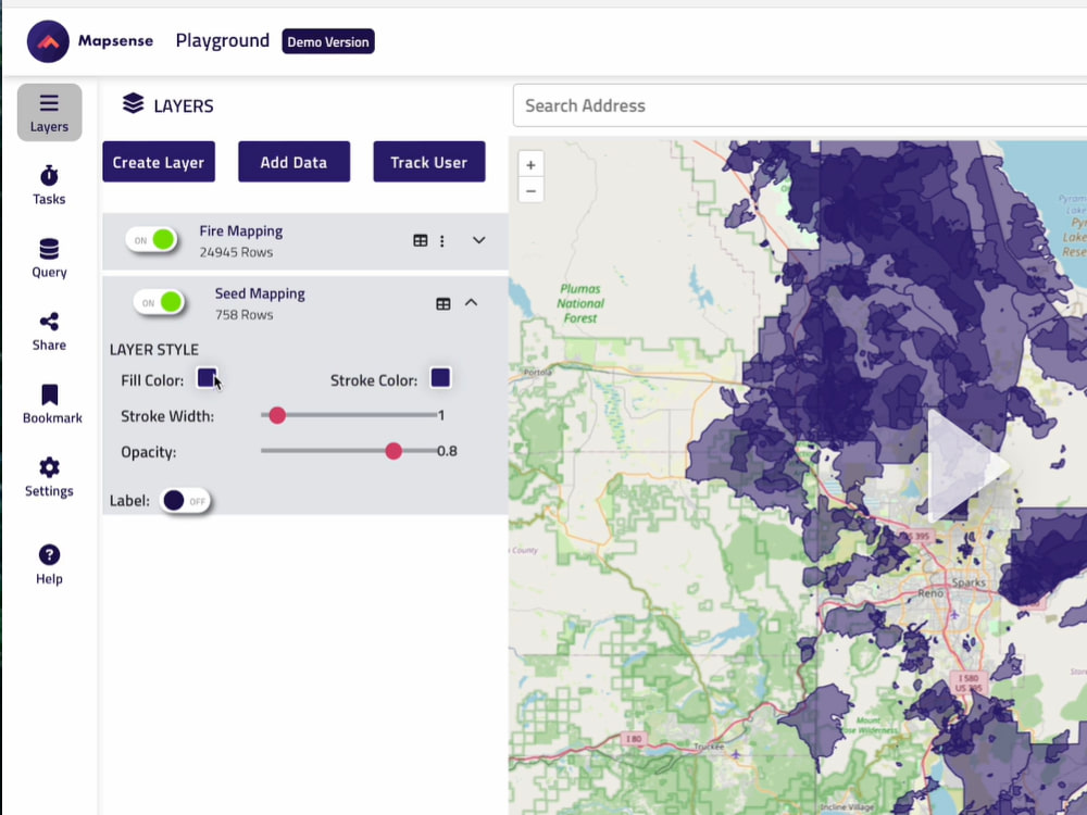
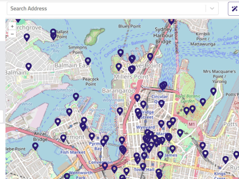
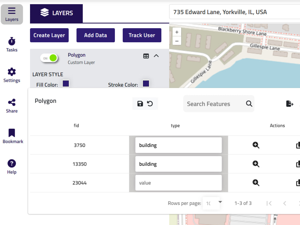
Playground is an intuitive, web-based geographic information system (GIS) that democratizes spatial data creation, visualization, and editing for businesses and organizations across multiple industries. The team has a combined experience on 20+ years in the field of Geospatial Application development
Programming Languages
JavaScript, TypeScriptCoding Expertise
Cross Browser & Device Compatibility, Performance OptimizationWhat's included
| Service Tiers |
Starter
$3,999
|
Standard
$12,000
|
Advanced
$32,000
|
|---|---|---|---|
| Delivery Time | 15 days | 30 days | 45 days |
Number of Revisions | 1 | 5 | 8 |
Number of Pages | 5 | 10 | 20 |
Design Customization | - | ||
Content Upload | - | ||
Responsive Design | |||
Source Code | - | - |
Optional add-ons
You can add these on the next page.
Additional Revision
+$100
Design Customization
(+ 5 Days)
+$200About Sachin
GIS Consultant | Geospatial Visualization
Gurgaon, India - 1:26 am local time
I have also worked on building modern GIS applications in area of real-time tracking, transit and location based services using cloud infrastructure on AWS and Google.
Summary of Skills:
• Web, Mobile and Desktop Application Development including offline applications
• GIS software (ArcGIS Pro, ArcGIS Runtime, ArcSDE, ArcPy, FME, QGIS, GeoServer, PostGIS, Geotools, Google Maps API, OSM/OSRM/OpenLayers/Leaflet, 3D Visualization using Cesium)
• QGIS Plugin Development
• ESRI Certified Database Administrator
• Carto Conversion, Geo-referencing, Geocoding, Reverse Geocoding, Realtime location tracking
• Technologies - Java, Spring, Python, Bootstrap, Javascript, Android, Firebase
• Windows, Linux, Google and AWS Cloud
• Project Management
Domains
Oil & Gas, Utilities, Telecom, Retail, Real Estate, Insurance, Government, Transportation, Environment
Steps for completing your project
After purchasing the project, send requirements so Sachin can start the project.
Delivery time starts when Sachin receives requirements from you.
Sachin works on your project following the steps below.
Revisions may occur after the delivery date.
Pre-Construction Phase
Discuss the customization requirements, scope, additional cost if any and timeline . Provide the Demo of existing software, define the next steps and share the implementation and payment plan