You will get a clean and presentable data for you or your business
Rising Talent

Rising Talent
Project details
you will get clean and well-edited data according to your specification. With my data entry skills, you will be proud to use my services. the work I deliver is 100% high quality and accurate.
Data Entry Type
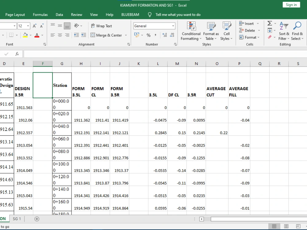
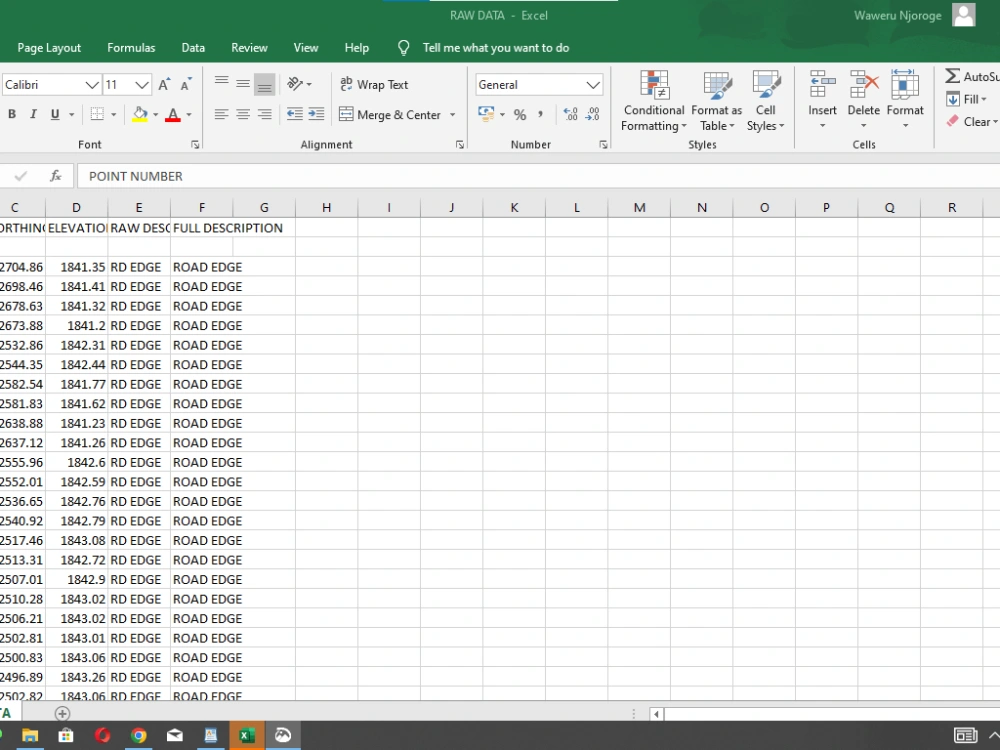
Copy Paste, Data Cleansing, Document Conversion, Error Detection, Online Research, Word ProcessingData Entry Tool
Google Docs, Google Sheets, Microsoft Excel, Microsoft Office, Microsoft WordWhat's included
| Service Tiers |
Starter
$10
|
Standard
$15
|
Advanced
$20
|
|---|---|---|---|
| Delivery Time | 1 day | 2 days | 3 days |
Formatting & Clean Up | |||
Graph & Table Creation | - |
Frequently asked questions
32 reviews
(32)
(0)
(0)
(0)
(0)
This project doesn't have any reviews.
WC
William C.
Jun 23, 2025
West 100th Ave SP
Work completed on time and within budget.
WC
William C.
Jun 23, 2025
South Carson Court ISP
Work completed on time and within budget.
WC
William C.
Jun 23, 2025
Gray Street ISP
Work completed on time and within budget.
WC
William C.
Jun 23, 2025
West Alameda ISP
Work completed on time and within budget.
WC
William C.
Jun 23, 2025
Nova Road ISP
Work completed on time and within budget.
About Daniel Waweru
Land Survey Draftsman | AutoCAD Civil 3D & Drone Mapping Expert
Nairobi, Kenya - 7:20 pm local time
With hands-on experience in AutoCAD, Civil 3D, GIS mapping, drone photogrammetry, and LiDAR processing, I transform raw field data into professional engineering deliverables that are ready for design, analysis, and implementation.
What I Offer
-Land Survey - Easements plat, Land survey plat, Improvement survey plat, ALTA/NSPS Land Title Survey, monument records
-Topographic & Cadastral Mapping - Detailed site maps with contours, profiles, and spot levels.
-Drone & Photogrammetry Mapping - Orthomosaics, 3D models, and high-resolution georeferenced outputs.
-Engineering Drafting - Roads, drainage, and structural layout drawings using AutoCAD & Civil 3D.
-GIS Data & Spatial Analysis - Digitisation, land-use mapping, and data annotation for planning.
Software Expertise
AutoCAD | Civil 3D | Pix4D | Agisoft Metashape | Microsoft project | Notion | Trello | Slack | Zoom | Microsoft Excel
Why Clients Choose Me
-Reliable, detailed, and technically accurate deliverables.
-Timely communication and adherence to project deadlines.
-Deep understanding of construction workflows, surveying standards, and engineering documentation.
Let’s Work Together
Whether you need a topographic survey drawing, engineering drawing, or drone mapping data processed into CAD deliverables, I can help you achieve accurate and professional results - on time and within budget.
Send me a message today to discuss how I can support your project.
Steps for completing your project
After purchasing the project, send requirements so Daniel Waweru can start the project.
Delivery time starts when Daniel Waweru receives requirements from you.
Daniel Waweru works on your project following the steps below.
Revisions may occur after the delivery date.
Submit the project
submit the project following the specifications of the client e.g word doc to pdf.