Cam isn't taking new orders for this project right now. Here are some similar projects to explore.
You will get a workable spatial file from a PDF map
Project details
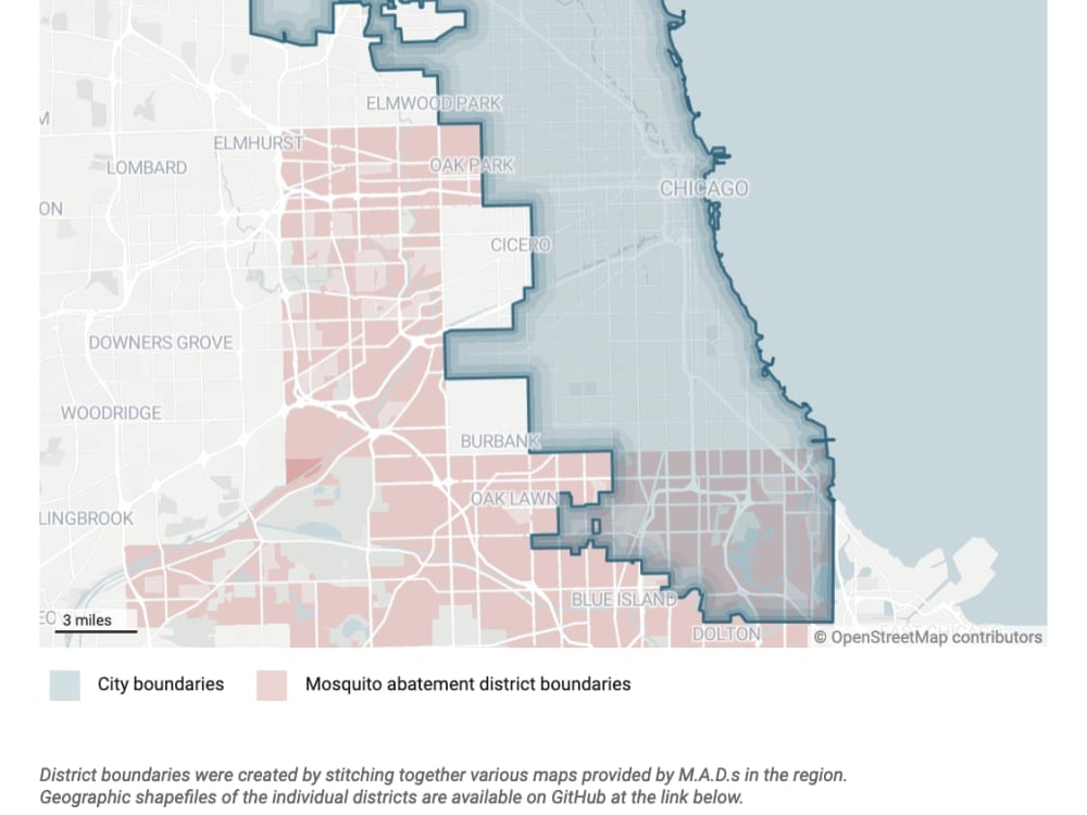
Not all maps are created equal, and oftentimes we run into maps in presentations, reports or signs that we need to work with! I'm a skilled cartographer and data journalist who often works with data that is hard to access — I'll happily take your PDF map and trace and convert the boundaries into the output file of your choice, so it's workable as a spatial dataset. Just let me know the PDF, the location itself (so it can be georeferenced) and your desired output, and I'll get cracking on the grunt work of converting it to a spatial dataset, so you don't have to.
Project Type
Data Entry, OtherWhat's included
| Service Tiers |
Starter
$150
|
Standard
0
|
Advanced
0
|
|---|---|---|---|
| Delivery Time | 5 days | 0 days | 0 days |
Number of Revisions | 1 |
Optional add-ons
You can add these on the next page.
Fast Delivery
+$50
Additional Revision
+$10
Additional map on different page
(+ 1 Day)
+$50Frequently asked questions
About Cam
Journalist / Archivist / Cartographer / Transcriber
Chicago, United States - 5:02 pm local time
Because of my data experience, I have experience with cartography and geographic information systems (GIS), as well as archival material transcription and data cleaning. I'm at ease with SQL, Python, Google CoLab, GitHub and version control, and other data cleaning and analysis processes.
As a journalist, I often work with audio transcription in my work, and am able to transcribe English language audio, as well as recordings from Spanish-speakers using English.
Steps for completing your project
After purchasing the project, send requirements so Cam can start the project.
Delivery time starts when Cam receives requirements from you.
Cam works on your project following the steps below.
Revisions may occur after the delivery date.
Data assessment and intake
Client sends the PDF or PPTX file, and I assess the complexity of the project and communicate any questions or needs to the client.
Processing and vectorization
I trace and convert the file into a workable spatial dataset in the output format of the client's choice. I'll typically work in .shp, and convert it to the desired format, but I can work in whatever the desired format is from the beginning.