You will get GIS datasets for your project (research and collect)
Project details
Whether you need data on roads, buildings, land use, population, elevation, or environmental features, I can help you locate, clean, and organize open GIS datasets that fit your specific area and purpose.
As a GIS & Open Data Specialist, I use trusted sources like OpenStreetMap, Copernicus, USGS, UN Data, Natural Earth, and OpenAerialMap to deliver accurate, high-quality geospatial data — ready for use in QGIS, ArcGIS, or Python.
What I Offer:
✅ Research and collection of open geospatial datasets
✅ Download and cleaning of vector & raster data (roads, buildings, DEM, etc.)
✅ Conversion to your preferred format: Shapefile, GeoJSON, KML, CSV, TIFF
✅ Metadata and data source documentation
✅ Optional data visualization or preview map in QGIS
✅ Support for regional, national or global datasets
Why Choose Me:
Experience in GIS, Remote Sensing and Spatial Analysis
Knowledge of open-source data portals and licensing compliance
Clear communication and fast delivery
Delivery-ready data organized with proper naming and coordinate systems.
Language
EnglishWhat's included $55
These options are included with the project scope.
- Delivery Time 3 days
- Number of Revisions 1
- Number of Hours of Work 10
- Summary
About Catalina-Georgiana
GIS & OSM Specialist | Cartographer
What I Can Do for You:
OSM Data Expertise: Extract, import, and edit all types of map features.
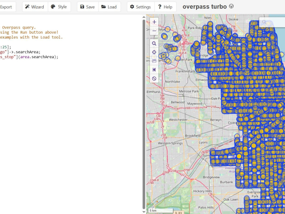
Custom Queries: Use Overpass Turbo or PostGIS to query, update, or manage spatial databases.
GIS Data Processing: Work with formats like .shp, .geojson, and others for analysis or integration.
Open Data Research: Find and collect open GIS data from multiple web sources.
Data Cleanup: Remove duplicates, fix typos, and standardize attributes for consistency.
Digitization & POI Updates: Research, add, and update Points of Interest (POIs) in OSM or other datasets.
Visualizations: Build interactive web maps, dashboards, or static graphics to showcase your data.
Spatial Analysis & QC: Perform in-depth spatial analysis and quality control of OSM or GIS datasets.
Tools & Tech:
QGIS, Overpass Turbo, PostGIS, PostgreSQL, DBeaver
GeoJSON, Shapefile, OSM XML, CSV
Web Map Dashboards & Data Visualization Tools
Steps for completing your project
After purchasing the project, send requirements so Catalina-Georgiana can start the project.
Delivery time starts when Catalina-Georgiana receives requirements from you.
Catalina-Georgiana works on your project following the steps below.
Revisions may occur after the delivery date.
Define Your Data Requirements
After you order the project, you will share: The location or region you need data for The type of GIS data you’re looking for Your required data format Any accuracy, licensing, or metadata requirements I confirm the scope before beginning research.
Identify Reliable Data Sources
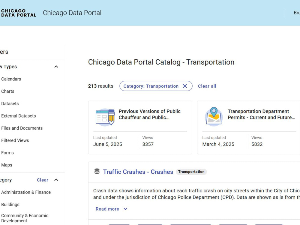
I search across reputable GIS and open-data platforms: National and regional government portals OSM & OSM-derived datasets Earth observation platforms Academic and NGO datasets International organizations Local open data portals for cities or states