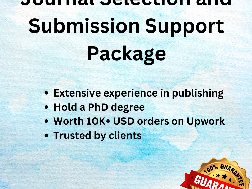
You will get journal selection and complete submission support
Project details
The most economical package is the "self-submission" package. In this package, I will deliver complete submission files, including a cover letter to the editor. You must make the submission yourself.
The "complete submission" package is the most advanced/premium service, in which I will take responsibility for all file preparation and submission.
The "complete submission" package is the most advanced/premium service, in which I will take responsibility for all file preparation and submission.
What's included
| Service Tiers |
Starter
$40
|
Standard
$80
|
Advanced
$125
|
|---|---|---|---|
| Delivery Time | 1 day | 2 days | 3 days |
Number of Revisions | 0 | 0 | 0 |
10 reviews
(9)
(1)
(0)
(0)
(0)
This project doesn't have any reviews.
JT
Jovana T.
Apr 26, 2026
Curate Places of Interest in mapping services
JB
Jean B.
Dec 21, 2023
Research/ Data gathering
KM
K M.
Jan 9, 2023
Help with process for bathymetric lake maps
Muhammad was a great freelancer to work with. Responsive, and a clear communicator. Highly recommend.
JS
Jeremy S.
Sep 28, 2022
Technical Article Writing Trial
AB
Andrea B.
Jun 6, 2022
You will get a GIS Maps visualization of your data
About Muhammad
Remote Sensing & GIS Analyst | Satellite Data | Spatial Analysis
Chofu, Japan - 5:20 pm local time
I help researchers, companies, and NGOs analyze satellite imagery and GIS data to produce accurate GIS maps, environmental insights, and decision-ready reports.
With a PhD in Remote Sensing and 7+ years of experience, I have completed 1000+ hours of GIS projects for 11 clients on Upwork.
💬 I am happy to review your dataset or project description before starting and suggest the best GIS approach for your project.
Services I Provide:
✔ GIS spatial analysis and modelling
✔ Satellite imagery analysis (Landsat, Sentinel, aerial imagery)
✔ Land-use / land-cover classification
✔ NDVI, NDWI, NDBI and other remote sensing indices
✔ Cartographic maps for publications and reports
✔ DEM and terrain analysis (watershed, slope, stream flow)
✔ Real estate and location suitability mapping
✔ Web GIS mapping using Leaflet and PostGIS
✔ GIS database development (PostGIS)
Software & Tools
• ArcGIS Pro / ArcGIS Desktop / ArcGIS Online
• QGIS
• Google Earth Engine
• ENVI & ERDAS Imagine
• PostgreSQL / PostGIS
• PowerBI & Alteryx
Why Clients Work With Me:
✔ PhD-level expertise in GIS & remote sensing
✔ 1000+ hours of successful Upwork projects
✔ Experience with research, environmental, and mapping projects
✔ Clear communication and reliable delivery
Steps for completing your project
After purchasing the project, send requirements so Muhammad can start the project.
Delivery time starts when Muhammad receives requirements from you.
Muhammad works on your project following the steps below.
Revisions may occur after the delivery date.
Journal search
I will find journals indexed in various reputed databases including Scopus, Web of Science, PubMed etc. I will deliver a complete report.