You will get GIS,BIM integration for infrastructure, urban planning and site context
Project details
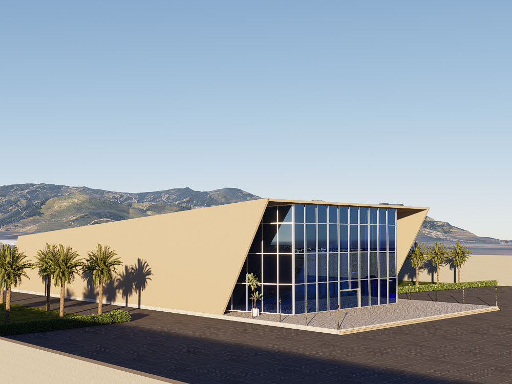
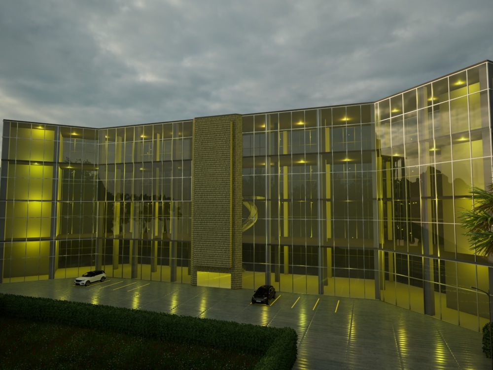
As a specialized GIS and BIM Specialist, I help engineers, infrastructure developers and public works agencies bridge the gap between geographic reality and engineering design. By integrating spatial data (GIS) with detailed BIM Models, I provide highly accurate site context that reduces earthwork costs, prevents underground utility clashes, and streamlines the planning of roads and bridges.
What You Get:
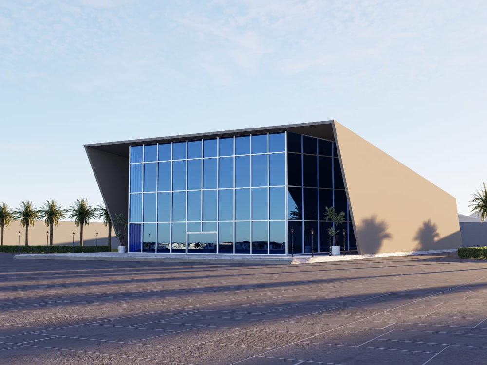
Accurate Existing Conditions Modeling: Generation of highly accurate 3D site terrains, topography, and surrounding geographical features using LIDAR, DEMs, and GIS data to serve as the foundation for your BIM and Architectural projects.
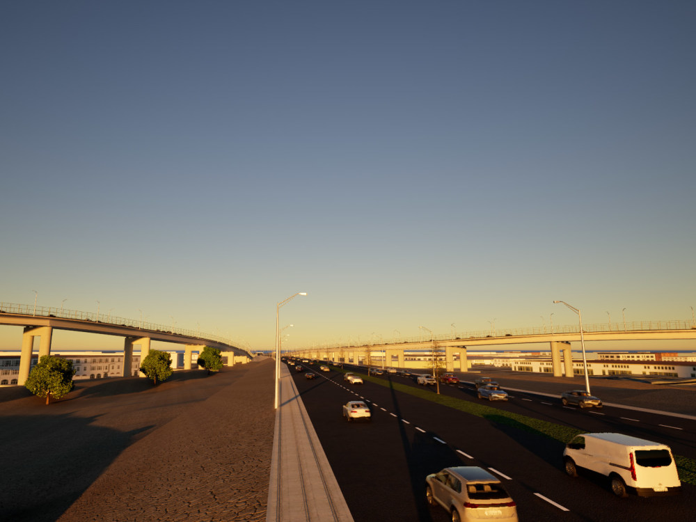
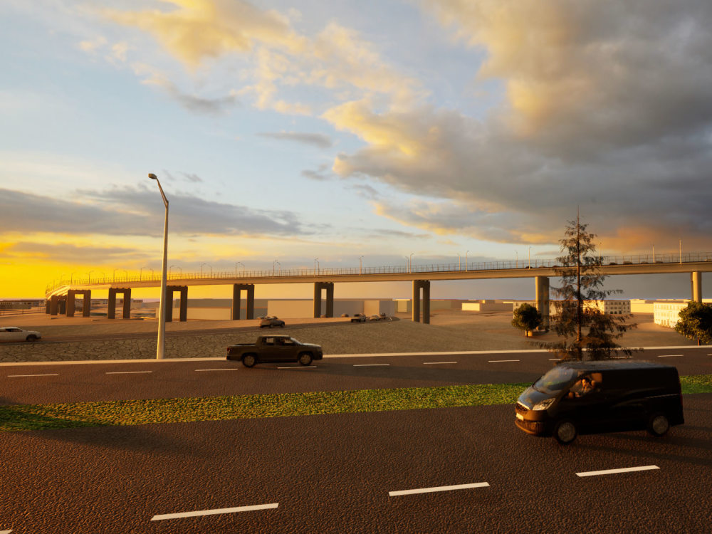
Infrastructure & Alignment Mapping: Precise georeferencing of civil infrastructure (rail, roads, pipelines) to ensure your design perfectly aligns with real-world coordinates.
Smart City Data Integration: Integrating datasets such as population density, traffic flow, and zoning directly into your BIM environment to inform data-driven design decisions.
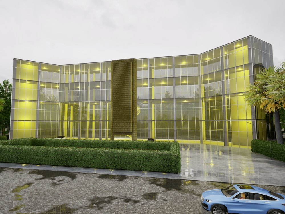
Interactive Digital Twins: Delivering combined infrastructure models in navigable 3D environments for stakeholder presentations and public approvals.
Please send me a message before placing an order.
What You Get:
Accurate Existing Conditions Modeling: Generation of highly accurate 3D site terrains, topography, and surrounding geographical features using LIDAR, DEMs, and GIS data to serve as the foundation for your BIM and Architectural projects.
Infrastructure & Alignment Mapping: Precise georeferencing of civil infrastructure (rail, roads, pipelines) to ensure your design perfectly aligns with real-world coordinates.
Smart City Data Integration: Integrating datasets such as population density, traffic flow, and zoning directly into your BIM environment to inform data-driven design decisions.
Interactive Digital Twins: Delivering combined infrastructure models in navigable 3D environments for stakeholder presentations and public approvals.
Please send me a message before placing an order.
Field of Expertise
OtherBIM Software
Autodesk Revit, Autodesk Civil 3D, OtherFile Format
RVT, RFA, DWG, FBX, OtherWhat's included
| Service Tiers |
Starter
$50
|
Standard
$80
|
Advanced
$100
|
|---|---|---|---|
| Delivery Time | 2 days | 2 days | 4 days |
Number of Revisions | 2 | 2 | 2 |
Number of 2D Drawings | 0 | 0 | 0 |
Level of Detail | 1 | 2 | 3 |
Number of Renderings | 2 | 4 | 6 |
Design Analysis | - | - | - |
Architectural Walkthrough | - | - | |
Native BIM Source Files | - | - | - |
Model Audit & Verification | - | - | - |
1 review
(0)
(1)
(0)
(0)
(0)
This project doesn't have any reviews.
NU
Nishant U.
Oct 30, 2024
Convert Picture Map to Enhanced 2D Map with Legends
About Rupesh
Drone, LiDAR Survey to CAD | GIS | BIM | 3D Terrain Expert
Pokhara, Nepal - 9:00 pm local time
I specialize in processing photogrammetry and LiDAR data to create precise 3D topography and immersive terrain models tailored for engineering, architecture, and real-time visualization.
Whether you are an urban planner needing a real-world site context, a developer requiring realistic environments in Unreal Engine, or a surveyor looking to translate geospatial data into actionable models, I provide end-to-end 3D solutions.
What I Bring to Your Project:
LiDAR & Photogrammetry Processing: Expertly converting raw spatial data, aerial imagery, and point clouds into clean, accurate CAD topography, Digital Elevation Models (DEM/DTM) and detailed 3D meshes.
High-Fidelity 3D Terrain Modeling: Building realistic, optimized terrain and landscape simulations using Unreal Engine, Blender, and Autodesk 3ds Max for seamless integration into your specific workflow.
Geospatial Accuracy: Ensuring all topography is rooted in precise geographic coordinates and spatial logic using industry-standard tools like ArcGIS and QGIS.
BIM & Architectural Context: Integrating generated terrains directly with Building Information Modeling (BIM) workflows (like Revit) to visualize urban planning, architectural and infrastructure projects using Lumion and Twinmotion.
My Software Toolkit:
Data Processing & GIS: ArcGIS, QGIS, Pix4Dmapper
3D Modeling & Rendering: Blender, Autodesk 3ds Max, Autodesk Revit, Lumion, Twinmotion
Real-Time Engines: Unreal Engine
I am dedicated to delivering models that are not only visually striking but technically flawless and geographically precise. Let's transform your raw spatial data into an interactive, high-quality 3D reality.
Steps for completing your project
After purchasing the project, send requirements so Rupesh can start the project.
Delivery time starts when Rupesh receives requirements from you.
Rupesh works on your project following the steps below.
Revisions may occur after the delivery date.
What is your workflow?
You must provide me the 3d model or ask me to create. Next, I'll geolocate and add context to the model. Then, I'll add realism to the model by photorealistic rendering.