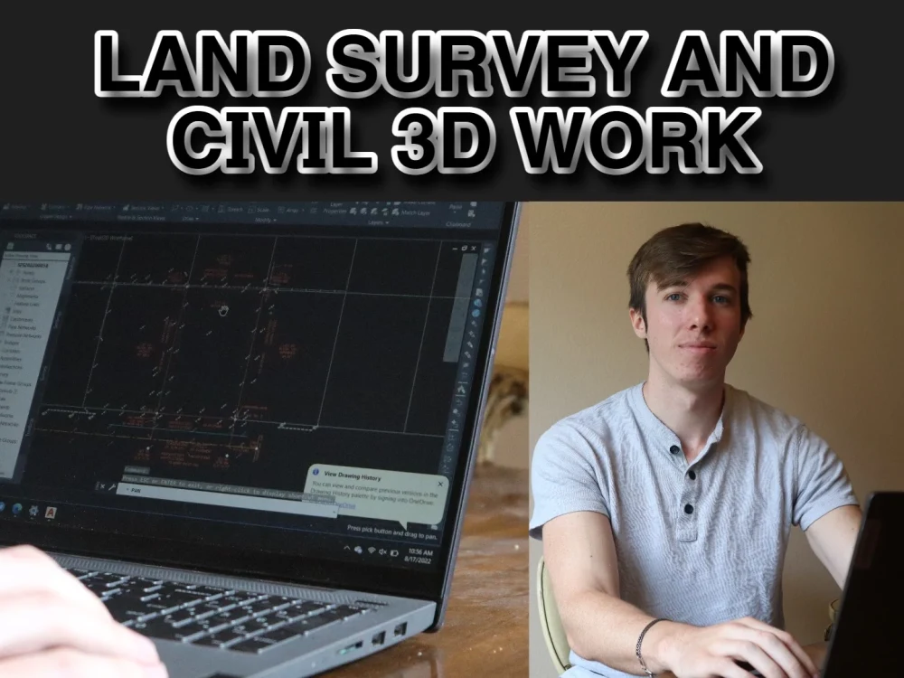
You will get a fully drafted boundary topo survey made in autocad civil 3d

Project details
I will Draft a land survey drawing using GPS data that you have given to me. I can create it using a template that you currently use or a custom full color or black and white drawing sheet. Please make sure to include all necessary information for me to start and complete the job. This will be drafted in Autocad Civil3D or can be done in Carlson survey software.
Field of Expertise
OtherBuilding Type
CommercialBIM Software
Autodesk Civil 3DFile Format
DWGWhat's included
| Service Tiers |
Starter
$100
|
Standard
$150
|
Advanced
$350
|
|---|---|---|---|
| Delivery Time | 3 days | 3 days | 5 days |
Number of Revisions | 2 | 2 | 2 |
Optional add-ons
You can add these on the next page.
Additional Revision
+$25Frequently asked questions
About Jasen
Land Survey CAD Designer with Civil 3D experience
Orlando, United States - 2:42 pm local time
Some highlights of my work include:
• Running a successful CAD agency generating $50k per month in revenue, coaching individuals on CAD software utilization, while also guiding clients in overcoming obstacles and optimizing outcomes through personalized land survey consulting, leveraging my expertise in Geomatics, topographic surveys, boundary surveys, and ALTA surveys.
• Proficiently managing client relationships and coordinating projects, I provided expert drafting guidance using CAD software such as AutoCAD Civil 3D and Carlson, ensuring accurate and efficient survey designs.
• Offering comprehensive training and consultancy services, I facilitated the implementation of advanced surveying techniques and technologies, resulting in improved efficiency and client satisfaction.
I thrive on opportunities to apply my expertise in Geomatics and Land Surveying to create innovative solutions that drive business growth while meeting client needs.
If you want to make a change today and how I can get you to earn more money with CAD, reach out to me here
Steps for completing your project
After purchasing the project, send requirements so Jasen can start the project.
Delivery time starts when Jasen receives requirements from you.
Jasen works on your project following the steps below.
Revisions may occur after the delivery date.
Completed Survey Draft
The survey will be drafted and sent with a PDF with a watermark for review
Revisions
The client will ask for the allotted revisions to the drawing and they will be completed before final review and approval of the project