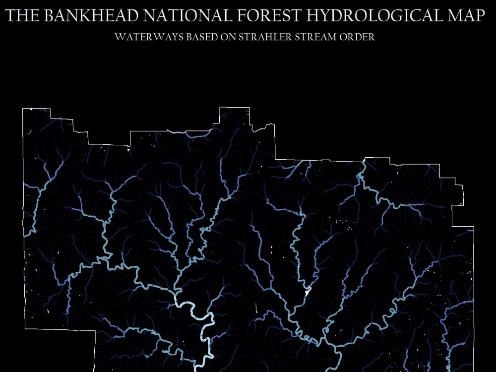
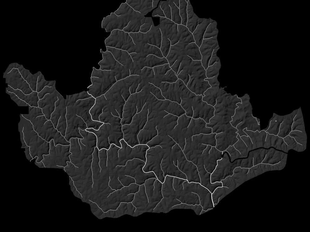
You will get a stunning hydrological map for any area of your choice.
Top Rated
Project details
These hydrological prints can not only be delivered to you as a high-resolution image but if you so choose I can provide the prints as wall art, on mugs, cups, tote bags, magnets, shirts and many other options.
Service Type
OtherPurpose
Marketing, Analysis, ResearchPresentation Software
OtherIndustry
Agriculture, Art & Design, Data Analytics, Engineering, Environmental, Government & Public Sector, Marketing & Advertising, Real Estate, Travel & TourismLanguage
EnglishFile Format
PDF, JPG, PNGWhat's included
| Service Tiers |
Starter
$50
|
Standard
$75
|
Advanced
$100
|
|---|---|---|---|
| Delivery Time | 1 day | 1 day | 2 days |
Number of Revisions | 1 | 1 | 2 |
Consultation | - | - | - |
Charts & Graphs | |||
Infographic | - | - | - |
Slide Animation | - | - | - |
Slide Transition | - | - | - |
Source Files | - | - | - |
Visual Materials |
Optional add-ons
You can add these on the next page.
Fast Delivery
+$10
Additional Revision
+$10
93 reviews
(84)
(4)
(3)
(1)
(1)
This project doesn't have any reviews.
PR
Paul R.
May 19, 2026
Geospatial Mapping of US Oil & Gas Data
Great experience working w/ Paul.
KM
Klayton M.
May 11, 2026
Esri ArcGIS mapper
Paul was terrific to work with, but ghosted us.
LT
Laser Map Maker T.
Feb 26, 2026
Inland Bathymetric Datasets
Outstanding GIS expertise and a pleasure to work with. He communicated clearly throughout the project, understood our goals, and delivered precise, high-quality results. We’re extremely satisfied and would gladly hire him again.
CR
Christopher R.
Feb 6, 2026
Research Oil Spill Maps
Paul is great! Skilled, responsive, and friendly. Working with Paul was a treat and led to a better-than-expected product. Highly recommend.
NL
Nahmias-Leonard L.
Jan 30, 2026
Geospatial and Data Analysis for Solar PV Project Siting in Ontario, Canada
Paul seemed good technically, but unfortunately only seemed to dabble in the project, without really ever pushing it forward. I found myself constantly asking him if he could please make time to work on the project. After charging 80h and with no real progress, he mentioned he couldn't continue working (due to a personal emergency, which is understandable). Nonetheless, I'm stuck having to retrain another consultant to do the work and wasted money and time.
About Paul
GIS database developer, basemap and topography editor, data conversion
92%
Job Success
Lebanon, United States - 7:03 pm local time
Many successful projects for Federal, State, County and Local government entities (USDA, USGS, BLM, USFS, States of Michigan, Alabama, Florida, Texas, Washington,... and numerous County Tax Accessors and GIS/Engineer divisions.
Predominate experience in ESRI ArcGIS, QGIS, Global Mapper, QCoherent, ENVI, ERDAS, Autodesk,... Tasks include Geodatabase development, cartographic design, LiDAR 3D modeling and analysis, topographic design, orthophotography,...
Work with many clients from the real estate industry, renewable energies sector, O&G, land use planning, hydrological studies, environmental and civil engineering and research and development.
I love the outdoors and maps n general. Always looking to utilize my artistic talents by creating maps for clients or for myself. Blending topographic, elevation and hydrological maps with a variety of themes is my passion. I have some of my work posted here.
I look forward to talking with people who need help or want to learn more about GIS and the geospatial industry.
Steps for completing your project
After purchasing the project, send requirements so Paul can start the project.
Delivery time starts when Paul receives requirements from you.
Paul works on your project following the steps below.
Revisions may occur after the delivery date.
Derive and process hydrological data.