You will get aerial survey & Mapping (on-site) using drone & GNSS RTK System
Project details
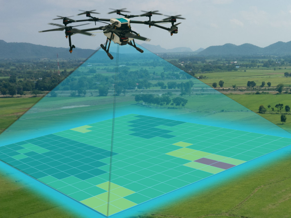
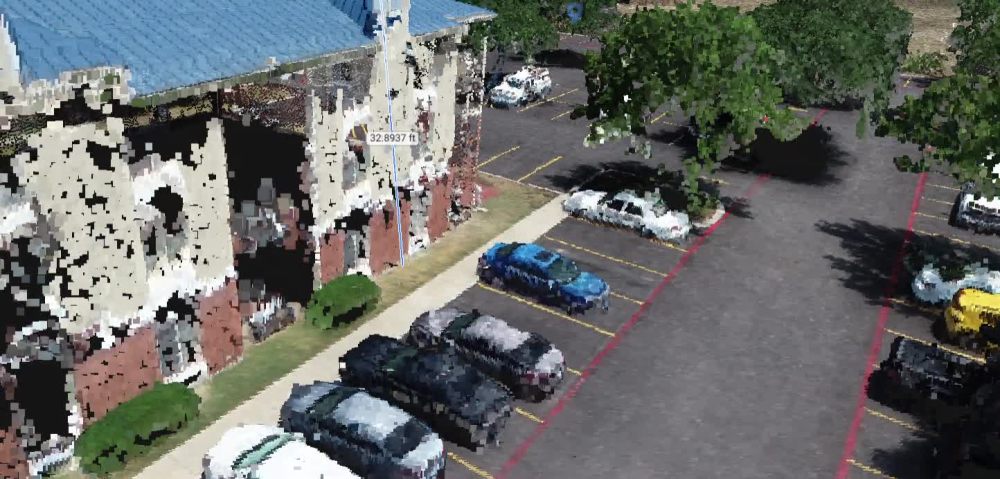
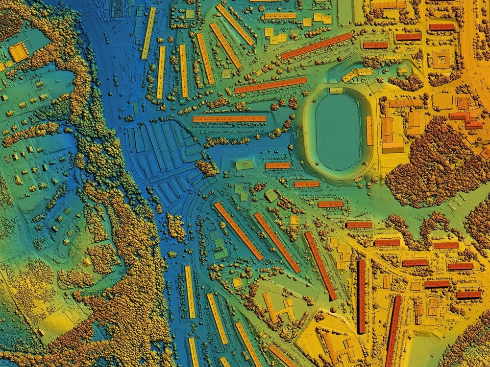
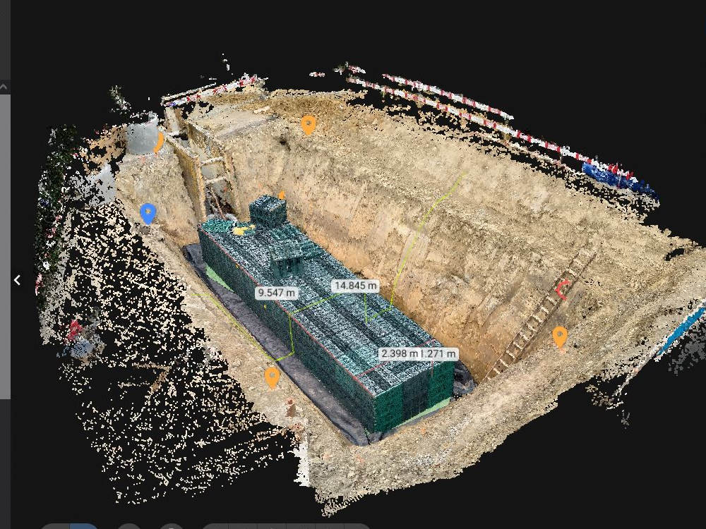
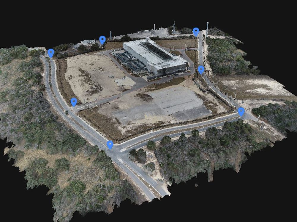
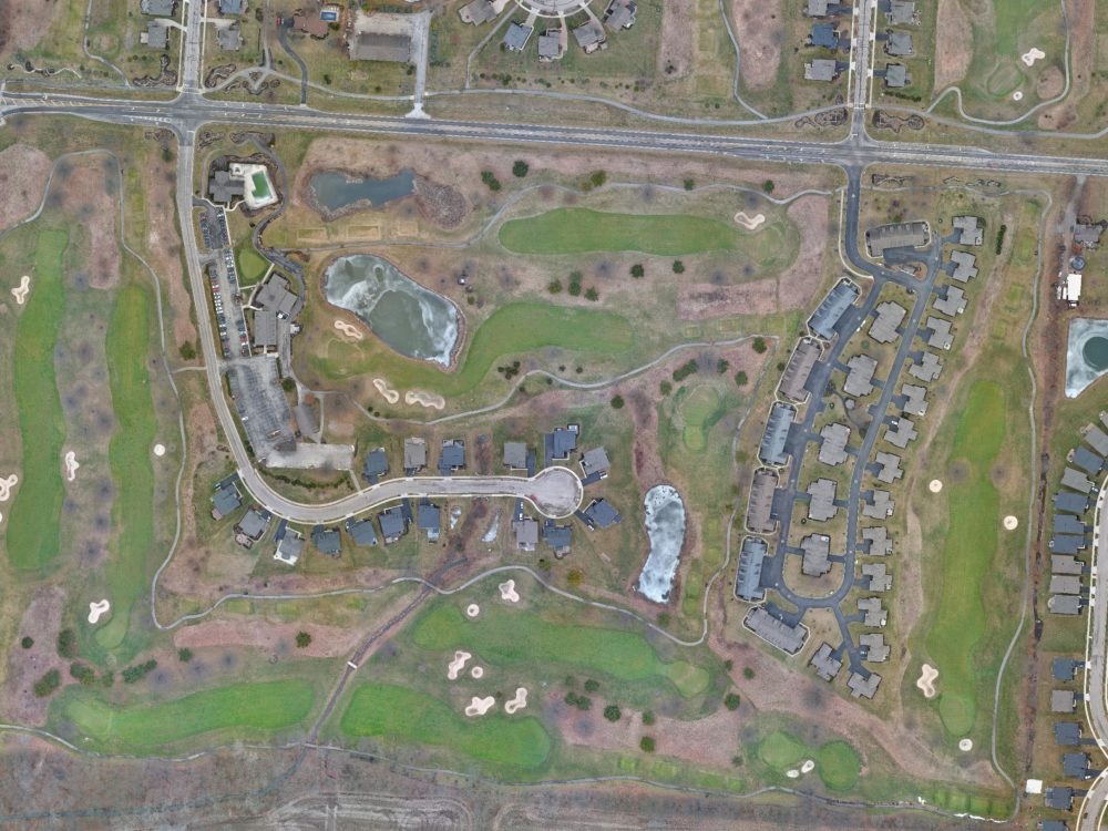
We capture high-resolution aerial imagery for your project within a two-hour drive of Jacksonville, FL. Our team handles every aspect, from drone flights to data processing, ensuring the delivery of top-quality, ready-to-use data. You will receive super-resolution imagery (1–5 cm accuracy), 3D point clouds, contours, grids, slope analysis, and more, tailored to meet your project’s needs.
Photography Type
Aerial PhotographyWhat's included
| Service Tiers |
Starter
$500
|
Standard
$900
|
Advanced
$1,500
|
|---|---|---|---|
| Delivery Time | 4 days | 5 days | 6 days |
Number of Revisions | 2 | 2 | 2 |
Retouching | |||
Commercial Use |
Optional add-ons
You can add these on the next page.
Ground Control Points
+$250
Building Heights Extraction
+$10
Professional Map
+$100About Moe
Aerial Surveying, Mapping & GIS | Surveyor | Drone Pilot | RTK GPS
Middleburg, United States - 5:22 pm local time
I use industry-leading equipment and advanced GIS tools to deliver accurate, map-accurate results for any project. Whether it’s capturing stunning aerial visuals or processing detailed maps for analysis, I’ve got you covered!
I offer a wide range of services:
- Aerial photography for real estate, commercial projects, and marketing
- Orthomosaic imagery for detailed site inspections, planning, and spatial analysis
- High-precision GNSS RTK/PPK mapping for survey-grade accuracy
- GIS services including data analysis, mapping, and spatial modeling
- Survey-grade GPS with 6K Sony camera for both cinematic photography and precision mapping
Using survey-grade drones and survey-grade GPS systems, I ensure precision and accuracy in every map and photo. I can create everything from detailed topographic maps to GIS models and site visualizations, all tailored to meet your specific needs.
Why choose me?
- Top-tier equipment: I use survey-grade drones and GNSS RTK/PPK systems for the most accurate data and imagery
- Expert in GIS & mapping: I have extensive experience in spatial data analysis and mapping, and can create detailed 3D models, topographic maps, and site plans
- Creative and technical proficiency: I combine aesthetic photography with technical mapping to deliver results that both look great and provide valuable data
- Efficient delivery: Fast turnaround with cloud-based file sharing for easy access to your images and maps
- FAA-certified: I fly legally, safely, and in compliance with all regulations
Whether you need aerial imagery, detailed mapping, or advanced GIS services, I’m here to help bring your projects to life with precision and professionalism. Let’s elevate your project to the next level!
Steps for completing your project
After purchasing the project, send requirements so Moe can start the project.
Delivery time starts when Moe receives requirements from you.
Moe works on your project following the steps below.
Revisions may occur after the delivery date.
Research
Our first step is to coordinate with the client to schedule their preferred flight day, confirm site access, assess airspace restrictions, and conduct a weather check to ensure optimal conditions for the mission.
Field Work
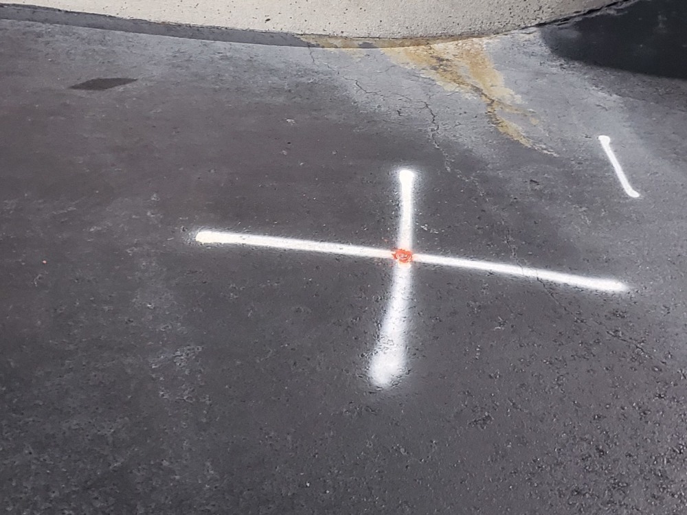
We capture high-resolution aerial imagery for your project.