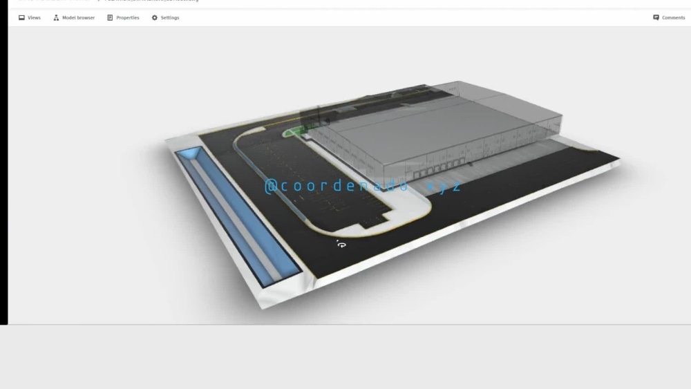
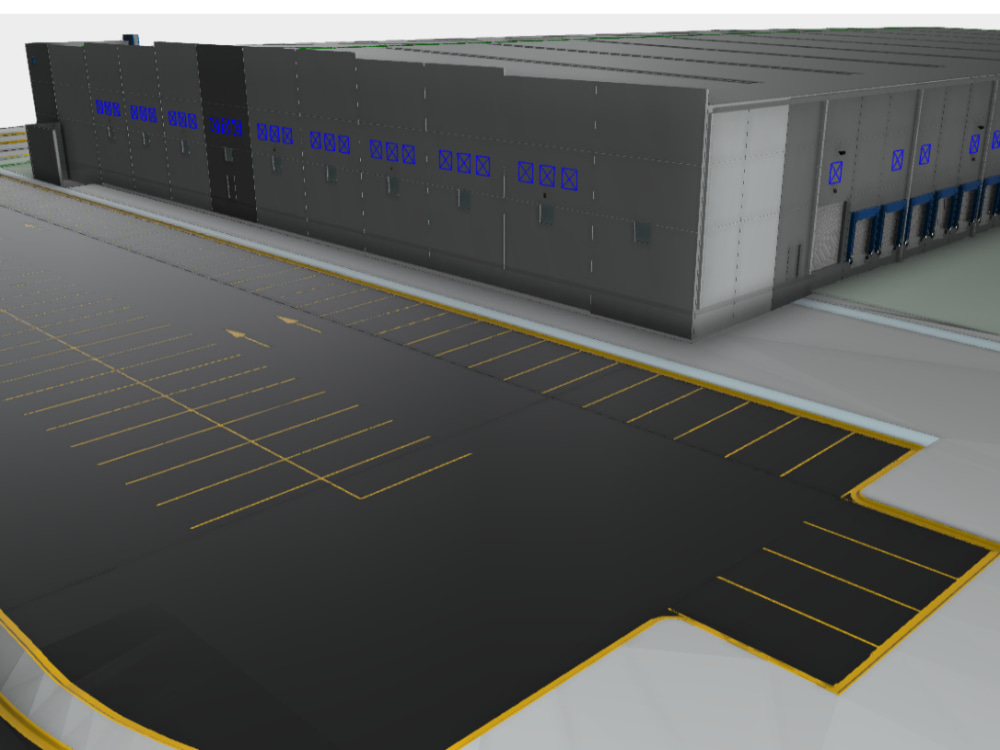
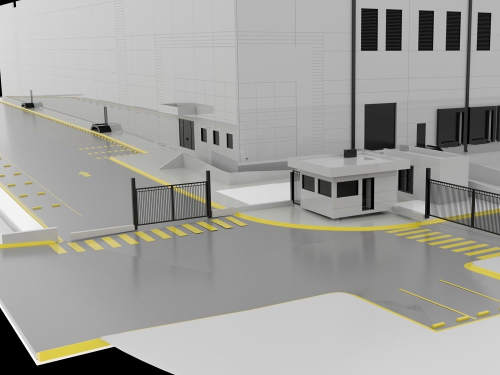
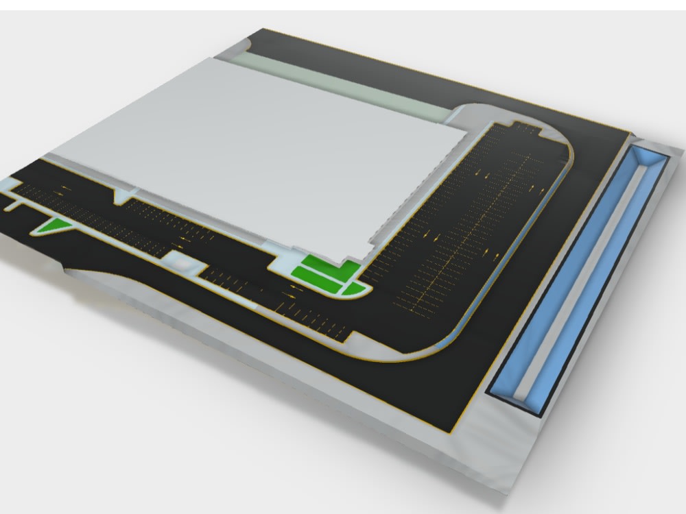
You will get Civil 3D infraestucture model from any 2D design.
Top Rated
Top Rated
Project details
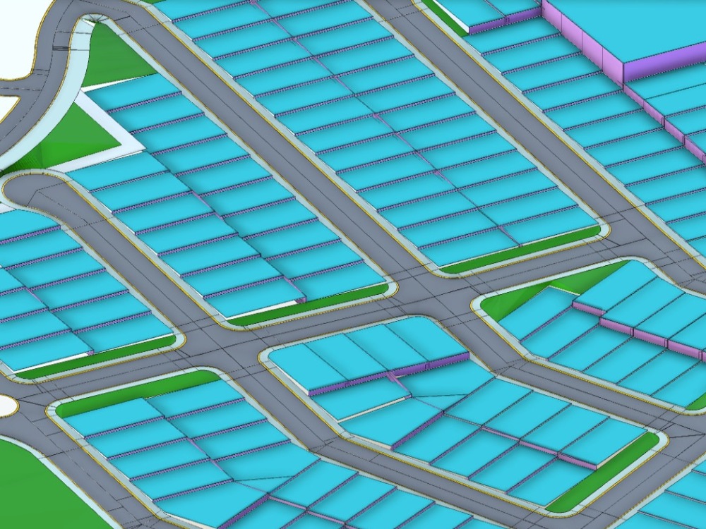
Your 2D road infrastructure design for an industrial warehouse or residential lots will be converted into a 3D/BIM model at LOD 200. This includes roadways, sidewalks, green areas, and building pads.
You will receive a 3D model in DWG or IFC format, which can be used in software such as Revit, AutoCAD, Navisworks, or other BIM programs that accept these models.
You will receive a 3D model in DWG or IFC format, which can be used in software such as Revit, AutoCAD, Navisworks, or other BIM programs that accept these models.
Field of Expertise
OtherBuilding Type
IndustrialBIM Software
Dynamo Studio, Autodesk AutoCAD, Autodesk Civil 3DFile Format
DWG, IFC, FBXWhat's included
| Service Tiers |
Starter
$50
|
Standard
$140
|
Advanced
$250
|
|---|---|---|---|
| Delivery Time | 4 days | 4 days | 4 days |
Number of Revisions | 1 | 2 | 3 |
Optional add-ons
You can add these on the next page.
Fast Delivery
+$30 - $120Frequently asked questions
4 reviews
(4)
(0)
(0)
(0)
(0)
This project doesn't have any reviews.
DS
Dustin S.
Mar 10, 2026
Civil 3d Cad Tech/Designer/Manager
Alejandro was outstanding to work with. He is extremely talented, detail-oriented, and professional. The quality of his work was excellent, and he was responsive, easy to communicate with, and reliable throughout the process. He clearly knows what he is doing and takes pride in delivering a strong final product. I would gladly work with him again and highly recommend him.
DS
Dustin S.
Feb 17, 2026
Civil 3d Cad Tech/Designer/Manager
Alejandro is one of the best people i've had the pleasure of working with. Looking forward to many more projects with him. He's thorough, hardworking and takes pride in his work.
JM
Joseph M.
Dec 15, 2023
Processing could point data for Civil 3D
JB
Jordan B.
May 13, 2023
Civil Designer/Engineer Needed-Autodesk Civil3D
Alejandro is a great guy to work with! He's responsive, readily available, great with follow-up and making revisions, and made sure that everything was done perfectly and as quickly as possible. I'll definitely be working with him long term on many more projects.
About Alejandro
Lidar Processing Specialist
100%
Job Success
Monterrey, Mexico - 2:05 am local time
In my professional career, I had the opportunity to lead the reality capture department at a company, where we primarily operated terrestrial 3D scanners. I worked both in the field and in the office, which allowed me to develop skills in point cloud registration, data cleaning, coordinate conversion, sampling, georeferencing, vector extraction (contour lines, breaklines, points), LAS classification, and more.
I also created and exported point clouds for my colleagues to use in Revit modeling or for my own use in tasks like extracting terrain surfaces in Civil 3D or creating corridors.
I've worked on projects involving over 2500 scans, including areas such as airports, hospitals, shopping centers, industrial warehouses, residential properties, roads, and overpasses.
Please feel free to reach out if you have any further questions or need more information about my professional experience.
Steps for completing your project
After purchasing the project, send requirements so Alejandro can start the project.
Delivery time starts when Alejandro receives requirements from you.
Alejandro works on your project following the steps below.
Revisions may occur after the delivery date.
A DWG
file containing a vectorized "site plan or layout", this plan will indicate the project's elevations through dimensions