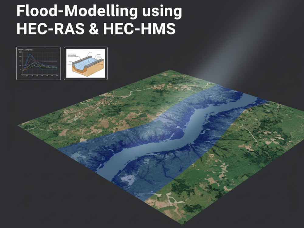
You will get Flood-Modelling using HEC-RAS and HEC-HMS
Top Rated
Top Rated
Project details
Need accurate flood modeling for your project? Look no further!
I provide comprehensive and precise flood modeling services using my expertise in HEC-RAS and HEC-HMS. As a Top Rated Plus professional, my goal is to deliver reliable solutions that meet your exact requirements.
My services include:
Detailed Modeling: Creating accurate flood models that account for various hydrological and hydraulic factors.
Custom Analysis: Tailored flood analysis, including rainfall-runoff modeling, river flow simulation, and floodplain mapping to fit your specific needs.
Professional Reporting: Delivering clear, concise reports with all relevant data and model results, perfect for stakeholders and decision-makers.
High-Quality Visuals: Generating detailed maps and visual representations of flood scenarios to help you understand and communicate potential impacts effectively.
Expert Recommendations: Providing actionable insights to support your flood risk management and mitigation strategies.
My process ensures a seamless experience, from data collection to final report delivery, giving you the confidence to manage flood risk effectively.
I provide comprehensive and precise flood modeling services using my expertise in HEC-RAS and HEC-HMS. As a Top Rated Plus professional, my goal is to deliver reliable solutions that meet your exact requirements.
My services include:
Detailed Modeling: Creating accurate flood models that account for various hydrological and hydraulic factors.
Custom Analysis: Tailored flood analysis, including rainfall-runoff modeling, river flow simulation, and floodplain mapping to fit your specific needs.
Professional Reporting: Delivering clear, concise reports with all relevant data and model results, perfect for stakeholders and decision-makers.
High-Quality Visuals: Generating detailed maps and visual representations of flood scenarios to help you understand and communicate potential impacts effectively.
Expert Recommendations: Providing actionable insights to support your flood risk management and mitigation strategies.
My process ensures a seamless experience, from data collection to final report delivery, giving you the confidence to manage flood risk effectively.
Field of Expertise
OtherBuilding Type
ResidentialBIM Software
Autodesk Civil 3D, SketchUp, OtherFile Format
DWG, OtherWhat's included
| Service Tiers |
Starter
$50
|
Standard
$150
|
Advanced
$300
|
|---|---|---|---|
| Delivery Time | 5 days | 7 days | 10 days |
Number of Revisions | 0 | 0 | 0 |
17 reviews
(16)
(1)
(0)
(0)
(0)
This project doesn't have any reviews.
TA
Trudy A.
Feb 23, 2026
Remote Sensing & GIS Specialist – NDVI & NDMI Mapping for Coastal Land
I had a very positive experience working with Budi on this project. He delivered work to a high standard, demonstrated strong attention to detail, and was highly responsive to feedback, implementing revisions thoughtfully and accurately. His commitment to quality and excellence was evident throughout the process, and the final outcome fully met my requirements.
Budi is professional, reliable, and easy to collaborate with. I would confidently recommend him to anyone looking for trustworthy support and high-quality results.
Budi is professional, reliable, and easy to collaborate with. I would confidently recommend him to anyone looking for trustworthy support and high-quality results.
TJ
Thomas J.
Jan 29, 2026
Flood Analysis Using Hec RAS dan Hec HMS
Fantastic work, very helpful and gave us exactly what we needed. Couldn't be happier.
TJ
Thomas J.
Sep 28, 2025
Flood Analysis
Fantastic job, everything we were looking for on flood analysis for our commercial property.
CJ
Corey J.
May 26, 2025
Hydrologic/Hydraulic Flood Study, Drainage Area Map, and Report
Great to work with and incredibly detailed!
VS
Vidushi S.
Apr 21, 2025
mini project on Remote sensing ENVI
About Budi Prasetyo
GIS & RS Specialist, Photogrammetries, Hydrologist, WebGIS Developer
100%
Job Success
Depok, Indonesia - 9:59 am local time
Looking for an expert in GIS, Remote Sensing, Hydrology, or Geomatics to elevate your project? You’re in the right place! With 8+ years of experience and a Top Rated Plus badge, I deliver high-precision, data-driven solutions for mapping, spatial analysis, and WebGIS development.
Why Work With Me?
✅ Comprehensive Expertise – Digital Mapping, LiDAR & Terrestrial Survey, Photogrammetry, 3D Modeling, Web & Mobile GIS Development.
✅ Proven Success – Trusted by global clients for accurate, high-quality results.
✅ Cutting-Edge Tech Stack – Proficient in industry-leading tools from ArcGIS & QGIS to TensorFlow & Google Earth Engine.
✅ Web & App Development – Building custom WebGIS solutions with React, Node.js, and Mapbox.
✅ Client-Centric Approach – Tailored solutions, seamless communication, and expert guidance for your unique needs.
🔹 Tech Stack & Software Expertise
- GIS & WebGIS: ArcGIS Online, QGIS, Leaflet, Mapbox, OpenLayers, Google Maps API
- Remote Sensing: ENVI, ERDAS Imagine, Google Earth Pro, SAS Planet
- 3D Modeling & Geomatics: Trimble, Global Mapper, Agisoft Metashape, Pix4D, SketchUp, Blender
- Hydrology & Geology: HEC-RAS, HEC-HMS, Rockworks
- Web Development: React (Frontend), React Native (Mobile Apps), Node.js (Backend)
- Data Science & Geo-AI: Python (GIS Automation), PostgreSQL (PostGIS), Google Earth Engine, TensorFlow, Keras, AWS, Google Cloud
Let’s build powerful GIS solutions together. Message me today to discuss your project!
Steps for completing your project
After purchasing the project, send requirements so Budi Prasetyo can start the project.
Delivery time starts when Budi Prasetyo receives requirements from you.
Budi Prasetyo works on your project following the steps below.
Revisions may occur after the delivery date.
Initial Consultation:
Discuss your project needs, objectives, and data requirements.
Data Collection and Review:
Gather and review all necessary data for the modeling process.