You will get neat maps for your media like website, magazine, book, ... etc
Top Rated
Project details
- Maps for many platforms like (Books/E-Books, Magazines, Websites, Articles, Brochures, ... etc).
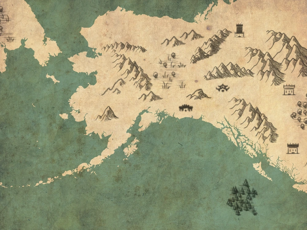
- Creating maps with vintage style and fantasy maps.
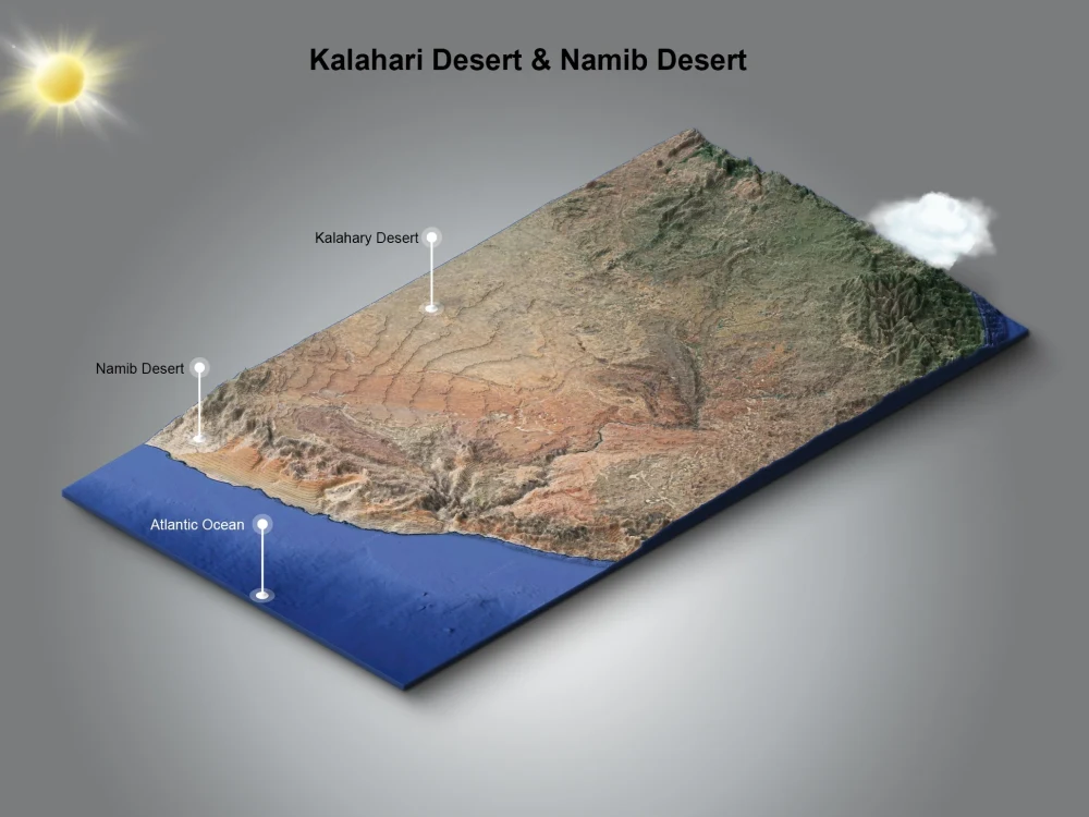
- Vector maps i.e Adobe Illustrator maps.
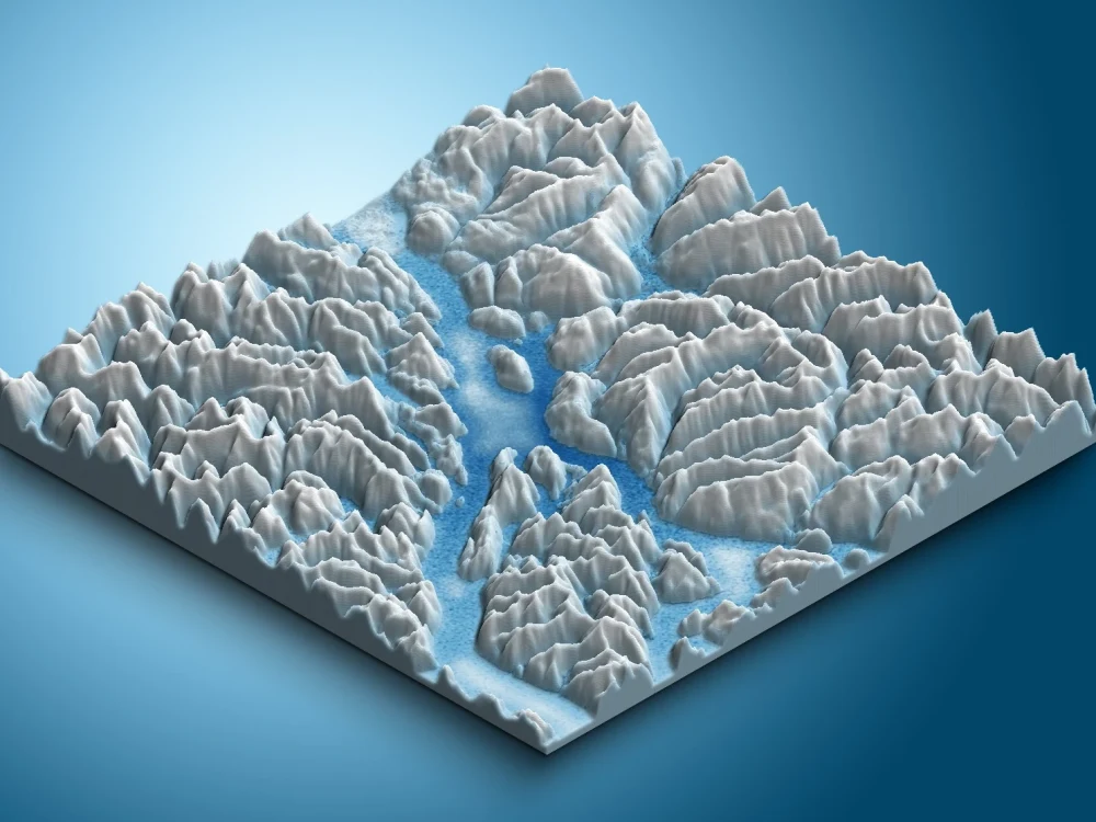
- GIS mapping.
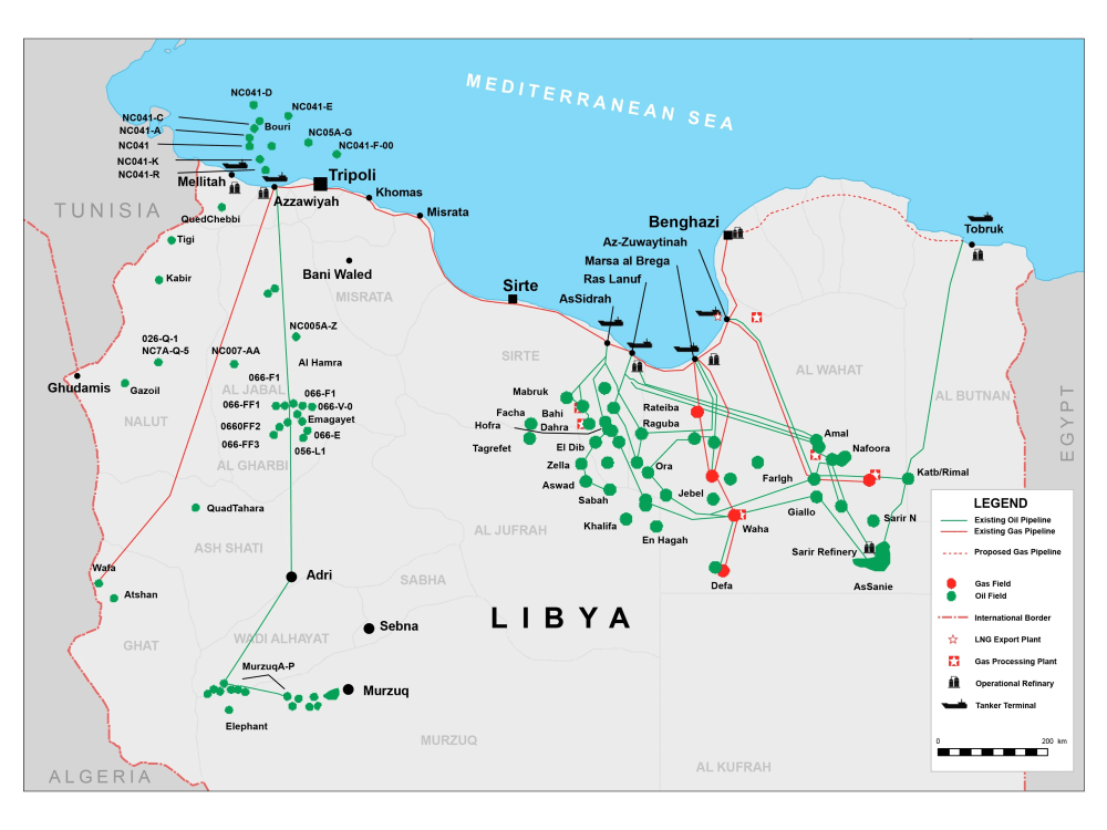
- Creating maps with suitable layouts via ArcGIS.
- Creating maps with vintage style and fantasy maps.
- Vector maps i.e Adobe Illustrator maps.
- GIS mapping.
- Creating maps with suitable layouts via ArcGIS.
Illustration Type
InfographicIllustration Style
Vector ArtFile Format
PNG, AI, JPG, PDF, EPS, SVGWhat's included
| Service Tiers |
Starter
$50
|
Standard
$75
|
Advanced
$100
|
|---|---|---|---|
| Delivery Time | 5 days | 3 days | 2 days |
Number of Figures | 1 | 1 | 1 |
Number of Revisions | 2 | 2 | 3 |
Source Files | |||
High Resolution | |||
Background/Scene | - | - | - |
Color | |||
Full Body | - | - | - |
Commercial Use |
53 reviews
(52)
(1)
(0)
(0)
(0)
This project doesn't have any reviews.
MS
Mike S.
Jun 1, 2026
Data Extraction Specialist for Real Estate Datasets
Great experience!
PF
Paul F.
Jul 4, 2025
Remote Junior to Mid-Level GIS Engineer
SL
Siyuan L.
Feb 19, 2025
GIS Mapping Specialist Needed to Create Maps from Photos
CS
Charles S.
Feb 18, 2025
Data Science, Python, Data Visualization, ETL expert
Sayyed did an excellent job on our data analysis project. He is an excellent communicator and worked hard to provide us with an insightful analysis of several datasets. I highly recommend him.
RS
Robbie S.
Apr 29, 2024
Help with Maps!
About Saied
Data Engineer | Geospatial Data Engineer | GIS Database | SQL & Python
100%
Job Success
Cairo, Egypt - 11:30 pm local time
My expertise spans a wide array of essential geospatial processes and spatial operations that are crucial for modern business planning and deployment. Here's how I can assist your business:
🌐 Data Intelligence: I excel in harnessing the power of location data, turning it into actionable information that can fuel your decision-making processes.
🗺️ Spatial Analysis: I have a deep understanding of GIS processes, enabling me to conduct spatial analysis that uncovers valuable trends and patterns in your data.
Data Analysis: Data Cleaning - Descriptive Analysis - Diagnostic Analysis - Statistical Analysis - Explanatory Analysis - Quantitative Analysis [Discrete - Continuous] - Qualitative/Categorical Analysis [Nominal - Ordinal].
📊 Data Visualization: I create stunning visualizations, including charts, graphs, cartography, maps, and heatmaps, to make complex data easily understandable and actionable.
🌍 Data sourcing: I specialize in automating data extraction from various sources, including web scraping and geospatial data extraction from platforms like Google Maps and OpenStreetMap.
💾 Data Engineering: I design and implement robust ETL (Extract, Transform, Load) pipelines, ensuring your data is organized, accurate, and readily accessible.
🌟 Custom Solutions: I build GIS data models and automation processes tailored to your specific needs, enhancing efficiency and productivity.
I'm well-versed in a variety of GIS technologies, including:
- GIS Software: QGIS, ArcGIS Pro, Global Mapper, Google Earth Engine, and JOSM.
- Programming: Python with GeoPandas, GDAL/ogr2ogr, requests, psycopg2, Shapely, OSMnx, NetworkX, Pandas, Geemap, and Folium.
- Database Management: SQL and spatial SQL with expertise in PostgreSQL and PostGIS.
- Spatial Data Sources: I tap into sources like OpenStreetMap (OSM), Overture Maps, and Mapbox to enrich your data.
My experience spans across diverse industries, including:
📡 Telecommunications
🌍 Tourism
🚚 Logistics and Warehousing
🏞️ Hiking and Backpacking
🚗 Transportation
✍️ Authoring and Publication
📚 Education
⛽ Oil and Gas
🏡 Real Estate
🏞️ Vacant Lands/Parcels
Hydraulic Modeling
Justice and Crime
With a bachelor's degree in geography and a strong GIS focus, I bring both academic knowledge and practical expertise to every project.
Please take a moment to explore my portfolio for a glimpse of my past work, and don't hesitate to reach out for a consultation. I'm here to help you harness the power of geospatial data to achieve your business goals.
In a rapidly evolving business landscape, let's work together to unlock the potential of your data and stay ahead of the curve.
Steps for completing your project
After purchasing the project, send requirements so Saied can start the project.
Delivery time starts when Saied receives requirements from you.
Saied works on your project following the steps below.
Revisions may occur after the delivery date.
Define purposes of using the map.
This will determine the approach that we will follow to create the map, and will help to define the type of the map and the assets that will be used.
Define the dimensions and fonts.
That will help with define the size of the map, fonts, and assets.