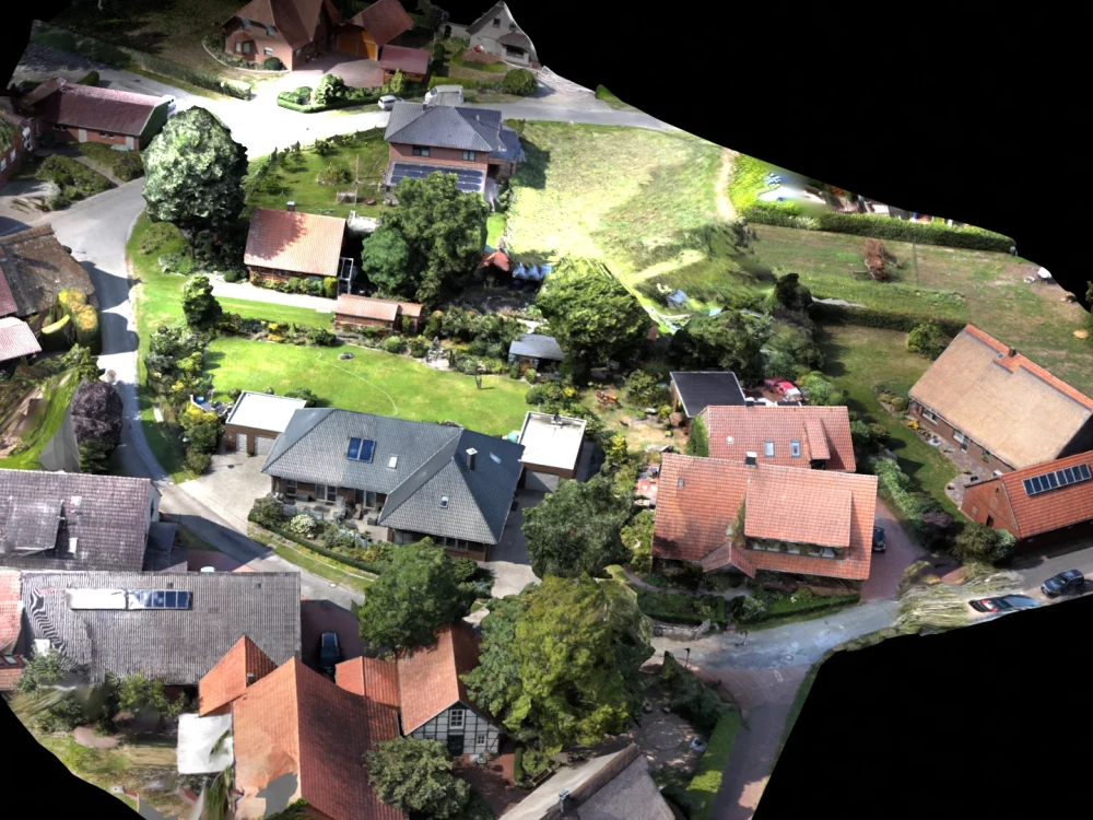
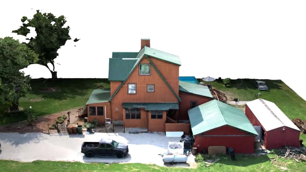
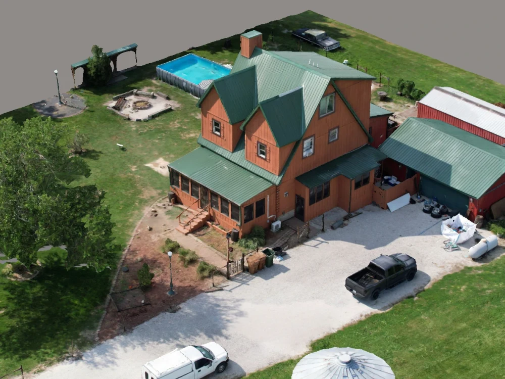
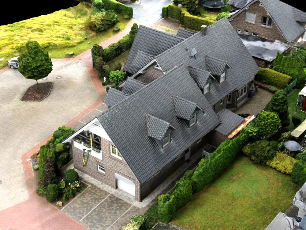
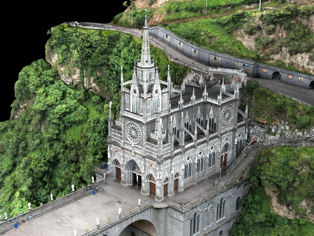
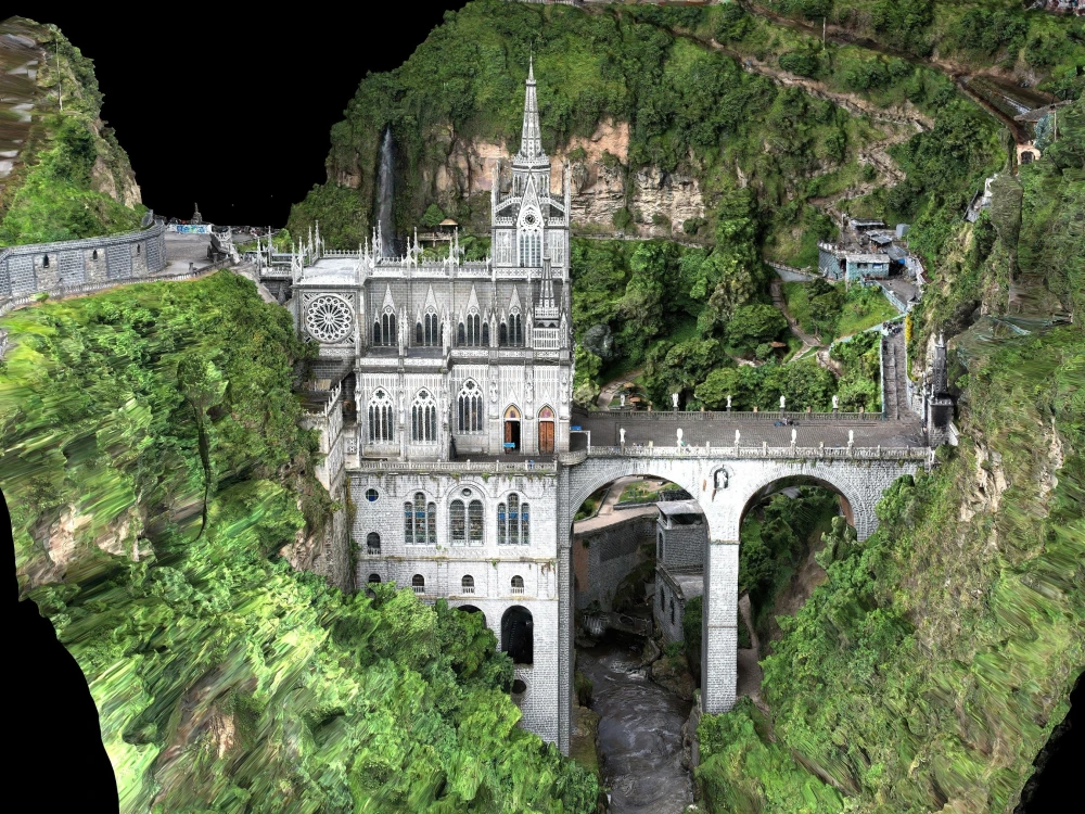
You will get photogrammetry 3D model from drone images
Project details
I have 4+ years of professional experience in the field of photogrammetry, spatial mapping to produce highly detailed 3D models, 2D maps (orthomosaic imagery), digital surface model, contours, elevation data, and many more. I have the ability to generate the above-mentioned products with high accuracy. I can process aerial, terrestrial, and oblique images acquired from multiple sources such as drones, DSLR, scans, etc to generate photo-realistic 3D models. I will be providing multiple output formats such as obj, .fbx, point clouds, 3D tiles, CAD, SketchUp files, etc.
Field of Expertise
OtherBuilding Type
ResidentialBIM Software
Autodesk Revit, SketchUp, OtherFile Format
SKP, FBX, OtherWhat's included
| Service Tiers |
Starter
$50
|
Standard
$100
|
Advanced
$200
|
|---|---|---|---|
| Delivery Time | 10 days | 7 days | 5 days |
Number of Revisions | 1 | 1 | 1 |
Design Analysis | - | - | - |
Architectural Walkthrough | - | - | - |
Native BIM Source Files | - | - | - |
Model Audit & Verification | - | - | - |
Optional add-ons
You can add these on the next page.
Fast Delivery
+$20 - $80
Additional Revision
+$50
15 reviews
(15)
(0)
(0)
(0)
(0)
This project doesn't have any reviews.
DV
David V.
Jul 29, 2025
Blender / Geospatial Data Expert
OI
Osarodion Victory I.
Mar 9, 2024
Orthomosaic to GIS
JL
Jared L.
Jan 17, 2024
Aerial Image Processing
DM
Daan M.
Sep 28, 2023
3D Blender Model from Google Earth Photogrammetry (Reduced Area)
Built a 3D model from Google Earth 3D photogrammetry. Used Blender to simplify geometry and texture before exporting as a Colladae file. Model imported into SketchUp well and looks good. Thanks Saifullah!
KJ
Kristian J.
Aug 16, 2023
Reconstruct 3D Building From Photogrammetry OBJ Mesh (3Ds Max)
About Saifullah
GIS | Geospatial Specialist
Lahore, Pakistan - 8:25 pm local time
I offer the following specialized services:
2D Mapping and Orthomosaic Imagery: Development of accurate and detailed maps, including digital surface models (DSM), contours, and elevation data.
3D Model Generation: Creation of highly detailed 3D models based on aerial and satellite imagery, ensuring accuracy and precision in every project.
Spatial Analysis: Comprehensive geospatial data analysis to support decision-making processes, providing actionable insights tailored to project requirements.
My professional approach ensures accuracy, efficiency, and attention to detail, and I take pride in delivering high-quality results that meet the unique needs of each client.
If you require a dedicated GIS expert to enhance your spatial projects, I would welcome the opportunity to discuss how my skills and experience can add value to your objectives.
Steps for completing your project
After purchasing the project, send requirements so Saifullah can start the project.
Delivery time starts when Saifullah receives requirements from you.
Saifullah works on your project following the steps below.
Revisions may occur after the delivery date.
Images to be shared by the client
images for processing to generate 2D orthomosaic imagery or photorealistic 3D modelling, or point cloud, have to be shared by the client sing the google drive link.
Processing Images
Processing the images through QAQC , filtering the images and then using these images in photogrammetry softwares to generate client required outputs