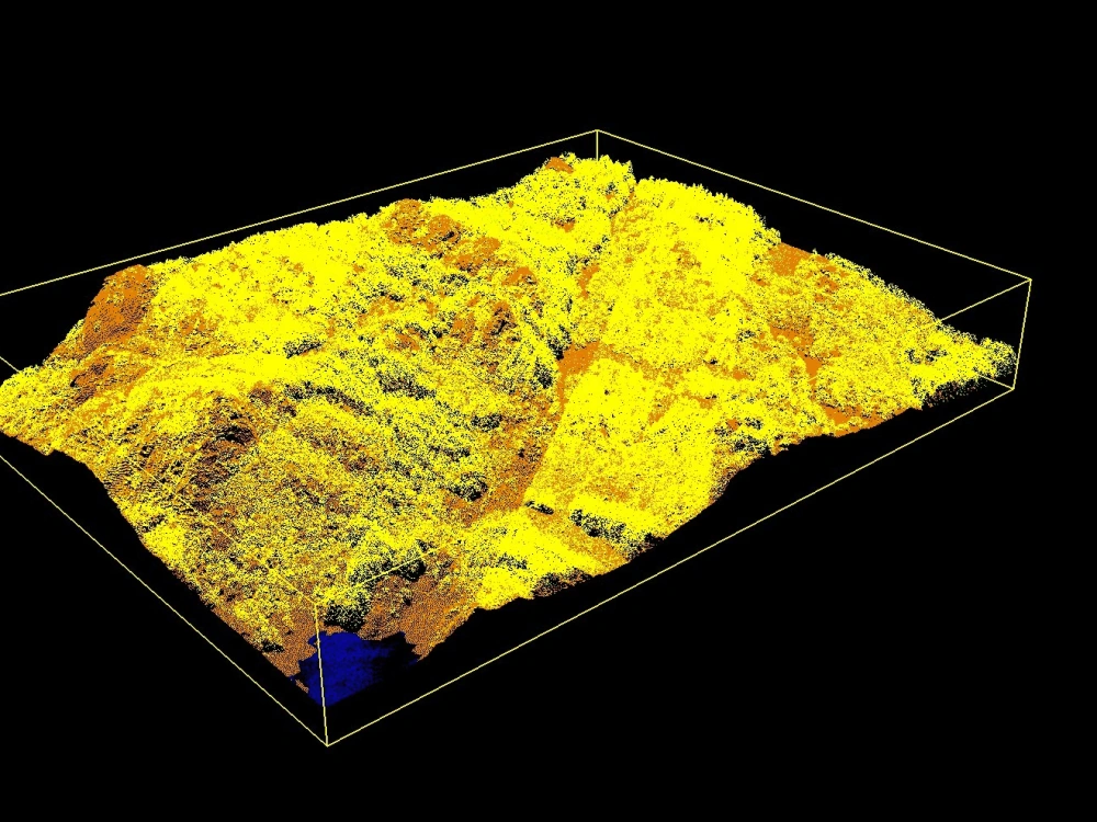
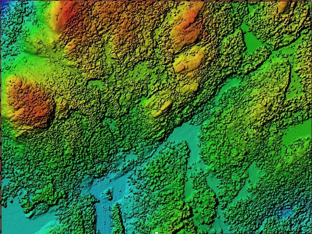
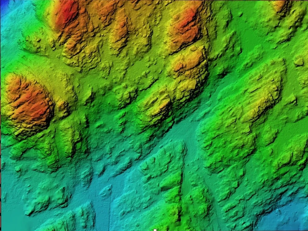
You will get point cloud data converted to contour lines with 0,5 - 20 m in elevation

Project details
I'm a GIS, CAD expert with more than 8 years of experience.
Software:
Qgis, ArcGIS, Google Earth, AutoCAD, Civil 3D, ReCap, InfraWorks, Global Mapper
Technologies & tasks:
GIS data mapping, Data processing
- Creation of digital maps and plans
- Vectorization of available cartographic materials
- Vectorization of graphic documents
- Digitization of topographic maps
- Creation of orthophotos
- Updating of cartographic materials
LiDAR Data Processing
- LiDAR pointcloud classification.
- High detailed 3D Cartography and 2D mapping at different levels.
- Digital Elevation/DSM Models (DEM/DSM)
- Transmission Lines/Corridors
UAV Image Processing
- Asset & Plant Inspections
- Engineering & Construction
- Mining & Resources
- Thermographic Imaging
- Surveying Services
My goal is to work in long and strong relationships with clients fruit of hard and constant work.
I always try to apply thinking beyond the box to resolve client's needs.
Software:
Qgis, ArcGIS, Google Earth, AutoCAD, Civil 3D, ReCap, InfraWorks, Global Mapper
Technologies & tasks:
GIS data mapping, Data processing
- Creation of digital maps and plans
- Vectorization of available cartographic materials
- Vectorization of graphic documents
- Digitization of topographic maps
- Creation of orthophotos
- Updating of cartographic materials
LiDAR Data Processing
- LiDAR pointcloud classification.
- High detailed 3D Cartography and 2D mapping at different levels.
- Digital Elevation/DSM Models (DEM/DSM)
- Transmission Lines/Corridors
UAV Image Processing
- Asset & Plant Inspections
- Engineering & Construction
- Mining & Resources
- Thermographic Imaging
- Surveying Services
My goal is to work in long and strong relationships with clients fruit of hard and constant work.
I always try to apply thinking beyond the box to resolve client's needs.
Type
CommercialFile Format
DWG, TIFF, PDFSoftware
Autodesk AutoCAD, AutoCAD Civil 3D, MicroStationWhat's included
| Service Tiers |
Starter
$150
|
Standard
$250
|
Advanced
$400
|
|---|---|---|---|
| Delivery Time | 2 days | 3 days | 4 days |
Number of Revisions | 2 | 2 | 2 |
3D Modeling | - | - | - |
Environment | - | - | - |
Source File | |||
Landscape Walkthrough | - | - | - |
Optional add-ons
You can add these on the next page.
contour lines with 0.5 m
(+ 2 Days)
+$100
contour lines with 1 m
(+ 2 Days)
+$70
contour lines with 5 m
(+ 1 Day)
+$20About Server
GIS|CAD Specialist|Photogrammetry|Lidar
Lviv, Ukraine - 11:07 pm local time
Expertise:
From classifying point clouds to processing orthomosaic data and creating precise GIS/CAD drafts, we have the skills and experience to handle it all.
Specializations:
My services include but are not limited to:
- Classification of point clouds (Noise, Ground, Vegetation, Buildings, Infrastructure)
- Solutions tailored for Electric Utilities (Vegetation Encroachment, T&D Asset Classification)
- Volume calculations (Stockpile, Cut and Fill)
- Image processing with TerraPhoto, Pix4D, DJI Terra, and Agisoft Metashape
Mapping Solutions: We excel in creating digital maps, vectorizing cartographic materials, and digitizing topographic maps. Our CAD drafting capabilities ensure precise and detailed outcomes, including PDF to CAD conversions.
Software Proficiency:
QGIS, ArcGIS, Global Mapper, Bentley Microstation, TerraSolid (TerraPhoto, TerraScan, TerraModeler), AutoCAD, Civil3D, Revit, DJI Terra, Agisoft, Pix4D
Why Choose Me:
Partner with me for reliable expertise and a commitment to clarity and precision in every project. Let's collaborate to make your mapping endeavors a success!
Steps for completing your project
After purchasing the project, send requirements so Server can start the project.
Delivery time starts when Server receives requirements from you.
Server works on your project following the steps below.
Revisions may occur after the delivery date.
Classifying the point cloud
Building the DSM