You will get Precision Geomatics Mapping and GIS Services for Enhanced Decision-Making
Project details
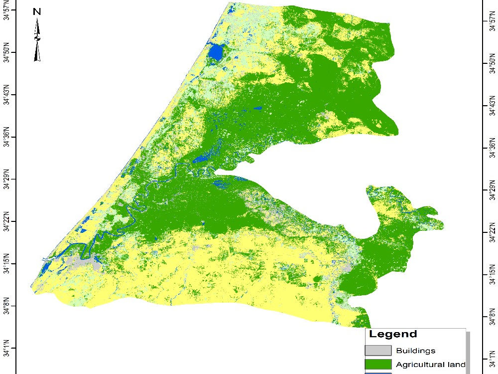
My geomatics project stands out due to its unwavering focus on precision, efficiency, and tailored solutions. By employing advanced surveying technologies and GIS techniques, I ensure accurate boundary and topography assessments that are crucial for informed development planning. My approach integrates thorough data analysis with clear communication, providing clients with detailed reports and high-quality maps that are easy to understand.
I prioritize customer collaboration, adapting my services to meet specific client needs while ensuring a seamless experience from start to finish. This commitment to quality, combined with my field experience, distinguishes my work in the geomatics industry, making it reliable and client-focused.
I prioritize customer collaboration, adapting my services to meet specific client needs while ensuring a seamless experience from start to finish. This commitment to quality, combined with my field experience, distinguishes my work in the geomatics industry, making it reliable and client-focused.
File Format
JPG, PDF, PNG, PPTInfographic Type
GeographicWhat's included
| Service Tiers |
Starter
$30
|
Standard
$50
|
Advanced
$70
|
|---|---|---|---|
| Delivery Time | 5 days | 7 days | 10 days |
Number of Revisions | 1 | 2 | 3 |
Number of Data Points | 5 | 15 | 30 |
Source Files | |||
Commercial Use | |||
Conduct Research | - | ||
Post to Infographic Sites | - | - |
About Riad
CAD | Autodesk AutoCAD,QGIS
Kenitra, Morocco - 4:08 am local time
I’m Riad Saldani, a geomatics specialist with a background in topography, GIS, and geosciences, holding a Bachelor’s degree in Geomatics, Cartography, and Geology from ENS in Rabat. I also earned a professional technician diploma in topography and have accumulated practical experience, including an internship with ORMVAG (Office Régional de Mise en Valeur Agricole du Gharb). My work has primarily focused on utilizing GIS and remote sensing tools to solve environmental challenges, as seen in my PFE, "AGIS, Based Analysis of Drugs, Drivers, and Applications. Seeking to contribute to your
projects and further develop my technical skills.
Steps for completing your project
After purchasing the project, send requirements so Riad can start the project.
Delivery time starts when Riad receives requirements from you.
Riad works on your project following the steps below.
Revisions may occur after the delivery date.
Initial Consultation
Discussing project objectives and specific requirements with the client.
Gather Required Information
Collecting project area details, existing maps, and any relevant data from the client.