You will get Tourist Map Design – Custom Raster & Interactive Maps
Top Rated

Top Rated
Project details
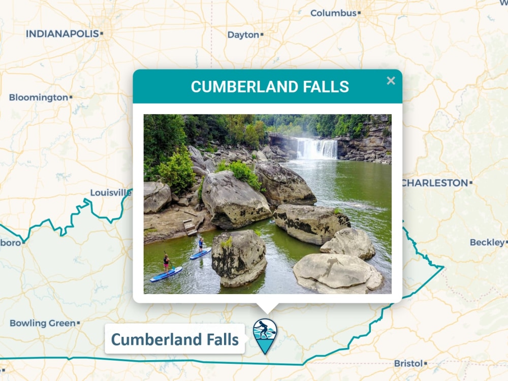
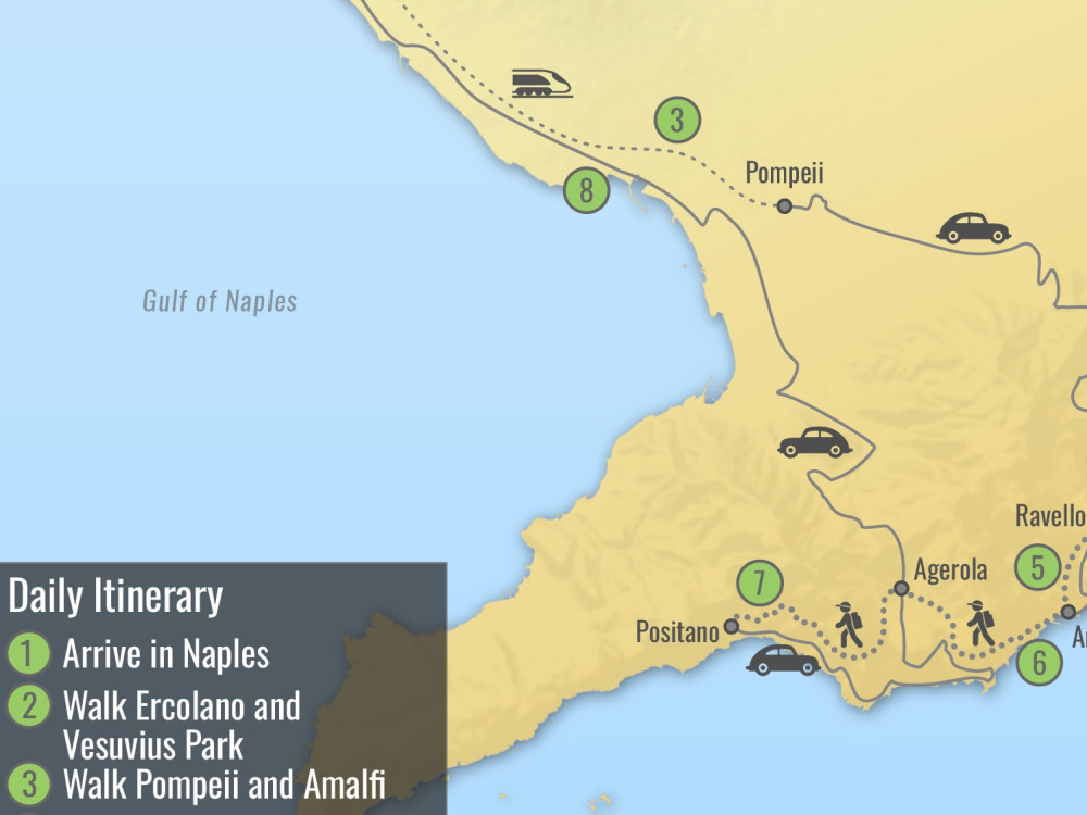
I create high-quality tourist maps for websites, travel guides, and web applications. Whether you need a detailed raster map for print or an interactive web-ready map with clickable regions, I can deliver visually appealing and accurate results. Maps can include landmarks, attractions, routes, and pop-up information to engage your audience.
File Format
AI, JPG, PNGInfographic Type
GeographicWhat's included $50
These options are included with the project scope.
$50
- Delivery Time 3 days
- Number of Revisions 2
- Source Files
Optional add-ons
You can add these on the next page.
Fast 2 Days Delivery
+$10
112 reviews
(111)
(1)
(0)
(0)
(0)
This project doesn't have any reviews.
LG
Laurent G.
Jun 2, 2025
Map out table of regions of Norway with accompanying coefficients
Very happy with Viktor's work yet again. He worked very quickly and delivered what we needed on the first contact.
LG
Laurent G.
Feb 25, 2025
Digitalize map for wind velocity in Spain
LL
Lucas L.
Sep 11, 2024
Geocode Map Data for GIS (GeoJson) - Norway Snow map
rc
richard c.
Jun 25, 2024
Looking to do some admin tasks for our business.
Thanks Viktor, great working with you!
JK
Jake K.
Jun 13, 2024
United States SSA County Mapping
Viktor is fast, highly-skilled at map-making, reasonably-priced, and receptive to feedback. I would hire him again in an instant.
About Viktor
Interactive Map Developer
100%
Job Success
Rivne, Ukraine - 10:09 am local time
I have an experience to work with geographic information systems as ArcGIS, QGis, MapInfo, Google Earth, OSM and JavaScript libraries as D3.js, MapBox, Leaflet.js, Google Maps JavaScript API, Carto, Plotly and other.
I also use for creating maps next graphic design tools - Illustrator, Photoshop, After Effects and other.
Steps for completing your project
After purchasing the project, send requirements so Viktor can start the project.
Delivery time starts when Viktor receives requirements from you.
Viktor works on your project following the steps below.
Revisions may occur after the delivery date.
Check your requirements
Please provide your requirements for the style or functionality of this map.