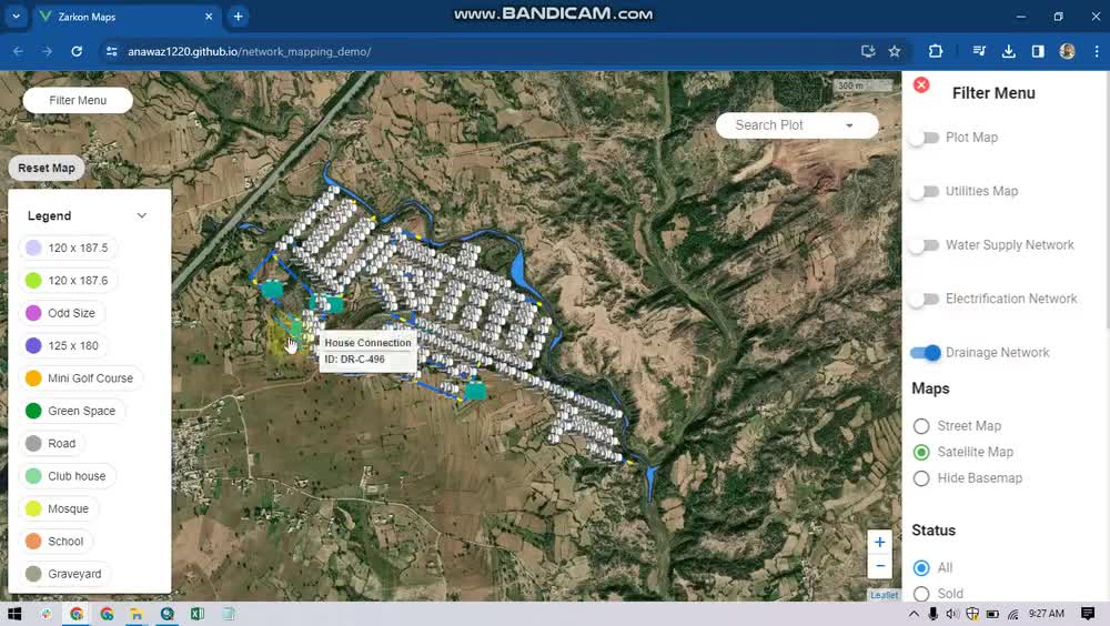
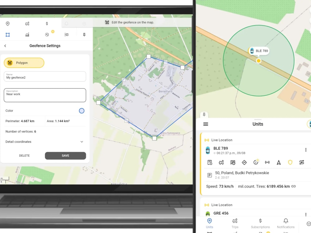
You will get a custom GIS map with feature overlays
Project details
I specialize in digitizing features from aerial and satellite imagery and
delivering clean, professional maps with accurate measurements — outputs
you can actually hand to a contractor, use in a report, or present to a client.
─────────────────────────────
WHAT I CAN MAP
─────────────────────────────
✔ Paved surfaces — roads, parking lots, cart paths, driveways
✔ Land parcels and property boundaries
✔ Buildings and structures
✔ Vegetation, fields, and land use zones
✔ Waterways, fences, and site features
✔ Any feature visible or aerial imagery
─────────────────────────────
WHAT YOU'LL RECEIVE
─────────────────────────────
✔ Color-coded overlay map (PDF, high resolution)
✔ Measurement table — length, width, and area per feature (Excel + PDF)
✔ GIS source files — GeoJSON or Shapefile (Standard & Premium)
✔ Short notes doc explaining any assumptions made.
─────────────────────────────
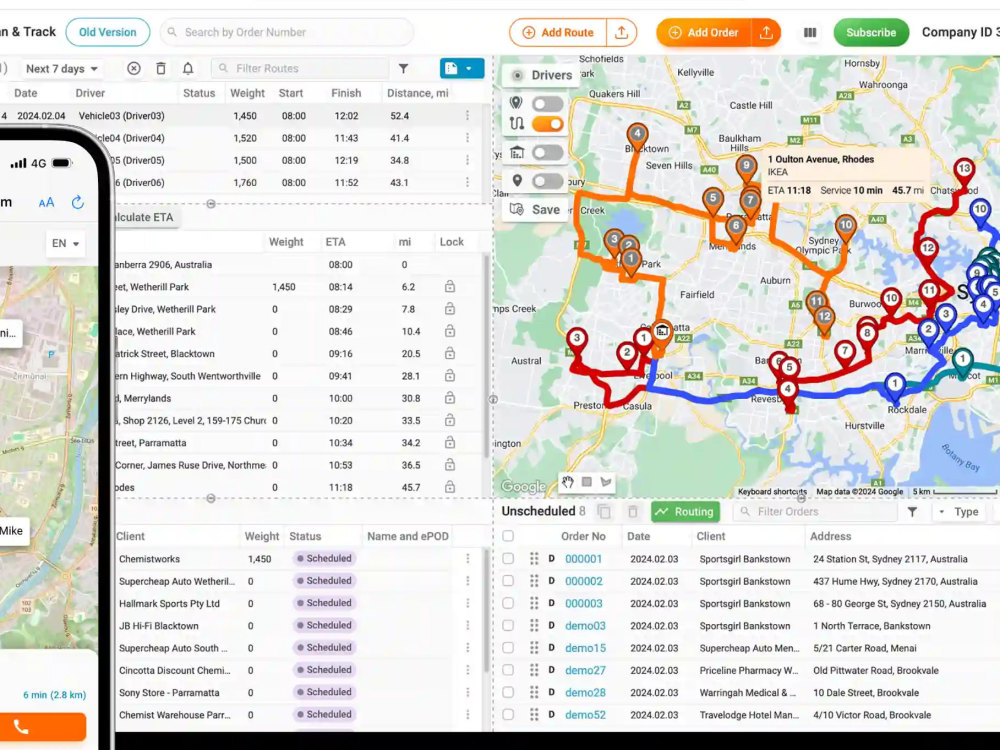
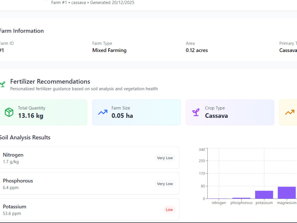
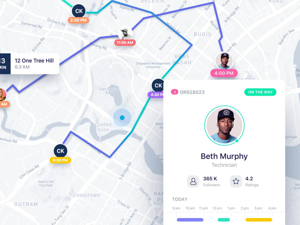
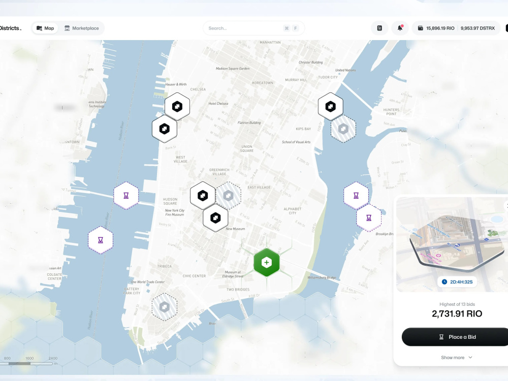
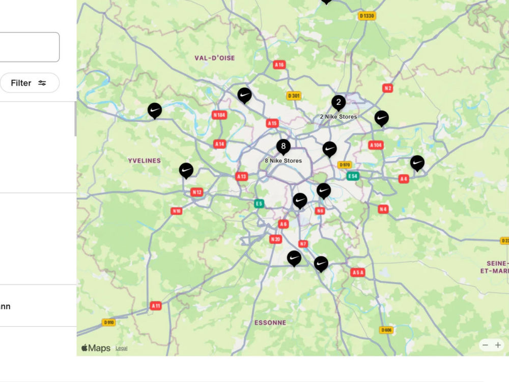
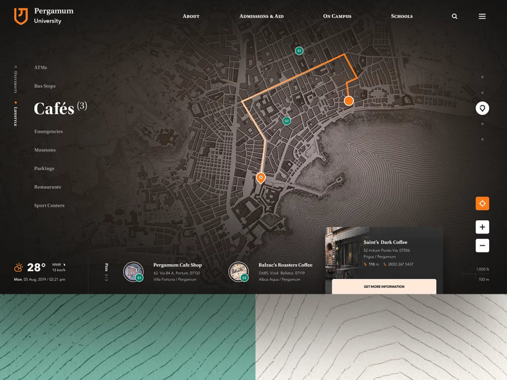
I've built GIS tools for fleet route tracking, agricultural land mapping,
and real estate portfolio visualization. See my portfolio samples attached.
Not sure which package fits your project? Send me a message and I'll
point you in the right direction before you order.
delivering clean, professional maps with accurate measurements — outputs
you can actually hand to a contractor, use in a report, or present to a client.
─────────────────────────────
WHAT I CAN MAP
─────────────────────────────
✔ Paved surfaces — roads, parking lots, cart paths, driveways
✔ Land parcels and property boundaries
✔ Buildings and structures
✔ Vegetation, fields, and land use zones
✔ Waterways, fences, and site features
✔ Any feature visible or aerial imagery
─────────────────────────────
WHAT YOU'LL RECEIVE
─────────────────────────────
✔ Color-coded overlay map (PDF, high resolution)
✔ Measurement table — length, width, and area per feature (Excel + PDF)
✔ GIS source files — GeoJSON or Shapefile (Standard & Premium)
✔ Short notes doc explaining any assumptions made.
─────────────────────────────
I've built GIS tools for fleet route tracking, agricultural land mapping,
and real estate portfolio visualization. See my portfolio samples attached.
Not sure which package fits your project? Send me a message and I'll
point you in the right direction before you order.
Programming Languages
HTML & CSS, JavaScript, PythonCoding Expertise
Cross Browser & Device Compatibility, Localization, Performance OptimizationWhat's included
| Service Tiers |
Starter
$200
|
Standard
$500
|
Advanced
$1,000
|
|---|---|---|---|
| Delivery Time | 3 days | 5 days | 7 days |
Number of Revisions | 3 | 5 | Unlimited |
Number of Pages | 1 | 4 | 7 |
Design Customization | |||
Content Upload | |||
Responsive Design | |||
Source Code |
Frequently asked questions
About Emmanuel
Geospatial and GIS Specialist, AI Solutions, Scalable Software Dev
Lagos, Nigeria - 8:30 pm local time
I am experienced in developing advanced GIS and mapping systems, integrating artificial intelligence into real-world applications, and creating software solutions that are efficient, user-focused, and built for long-term maintainability. My approach emphasizes clean code, system scalability, performance optimization, data accuracy, and intuitive user experience.
Beyond technical execution, I excel at bridging the gap between business objectives and technical implementation. I have a proven ability to manage project lifecycles, collaborate with multidisciplinary teams, lead development initiatives, and communicate complex technical concepts clearly to both technical and non-technical stakeholders, ensuring alignment, efficiency, and successful delivery.
My Interests
I am deeply interested in geospatial technologies, artificial intelligence, software innovation, and digital transformation. I enjoy researching emerging tools, frameworks, and technologies that improve automation, spatial intelligence, decision-making, and overall system performance. I am particularly motivated by projects that apply technology to solve real-world challenges, optimize operations, and create meaningful impact across industries.
Beyond technology, I value continuous learning, leadership development, and collaboration. I am driven by curiosity, innovation, and the desire to contribute to forward-thinking teams and initiatives shaping the future of intelligent digital solutions.
Steps for completing your project
After purchasing the project, send requirements so Emmanuel can start the project.
Delivery time starts when Emmanuel receives requirements from you.
Emmanuel works on your project following the steps below.
Revisions may occur after the delivery date.
Receive & Review Order
Read the client brief carefully Send a short message confirming you received it and listing any clarifying questions Do this within 24 hours of order placement
Source Imagery
Google Earth Pro → set date slider to requested year QGIS + Esri World Imagery for higher resolution OpenAerialMap or USGS EarthExplorer for specific regions