You will get a custom interactive Web Map using Leaflet – $150
Project details
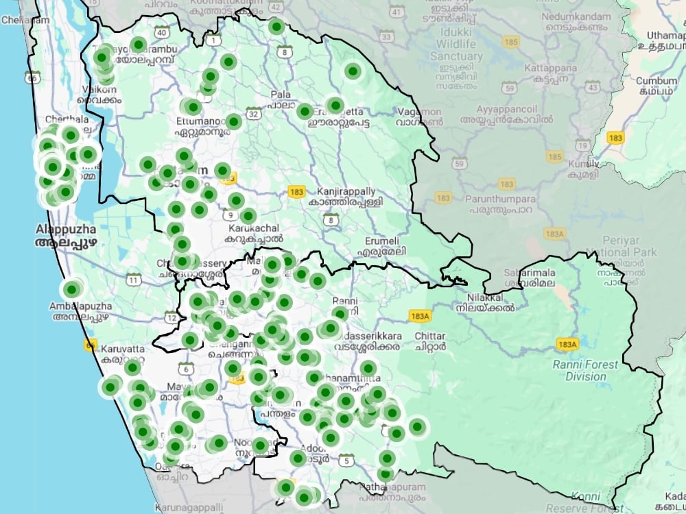
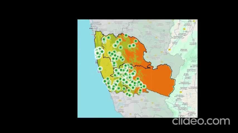
You will get a fully responsive, interactive web map built with Leaflet.js, tailored to your spatial data needs. With over 3 years of experience in GIS development, remote sensing, and spatial database integration, I specialize in building clean, high-performing WebGIS apps that visualize complex geospatial data in user-friendly formats.
Whether you need a basic map viewer or a full-featured dashboard with filters, legends, and live data layers from PostGIS or GeoServer, I can deliver fast, efficient, and scalable solutions.
All maps are custom-built using modern open-source tools and designed for easy deployment (local, cloud, or GitHub). My work is original, data-driven, and optimized for performance and clarity.
Whether you need a basic map viewer or a full-featured dashboard with filters, legends, and live data layers from PostGIS or GeoServer, I can deliver fast, efficient, and scalable solutions.
All maps are custom-built using modern open-source tools and designed for easy deployment (local, cloud, or GitHub). My work is original, data-driven, and optimized for performance and clarity.
Programming Languages
HTML & CSS, JavaScript, PythonCoding Expertise
Cross Browser & Device Compatibility, Performance Optimization, DesignWhat's included
| Service Tiers |
Starter
$75
|
Standard
$150
|
Advanced
$250
|
|---|---|---|---|
| Delivery Time | 3 days | 5 days | 7 days |
Number of Revisions | 1 | 2 | 3 |
Number of Pages | 1 | 1 | 2 |
Design Customization | |||
Content Upload | |||
Responsive Design | |||
Source Code |
Optional add-ons
You can add these on the next page.
Additional Revision
+$15
Additional Page
+$25About Prithivi
Satellite Data Processing | GEE + Python + PostGIS
Thiruvananthapuram, India - 3:28 pm local time
In addition to technical work, I am skilled in academic, scientific, and technical writing, and can effectively communicate complex spatial data insights through maps and data visualizations. I am passionate about turning geospatial data into actionable insights to support research, planning, and decision-making.
Steps for completing your project
After purchasing the project, send requirements so Prithivi can start the project.
Delivery time starts when Prithivi receives requirements from you.
Prithivi works on your project following the steps below.
Revisions may occur after the delivery date.
Client purchases the project and submits requirements
I review the data and project scope.
Initial setup
Set up project structure, base map, and load sample data for testing.