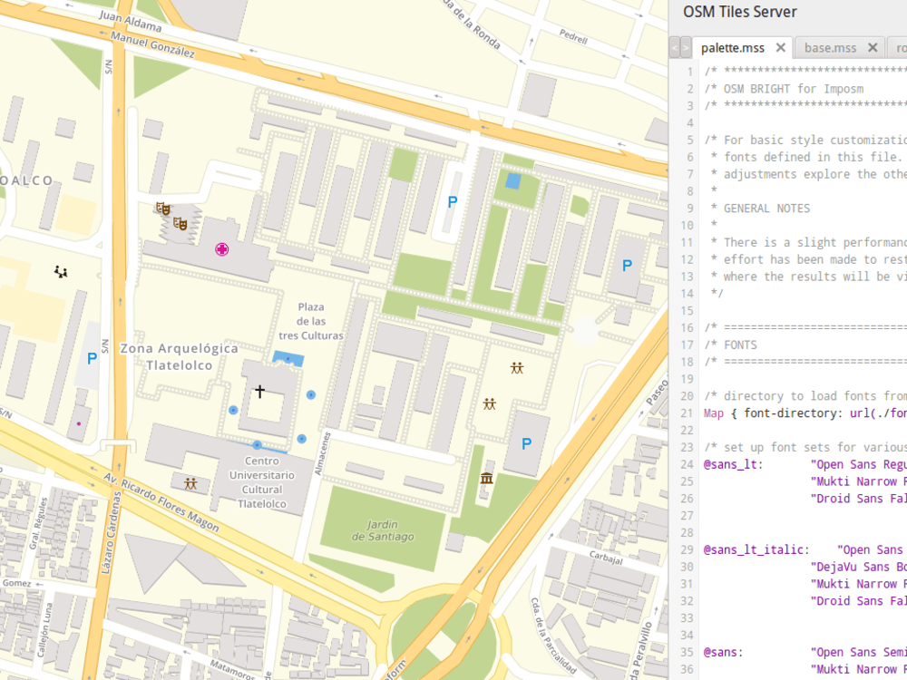
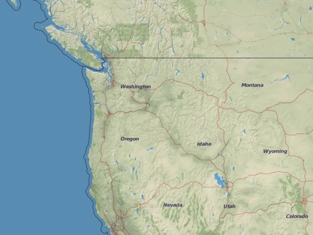
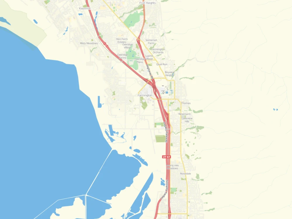
You will get a customized map tiles server
Top Rated
Top Rated
Project details
You will get a responsive web map application, where you can visualize any spatial/locational data. The users can interact with the data to get the desired information.
Programming Languages
HTML & CSS, JavaScript, PythonCoding Expertise
Cross Browser & Device Compatibility, Performance Optimization, SecurityWhat's included
| Service Tiers |
Starter
$1,500
|
Standard
$3,000
|
Advanced
$5,000
|
|---|---|---|---|
| Delivery Time | 20 days | 45 days | 70 days |
Number of Revisions | 2 | 2 | 2 |
Design Customization | - | ||
Content Upload | - | - | |
Responsive Design | |||
Source Code |
Frequently asked questions
34 reviews
(29)
(5)
(0)
(0)
(0)
This project doesn't have any reviews.
YB
Yekini B.
Oct 5, 2025
Developer Consulting Kretoss Team TITANGO APP Self-Hosted MapLibre Tile Server: Full Setup Guide
DH
Dan H.
Jun 17, 2025
Build a custom mapping system with MapBox, OpenStreetMap with tiled NOAA ENC Vector Maps
AS
Alex S.
May 14, 2025
API Development for Location Boundaries. PostGIS. Nominatim.
Very Satisfied. Shahzad is very easy and comfortable to communicate. Also very skilled so strongly recommend for anybody.
EM
Ebong M.
Dec 16, 2024
Django Database Administrator with Postgres Expertise
Very helpful and patient person . He helped me alot
RS
Randy S.
May 24, 2024
Developer to Create an Interactive Map with Custom Locations
About Shahzad
GIS Consultant | Specialized in Geospatial Data & Web Mapping
100%
Job Success
Islamabad, Pakistan - 5:34 pm local time
I have a proven track record in guiding clients through the architecture design of geospatial solutions, selecting the optimal technology stack for robust and scalable implementations. My experience includes recommending and integrating open-source solutions to accelerate development, and training developers on GIS-related tasks to ensure seamless project execution.
Key Skills and Achievements:
Vector and Raster Tiling: Expert in using open-source technologies like TileServer GL, Tilestache, Tilemill, Mapnik, Mapbox GL, Tangram, and PostGIS for efficient tiling solutions.
Web Mapping Development: Skilled in creating dynamic and interactive web maps using Geoserver, Python (Flask), Leaflet, OpenLayers, MapLibre and PostGIS.
Database Design and Management: Proficient in designing robust database schemas and administering spatial databases with expertise in backups, recovery, PITR, and replication.
ELK Stack Proficiency: Experienced in utilizing Elasticsearch, Logstash, and Kibana for advanced data analysis and visualization.
GIS Data QA/QC: Conducted rigorous quality assurance and control, both manually and through automated processes.
Remote Sensing: Skilled in processing and analyzing satellite and aerial imagery for land cover classification, vegetation analysis, and environmental monitoring, utilizing tools like python, GDAL, QGIS, Envi and Erdas Imagine to extract meaningful insights from large-scale datasets.
I am passionate about leveraging modern technologies to solve complex geospatial challenges. My goal is to deliver impactful, large-scale projects that make a difference. Let’s work together to harness the power of GIS and web mapping for your next project.
Steps for completing your project
After purchasing the project, send requirements so Shahzad can start the project.
Delivery time starts when Shahzad receives requirements from you.
Shahzad works on your project following the steps below.
Revisions may occur after the delivery date.
Client provides an environment to setup the application