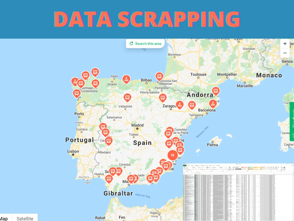
You will get a data scraped or business leads from the provided source in excel sheet


Project details
You will get a scrapped data as per your requirement in an organized tables. Data will be cleaned and organized properly to easily understandable and meaningful.
Data Tool
PythonWhat's included
| Service Tiers |
Starter
$50
|
Standard
$100
|
Advanced
$150
|
|---|---|---|---|
| Delivery Time | 7 days | 5 days | 3 days |
Number of Revisions | 0 | 1 | 1 |
Optional add-ons
You can add these on the next page.
Fast Delivery
+$25 - $20
8 reviews
(7)
(0)
(0)
(1)
(0)
This project doesn't have any reviews.
IM
Igor M.
Dec 13, 2022
30 minute consultation
RM
Raghda M.
Apr 17, 2022
30 minute consultation
Malik Fahad has a great data analysis expertise. He has completed my complex and challenging task in a very smooth and efficient way. I highly recommend him for the data analysis and visualization tasks; either Excel, GIS, power Bi. He is the best in this domain.
NG
Nicole G.
Jan 31, 2022
Georeferencing image to construct shapefile
Malik was very good-- he completed my complicated project on time and was willing to make adjustments even after it was technically completed. Thanks, Malik!
AN
Adrian N.
Jan 11, 2022
Geolocation data mining / analytics / online research / web research
Mr. Malik has done the a great job for scrapping the data. he is good for data mining and scrapping.
JK
Jay K.
Jan 8, 2022
Risk area assessment
He works inconsistently with what was agreed and works late, with milestone changes.
At first he said that he could do what the client wanted. But when submitting the job, it says that it can't be done. The information is not correct. In addition, the accuracy of the process was not verified.
At first he said that he could do what the client wanted. But when submitting the job, it says that it can't be done. The information is not correct. In addition, the accuracy of the process was not verified.
About Malik
GIS Engineer/Developer, RS Specialist, Data Analyst, Graphics Designer
Lahore, Pakistan - 2:14 am local time
⭐️ GIS Data Engineering ⭐️
⭐️ GIS Web Map Development⭐️
⭐️ Geo Spatial Apps Development ⭐️
⭐️ Web Development ⭐️
⭐️ Auto CAD Civil 3D Map Design ⭐️
⭐️ CAD to GIS Conversion and Data Cleaning ⭐️
⭐️ Database Design Development and Implementation⭐️
⭐️ Cartography ⭐️
⭐️ Topographic Mapping ⭐️
⭐️ Spatial Data Analysis ⭐️
⭐️ Satellite Image Processing Expert ⭐️
⭐️ Geo-Portal Development ⭐️
⭐️ Python Development ⭐️
⭐️ FME - ETL and Data Integration ⭐️
⭐️ Graphics Designing ⭐️
⭐️ Dashboard Development ⭐️
⭐️ Web Development ⭐️
⭐️ App Development ⭐️
⭐️ Graphics Designing ⭐️
⭐️ Power Point Presentation ⭐️
⭐️ Info-Graphics ⭐️
⭐️ Remote Sensing Data Processing ⭐️
Hi! I am Malik, a professional and enthusiastic GIS Engineer cum Data Scientist.
My services include following activities:
GIS Data Analysis, GIS Design and Development, Graphics Designs, Excel Data Analytics, GIS web maps and Dashboards Development, FME Automation, GIS Clouds Data Migration, Database Design and Administrator, etc.
I offer professional, fast, and thorough services. I am hardworking and dedicated. I can help your businesses or help you to create meaningful maps, design and development of backend technologies, analyzing your requirement and dataset to provide you with a complete solution according to the need. We can collaborate to bring your vision to life and provide you with solutions to match your unique requirements. It’s my passion to use my skills to help my clients succeed in their businesses/projects.
►Skills and Services:
🎯 Data Collection
🎯 Data Analysis
🎯 Mapping and Charting
🎯 Data Modelling
🎯 Preparation of Maps (Thematic, Aerial, Hotspot, Density, Thermal, Illustrative, etc)
🎯 Site Plans and CAD Designs
🎯 Topological Modeling
🎯 Geometric Networks
🎯 Hydrological Modeling
🎯 Cartographic Modeling
🎯 Address Geocoding
🎯 LRS - Linear Referencing System
🎯 Multi-Criteria Decision Analysis
🎯 Auto Cad Data Conversion
🎯 FME - Automation, ETL, and Integration
🎯 Graphics Designing
🎯 Design Illustrative maps in Adobe Illustrator
►Software Expertise:
🎯 ArcGIS Desktop
🎯 ArcGIS Pro
🎯 ArcGIS Online
🎯 ESRI Geo Server and Portal
🎯 ESRI Products
🎯 ArcGlobe
🎯 QGIS
🎯 Geo Server
🎯 PostgreSQL, MS SQL, MS Access, Oracle
🎯 MapInfo
🎯 Google Maps • Google Earth Pro • Global Mapper
🎯 ERDAS Imagine
🎯 ENVI
🎯 MS Office
🎯 Adobe Graphics Suite - Photoshop, Illustrator
🎯 Open Street Mapping
🎯 Auto Cad - Civil 3D
🎯 Java Scripting
🎯 Adobe Photoshop and Illustrator
🎯 Wordpress
Thank you for visiting my profile...!
Message me to know how can I help you!
"Hiring me won't cost you money. Hiring me will make you money."
Steps for completing your project
After purchasing the project, send requirements so Malik can start the project.
Delivery time starts when Malik receives requirements from you.
Malik works on your project following the steps below.
Revisions may occur after the delivery date.
Information Gathering
- I Will collect the information as provided by the client. - Process the information and Scrap the required data by the client. - Submit for the client review.