You will get a professional GIS heatmap for business insights/research/trend analysis.
Top Rated
Project details
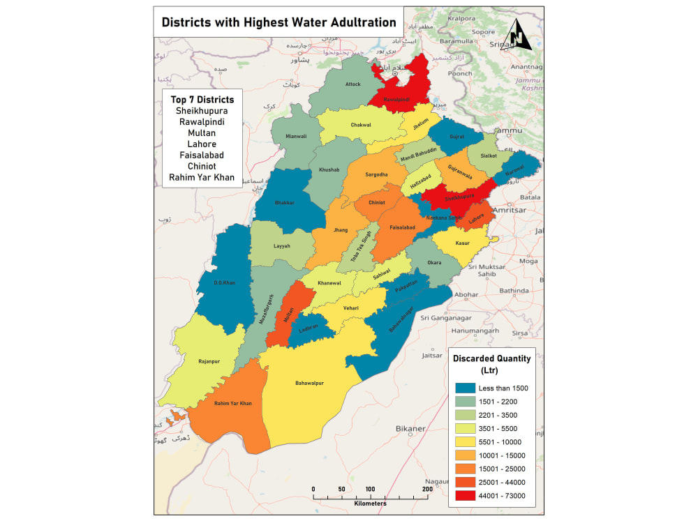
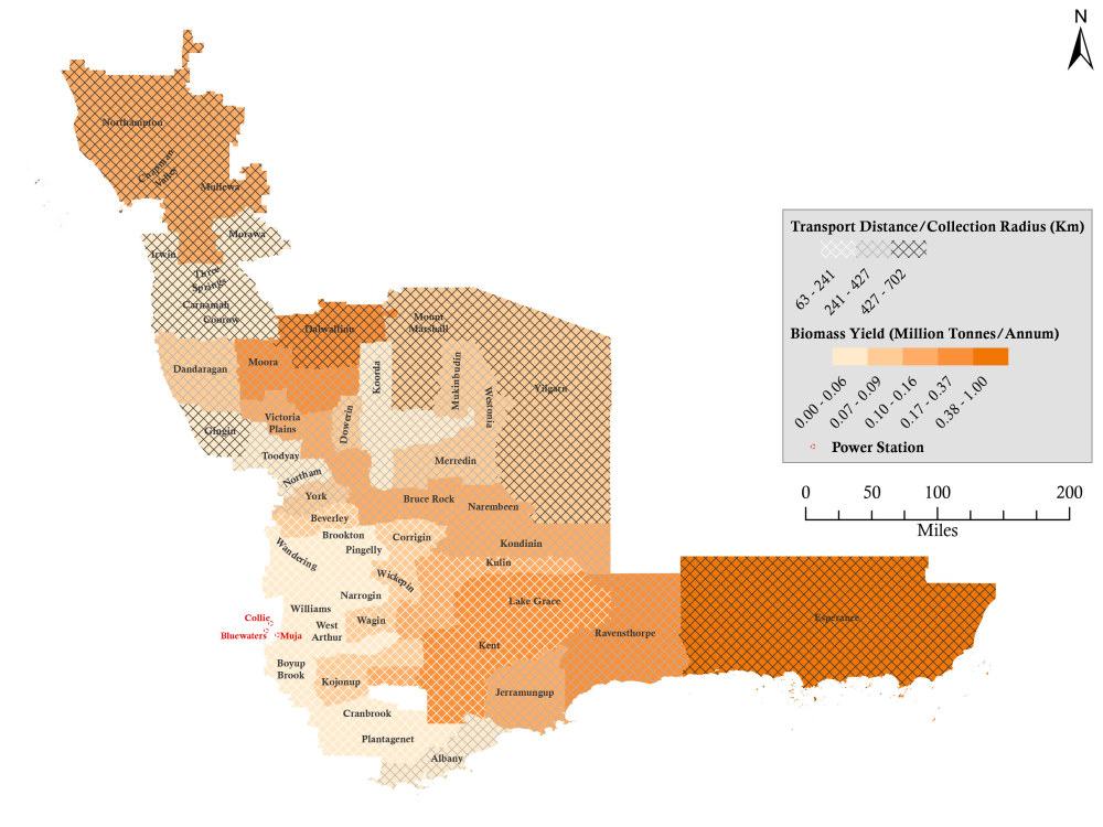
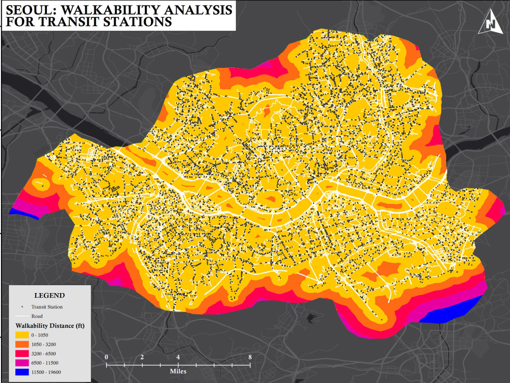
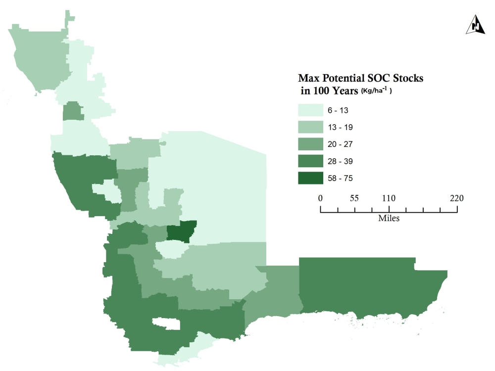
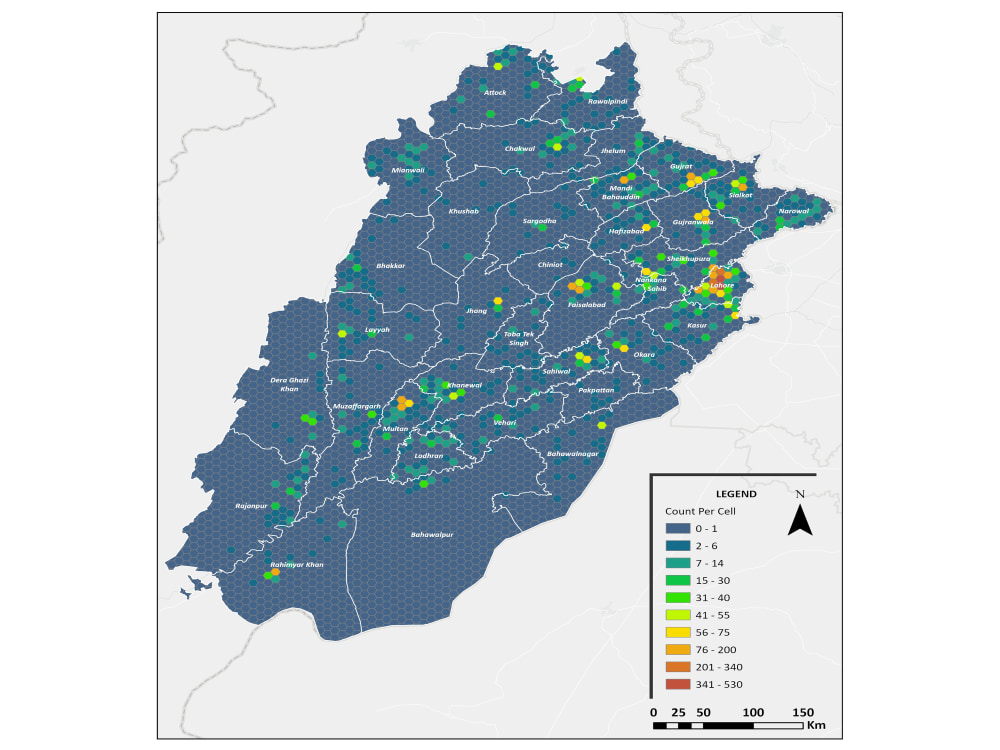
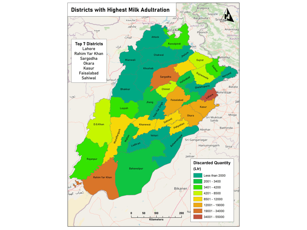
I will create a professional GIS heatmap using ArcGIS Pro 3.4 (licensed) to help you visualize spatial patterns and trends. Whether you need heatmaps for business analysis, educational research, or predictive modeling, I’ve got you covered.
Process Overview:
1) Data Preparation: Provide your dataset in .xls or .csv format, or share data in shapefile or other formats. If needed, I can also collect data from publicly available sources.
2) Data Import & Geocoding: I will import your dataset into ArcGIS Pro and geocode location data, if necessary.
3) Heatmap Generation: Using spatial analysis and density mapping tools, I’ll generate a heatmap tailored to your needs.
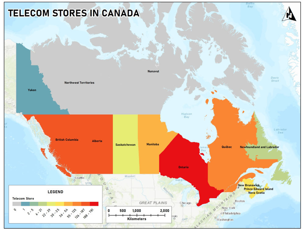
4) Cartographic Design: I will apply GIS cartographic techniques, adjusting symbology, colors, and transparency, and add essential map elements like legends, scale bars, grids, north arrows, and locator maps.
5) Export & Publishing: The final heatmap can be exported as PNG/PDF or published to ArcGIS Online or Google Maps for interactive sharing.
This workflow ensures clear, actionable insights for your project, facilitating in-depth spatial analysis for research, business intelligence, or geospatial modeling.
Process Overview:
1) Data Preparation: Provide your dataset in .xls or .csv format, or share data in shapefile or other formats. If needed, I can also collect data from publicly available sources.
2) Data Import & Geocoding: I will import your dataset into ArcGIS Pro and geocode location data, if necessary.
3) Heatmap Generation: Using spatial analysis and density mapping tools, I’ll generate a heatmap tailored to your needs.
4) Cartographic Design: I will apply GIS cartographic techniques, adjusting symbology, colors, and transparency, and add essential map elements like legends, scale bars, grids, north arrows, and locator maps.
5) Export & Publishing: The final heatmap can be exported as PNG/PDF or published to ArcGIS Online or Google Maps for interactive sharing.
This workflow ensures clear, actionable insights for your project, facilitating in-depth spatial analysis for research, business intelligence, or geospatial modeling.
Data Tool
ArcGISWhat's included
| Service Tiers |
Starter
$50
|
Standard
$80
|
Advanced
$120
|
|---|---|---|---|
| Delivery Time | 1 day | 1 day | 2 days |
Number of Revisions | Unlimited | Unlimited | Unlimited |
Data Source Connectivity | - | - | - |
Web Embedding | - | - | - |
Interactive/Animated Visuals | - | - |
Frequently asked questions
56 reviews
(56)
(0)
(0)
(0)
(0)
This project doesn't have any reviews.
DO
David O.
Mar 16, 2026
Additional Work
Ahsan always went beyond expectations and did a great job.
RK
Reeyan K.
Nov 27, 2025
LULC Map Making | Remote sensing
Ahsan is an amazing guy to work with. He is domain expert and understand requirments and deliverable very well. Surely recomeded to anyone who wish to work with him!
DO
David O.
Nov 22, 2025
Survey/GIS Pro to Place 10-Acre Tract (Metes & Bounds) on Map with 2-ft Contours — Allen County, KS
Ahsan did a great job, would definitely hire again.
MM
Mason M.
Nov 16, 2025
QGIS Mapping Specialist Needed for Florida Town Project
Communication was perfect
JF
Jeff F.
Jul 26, 2025
Site Identification for ERCOT Power Plants
About Ahsan
GIS Consultant | Cartographer | Remote Sensing Analyst | LiDAR Analyst
96%
Job Success
Lahore, Pakistan - 8:29 am local time
I am specialized in four key domains:
1) Cartography: Transforming data into visually compelling maps that tell powerful stories.
2) GIS/Spatial Analyses: Harnessing the power of geographic information systems for insightful spatial analysis.
3) Remote Sensing Analyses & Photogrammetry: Utilizing advanced techniques to extract meaningful information from remote sensing data.
4) GIS Trainings & Consultation: Empowering individuals and organizations with the knowledge to leverage GIS effectively.
I am eager to bring my skills and the collective expertise of my team to contribute to the success of your projects. I look forward to engage in a detailed discussion with you about your project to achieve the best end-results.
Steps for completing your project
After purchasing the project, send requirements so Ahsan can start the project.
Delivery time starts when Ahsan receives requirements from you.
Ahsan works on your project following the steps below.
Revisions may occur after the delivery date.
Clean and verify the data in .xls or .csv, or gather from public sources.
Load the dataset into ArcGIS Pro and geocode location data, if needed.