You will get a web mapping platform
Project details
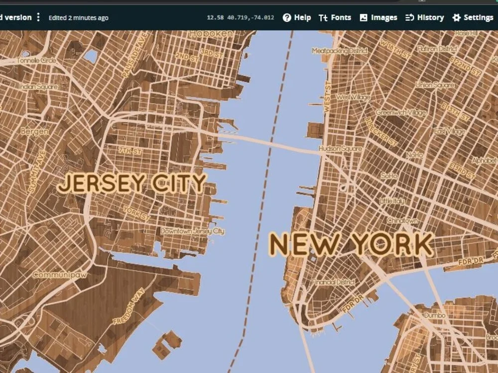
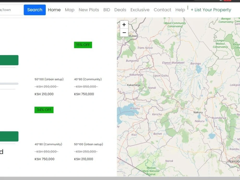
As a professional GIS javascript website developer, I have 5+ years of experience in web application development. In my GIS career, I have done professional projects using different techniques, frameworks and technologies. I have created Multiple functions to aid in the success of mapping applications to aid in various functionalities within the maps. Below are some of the languages
• Leaflet
• Map box
• Turf js
• Google map APIs
• HTML
• CSS
• SASS
• Angular
• PHP
Front End: HTML, CSS&SCSS, Bootstrap,Angular
Back End: Node js, Express js, php
Datsbase: MySQL, PostgreSQL, SQL server
Technology Packages:
• Turf, leaflet, mapbox, google maps
• Angular
• PostgreSQL, MySQL, SQL Server,
• - Node.js, Express.js
• GitHub, GitLab
Services offered
• Eye-catching Responding web mapping application
• Angular Applications
• Map functions bug fixing and creation
• Leaflet
• Map box
• Turf js
• Google map APIs
• HTML
• CSS
• SASS
• Angular
• PHP
Front End: HTML, CSS&SCSS, Bootstrap,Angular
Back End: Node js, Express js, php
Datsbase: MySQL, PostgreSQL, SQL server
Technology Packages:
• Turf, leaflet, mapbox, google maps
• Angular
• PostgreSQL, MySQL, SQL Server,
• - Node.js, Express.js
• GitHub, GitLab
Services offered
• Eye-catching Responding web mapping application
• Angular Applications
• Map functions bug fixing and creation
Programming Languages
PHP, HTML & CSS, JavaScriptCoding Expertise
Cross Browser & Device Compatibility, PSD to HTML, DesignWhat's included
| Service Tiers |
Starter
$30
|
Standard
$80
|
Advanced
$120
|
|---|---|---|---|
| Delivery Time | 2 days | 5 days | 15 days |
Number of Revisions | 2 | 5 | Unlimited |
Design Customization | - | - | - |
Content Upload | - | - | - |
Responsive Design | - | - | - |
Source Code | - | - | - |
Optional add-ons
You can add these on the next page.
Fast Delivery
+$15 - $80About Martin
GIS and Remote sensing Expert ,Web Development ,Databased dvp
Nyeri, Kenya - 8:03 am local time
- Web GIS of all types analysis/visualisation and exploitation of data
- Developmen tof Webgis portals for mapping
- Manipulation of both the
- Cartographic Skills: professional presentation of geospatial data
- ESRI ArcMap, ArcGIS Pro, ArcGIS Online, ArcGIS Server, Collector, WebApp Builder
- ArcGIS extensions: 3D Analyst, Network Analyst, Spatial Analyst
- MySQL, MS Access, Libre Office Base, SQL Server, Oracle
- Data conversion between various formats
- Automating workflows using Modelbuilder and FME
- AutoCAD, Adobe XD, Illustrator, FreeHand
- Digitizing and drafting
- Capable of working with Microsoft Suite products: Word, Excel, Access
- integration in geographic information systems
Steps for completing your project
After purchasing the project, send requirements so Martin can start the project.
Delivery time starts when Martin receives requirements from you.
Martin works on your project following the steps below.
Revisions may occur after the delivery date.
Requirements
What are the requirements of the web map, state the needs and if a UI is anvaillable kindly send it too.