You will get accurate and verifiable geospatial data in a format of your choosing
Project details
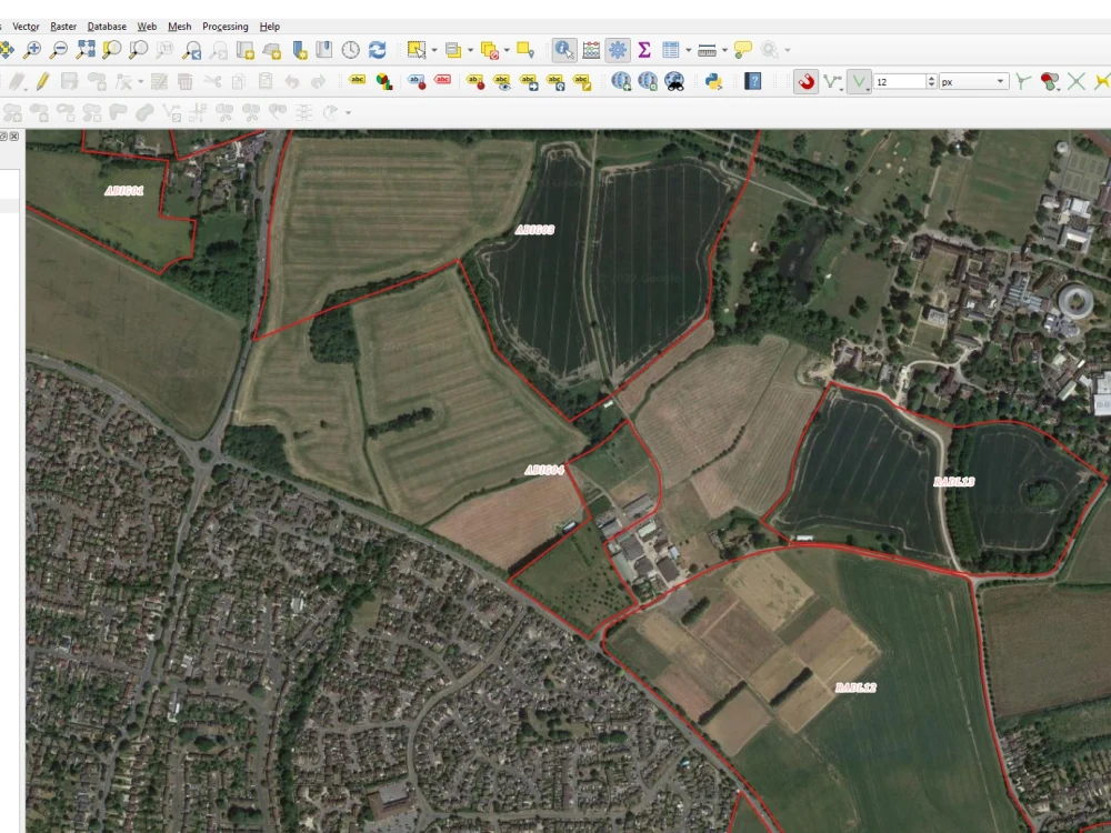
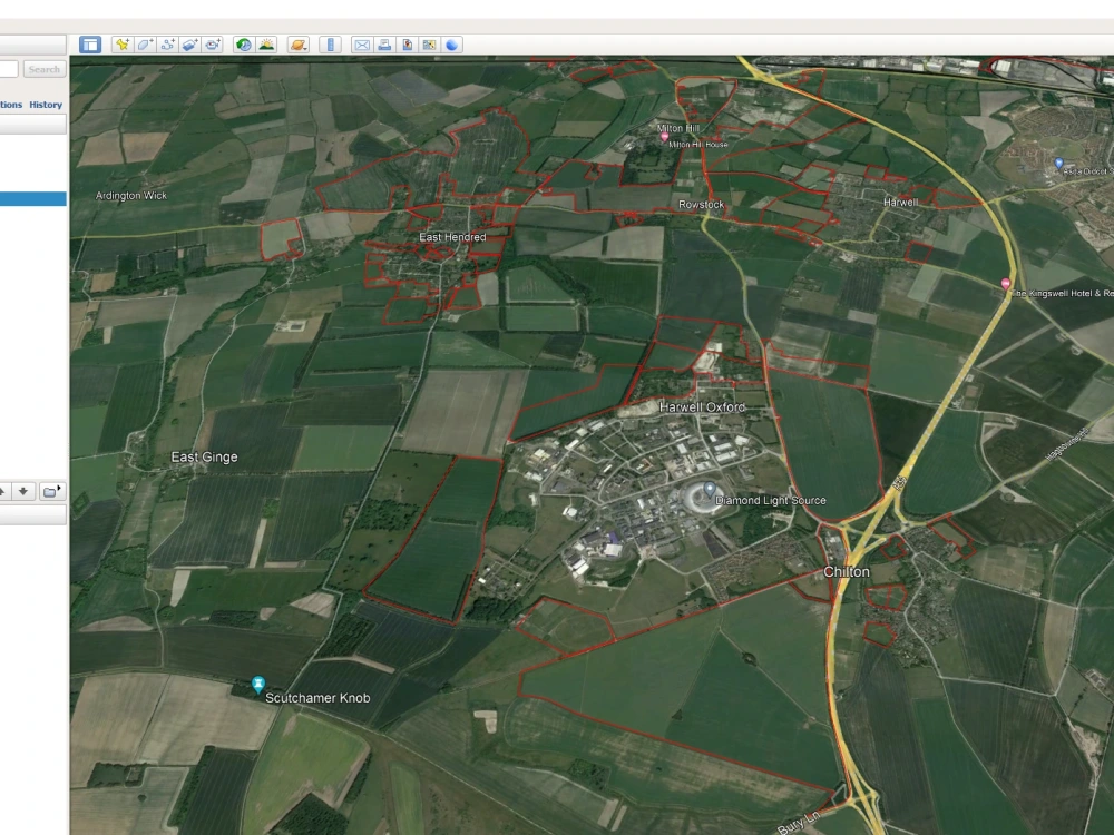
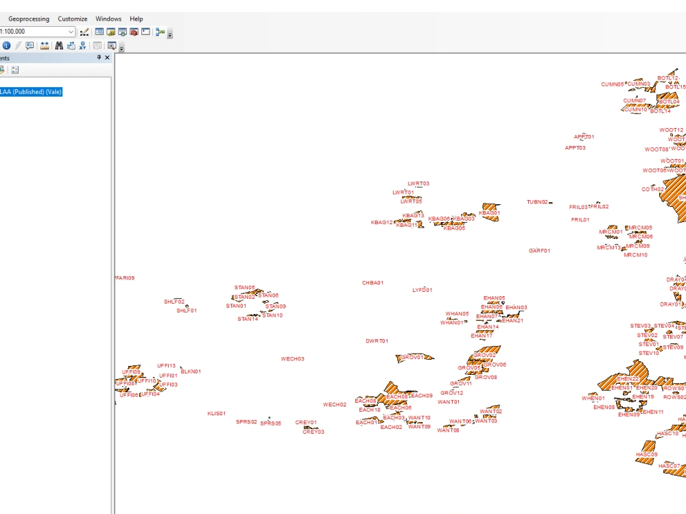
I will digitize geospatial data for you from any part of the world, be it the latest data from satellite imagery, old data from records, or government data available from online sources and links. The data is then delivered in a CRS of your choosing as well as a format of your choosing from shapefile to GeoJSON to any other format.
Data Tool
ArcGISWhat's included
| Service Tiers |
Starter
$30
|
Standard
$50
|
Advanced
$75
|
|---|---|---|---|
| Delivery Time | 5 days | 4 days | 3 days |
Number of Revisions | 2 | 3 | 5 |
Number of Pages Mined/Scraped | 10 | 20 | 20 |
Number of Sources Mined/Scraped | 5 | 10 | 10 |
Optional add-ons
You can add these on the next page.
Fast Delivery
+$10 - $30About Fleetwood
Geospatial Data Analyst, Remote Sensing Technician & Cartographer
Nairobi, Kenya - 5:57 am local time
I am a passionate and results-driven Geospatial Data Specialist with over 5 years of experience in GIS, remote sensing, cartography, and environmental data analysis. My background combines formal training in Geoinformatics and Data Analytics with hands-on work supporting both government and private sector clients in land management, environmental monitoring, and infrastructure planning.
I specialize in:
> Spatial data processing and analysis using ArcGIS, QGIS, GeoPandas, and PostGIS
> Remote sensing (Sentinel-1/2, Landsat, UAV imagery) for land cover mapping, flood risk assessment, and carbon stock estimation
> Map design and cartographic production for print and digital use (PDF, PNG, KMZ, AI)
> Geospatial automation and scripting using Python, R, and open-source tools
> Data visualization and dashboards using Power BI, Google Earth Engine, and Streamlit
> Survey and mapping workflow digitisation for national and sub-national planning systems
My clients value me for being detail-oriented, dependable, collaborative, and solution-focused. Whether supporting student research, assisting NGOs with environmental reports, or delivering polished maps for investor presentations, I adapt quickly to your goals and work style.
I’ve successfully completed projects such as:
- Digitizing and geo-referencing UK PDF parcel maps for real estate investment platforms
- Developing carbon stock estimation models using machine learning (Random Forest, XGBoost, CatBoost)
- Creating risk-awareness and security zone maps for investor advisory reports in West Africa
- Supporting spatial accessibility modeling for public health infrastructure using network analysis
- Automating spatial workflows and metadata management for cadastral records using QGIS and Python
As a licensed UAV pilot, I also integrate drone-collected data into GIS workflows—adding value to fieldwork-heavy projects in agriculture, forestry, and urban planning.
If you need reliable GIS and remote sensing expertise with a client-first attitude and a track record of impact, let’s connect.
Let’s build smart, spatially-informed solutions together.
Steps for completing your project
After purchasing the project, send requirements so Fleetwood can start the project.
Delivery time starts when Fleetwood receives requirements from you.
Fleetwood works on your project following the steps below.
Revisions may occur after the delivery date.
Data Digitization and Submission
Data is digitized, checked, saved in a format of your choosing, and submitted to you in a zipped folder.
Approval
Once data is approved and the attributes checked, it is approved and the project is marked as complete