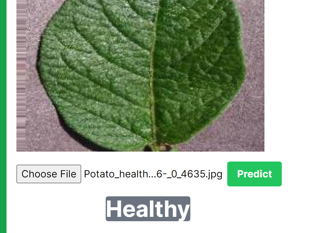
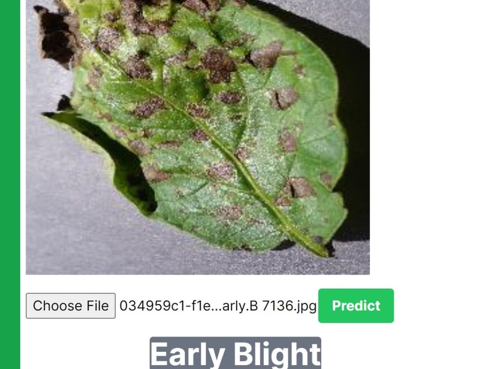
You will get an Image Classification API

Project details
In this project, what sets me apart is my expertise in developing cutting-edge deep learning models for image classification and my commitment to providing end-to-end solutions. I not only create highly accurate custom models but also integrate them seamlessly into user-friendly APIs, making image classification easily accessible for clients. Additionally, I offer an all-in-one package that covers data sourcing, model development, and API setup, ensuring a comprehensive and hassle-free solution for clients looking to enhance their image classification capabilities.
Machine Learning Tools
NumPy, pandas, Python, Python Scikit-Learn, PyTorchWhat's included
| Service Tiers |
Starter
$10
|
Standard
$20
|
Advanced
$30
|
|---|---|---|---|
| Delivery Time | 7 days | 14 days | 21 days |
Number of Revisions | 1 | 2 | 3 |
Model Validation/Testing | |||
Model Documentation | - | ||
Data Source Connectivity | - | - | |
Source Code |
Optional add-ons
You can add these on the next page.
Fast Delivery
+$20 - $50
Additional Revision
+$30
Additional Model Variation
(+ 7 Days)
+$30About Meskine
Data Science
Algiers, Algeria - 10:04 am local time
Skills and Strengths:
Expertise in PyTorch for machine learning and deep learning applications.
Proficiency in utilizing Google Earth Engine for geospatial data analysis.
Strong data analysis, modeling, and visualization skills.
Solid knowledge of data preprocessing, feature engineering, and statistical analysis.
Excellent problem-solving abilities and a keen eye for pattern recognition.
Effective communication and teamwork in remote settings.
Projects and Accomplishments:
Contributed to a remote sensing startup, where I played a key role in developing machine learning models for image classification and object detection, enhancing the accuracy of satellite data analysis.
Led projects that involved satellite image segmentation, time-series analysis, and land cover classification, providing valuable insights for environmental monitoring, agriculture, and urban planning.
Education:
Master's degree in Space Telecommunications from the Institute of Aeronautics and Space Studies Blida1.
In a nutshell, I have the skills, experience, and commitment needed to help you tackle data science challenges in remote sensing. Let's collaborate to unlock the full potential of your data. Feel free to reach out for a discussion about your specific project requirements.
Steps for completing your project
After purchasing the project, send requirements so Meskine can start the project.
Delivery time starts when Meskine receives requirements from you.
Meskine works on your project following the steps below.
Revisions may occur after the delivery date.
Data Sourcing
Data Preprocessing